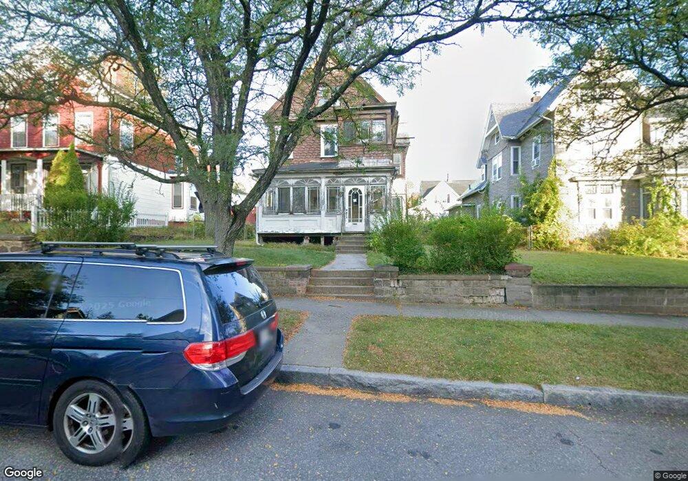
215 Pine St Holyoke, MA 01040
Holyoke AreaEstimated Value: $205,000 - $312,000
About This Home
This home is located at 215 Pine St, Holyoke, MA 01040 and is currently estimated at $250,688, approximately $140 per square foot. 215 Pine St is a home located in Hampden County with nearby schools including H.B. Lawrence Elementary School, Holyoke High School, and Mater Dolorosa Elementary School.
Ownership History
We collect this data history from publicly available records. To have your information removed, we recommend requesting removal directly through your county’s website.
Purchase Details
Purchase Details
Home Values in the Area
Average Home Value in this Area
Purchase History
We collect this data history from publicly available records. To have your information removed, we recommend requesting removal directly through your county’s website.
| Date | Buyer | Sale Price | Title Company |
|---|---|---|---|
| -- | -- | ||
| $35,000 | -- |
Tax History
We collect this data history from publicly available records. To have your information removed, we recommend requesting removal directly through your county’s website.
| Year | Tax Paid | Tax Assessment Tax Assessment Total Assessment is a certain percentage of the fair market value that is determined by local assessors to be the total taxable value of land and additions on the property. | Land | Improvement |
|---|---|---|---|---|
| 2025 | $2,722 | $155,900 | $36,200 | $119,700 |
| 2024 | $2,547 | $134,400 | $34,400 | $100,000 |
| 2023 | $2,369 | $126,300 | $34,400 | $91,900 |
| 2022 | $2,388 | $124,000 | $34,400 | $89,600 |
| 2021 | $2,118 | $109,900 | $32,300 | $77,600 |
| 2020 | $1,984 | $104,000 | $32,300 | $71,700 |
| 2019 | $1,885 | $97,700 | $28,500 | $69,200 |
| 2018 | $1,777 | $92,900 | $28,500 | $64,400 |
| 2017 | $1,781 | $92,900 | $28,500 | $64,400 |
| 2016 | $1,690 | $88,400 | $27,000 | $61,400 |
| 2015 | $1,683 | $88,400 | $27,000 | $61,400 |
Map
- 225-227 Beech St
- 200 Walnut St Unit 200
- 179-183 Walnut St
- 193 Elm St
- 187 Chestnut St
- 146 Beech St
- 219 Suffolk St
- 179 Sargeant St
- 275 Suffolk St
- 301-303 Linden St
- 97 Newton St
- 9 Owens Place
- 213 Locust St
- 101 Cabot St Unit 602
- 181-183 High St
- 56 Pine St
- 345-363 Dwight St
- 1022-1024 Hampden St
- 3 Pinehurst Rd
- 60-62 Shawmut Ave
Ask me questions while you tour the home.