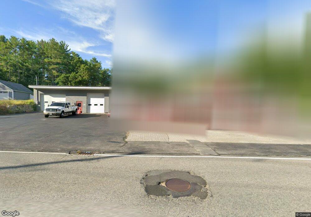
215 Pleasant St Dunstable, MA 01827
Estimated Value: $792,147
6
Beds
2
Baths
2,264
Sq Ft
$350/Sq Ft
Est. Value
About This Home
This home is located at 215 Pleasant St, Dunstable, MA 01827 and is currently estimated at $792,147, approximately $349 per square foot. 215 Pleasant St is a home located in Middlesex County with nearby schools including Groton Dunstable Regional High School.
Ownership History
Date
Name
Owned For
Owner Type
Purchase Details
Closed on
Jan 22, 2020
Sold by
215 Pleasant Street Rt
Bought by
215 Pleasant Llc
Current Estimated Value
Purchase Details
Closed on
Sep 24, 2013
Sold by
215 Pleasant Street Rt and Raymond Matthew S
Bought by
215 Pleasant Street Rt and Raymond Matthew S
Purchase Details
Closed on
Dec 26, 2008
Sold by
Salmon Brook Rt and Nelson Robert
Bought by
215 Pleasant Street Rt and Raymond Matthew S
Home Financials for this Owner
Home Financials are based on the most recent Mortgage that was taken out on this home.
Original Mortgage
$276,220
Interest Rate
6.17%
Mortgage Type
Commercial
Purchase Details
Closed on
Nov 18, 2002
Sold by
Debarbian Mary A
Bought by
Salmon Brook Rt and Nelson Robert
Home Financials for this Owner
Home Financials are based on the most recent Mortgage that was taken out on this home.
Original Mortgage
$300,000
Interest Rate
6.03%
Mortgage Type
Commercial
Create a Home Valuation Report for This Property
The Home Valuation Report is an in-depth analysis detailing your home's value as well as a comparison with similar homes in the area
Home Values in the Area
Average Home Value in this Area
Purchase History
| Date | Buyer | Sale Price | Title Company |
|---|---|---|---|
| 215 Pleasant Llc | -- | None Available | |
| 215 Pleasant Street Rt | -- | -- | |
| 215 Pleasant Street Rt | $350,000 | -- | |
| Salmon Brook Rt | $330,000 | -- |
Source: Public Records
Mortgage History
| Date | Status | Borrower | Loan Amount |
|---|---|---|---|
| Previous Owner | 215 Pleasant Street Rt | $276,220 | |
| Previous Owner | Salmon Brook Rt | $300,000 |
Source: Public Records
Tax History Compared to Growth
Tax History
| Year | Tax Paid | Tax Assessment Tax Assessment Total Assessment is a certain percentage of the fair market value that is determined by local assessors to be the total taxable value of land and additions on the property. | Land | Improvement |
|---|---|---|---|---|
| 2025 | $11,556 | $840,400 | $287,500 | $552,900 |
| 2024 | $10,868 | $778,500 | $262,100 | $516,400 |
| 2023 | $11,269 | $752,800 | $262,100 | $490,700 |
| 2022 | $11,239 | $737,000 | $262,100 | $474,900 |
| 2021 | $9,247 | $563,500 | $239,200 | $324,300 |
| 2020 | $8,982 | $533,400 | $239,200 | $294,200 |
| 2019 | $8,904 | $521,900 | $239,200 | $282,700 |
| 2018 | $8,991 | $512,600 | $236,700 | $275,900 |
| 2017 | $8,661 | $508,900 | $236,700 | $272,200 |
| 2016 | $8,253 | $498,700 | $226,500 | $272,200 |
| 2015 | $7,701 | $460,300 | $191,900 | $268,400 |
| 2014 | $7,259 | $460,300 | $191,900 | $268,400 |
Source: Public Records
Map
Nearby Homes
- 319 Pleasant St
- 153 Off Pond St
- 446 Westford St
- 0 Lowell St
- 8 Jamie Rd
- 660 Old Dunstable Rd
- 91 Century Way
- 41 Pinebrook Rd
- 45 Red Gate Rd
- 2 Wildflower Ln
- 5 Doucet Ave
- 1 Doucet Ave
- 63 Wilderness Dr Unit Derby 2
- 58 Wilderness Dr
- 2 Wilderness Dr
- 50 Wilderness Dr
- 1 Wilderness Dr
- 79 Wilderness Dr
- 4 Wilderness Dr
- 7 Wilderness Dr
- 0LOT3 Groton St
- 0LOT2 Groton St
- 223 Pleasant St
- 0 Groton St (Next 337)
- 0 Groton St (Next 377)
- 233 Pleasant St
- 177 Pleasant St
- 219 Pleasant St
- 174 Pleasant St
- 167 Pleasant St
- 165 Pleasant St
- 243 Pleasant St
- 157 Pleasant St
- 250 Pleasant St
- 253 Pleasant St
- 159 Pleasant St
- 135 Pleasant St
- 257 Pleasant St
- 44 Groton St
- 136 Pleasant St