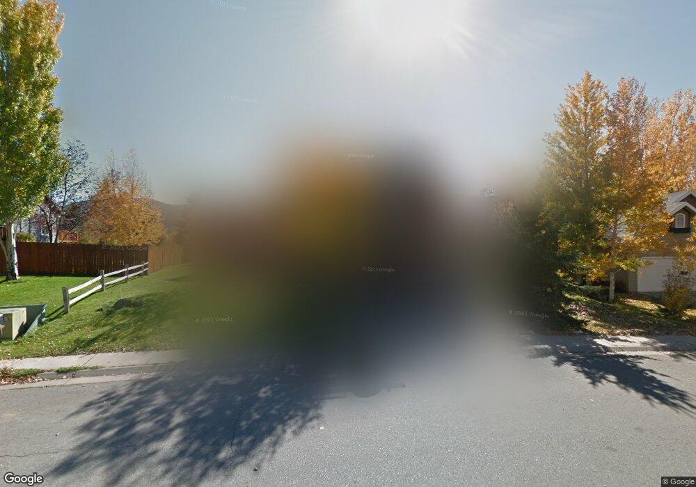
215 Rabbit Rd Carbondale, CO 81623
Estimated Value: $1,516,000 - $1,749,000
4
Beds
4
Baths
2,767
Sq Ft
$586/Sq Ft
Est. Value
About This Home
This home is located at 215 Rabbit Rd, Carbondale, CO 81623 and is currently estimated at $1,621,274, approximately $585 per square foot. 215 Rabbit Rd is a home located in Eagle County with nearby schools including Waldorf School on the Roaring Fork and Cornerstone Classical School.
Ownership History
Date
Name
Owned For
Owner Type
Purchase Details
Closed on
Jan 14, 2004
Sold by
Bank Of New York
Bought by
Harrington Matthew J and Harrington Terry L
Current Estimated Value
Home Financials for this Owner
Home Financials are based on the most recent Mortgage that was taken out on this home.
Original Mortgage
$138,750
Outstanding Balance
$64,798
Interest Rate
5.88%
Mortgage Type
Purchase Money Mortgage
Estimated Equity
$1,556,476
Create a Home Valuation Report for This Property
The Home Valuation Report is an in-depth analysis detailing your home's value as well as a comparison with similar homes in the area
Home Values in the Area
Average Home Value in this Area
Purchase History
| Date | Buyer | Sale Price | Title Company |
|---|---|---|---|
| Harrington Matthew J | $277,500 | -- |
Source: Public Records
Mortgage History
| Date | Status | Borrower | Loan Amount |
|---|---|---|---|
| Open | Harrington Matthew J | $138,750 | |
| Closed | Harrington Matthew J | $83,250 |
Source: Public Records
Tax History
| Year | Tax Paid | Tax Assessment Tax Assessment Total Assessment is a certain percentage of the fair market value that is determined by local assessors to be the total taxable value of land and additions on the property. | Land | Improvement |
|---|---|---|---|---|
| 2024 | $6,161 | $82,530 | $18,280 | $64,250 |
| 2023 | $6,161 | $82,530 | $18,280 | $64,250 |
| 2022 | $4,566 | $56,600 | $9,170 | $47,430 |
| 2021 | $4,692 | $58,240 | $9,440 | $48,800 |
| 2020 | $3,809 | $49,610 | $9,440 | $40,170 |
| 2019 | $3,844 | $49,610 | $9,440 | $40,170 |
| 2018 | $3,492 | $44,640 | $8,640 | $36,000 |
| 2017 | $3,307 | $44,640 | $8,640 | $36,000 |
| 2016 | $3,224 | $42,750 | $7,960 | $34,790 |
Source: Public Records
Map
Nearby Homes
- 19 Buckskin Ct
- 93 Quail Run
- 123 Summit Dr
- 456 Black Bear Trail
- 1207 Hooks Spur Rd
- 161 James Cir
- 14 Fender Ln
- 219 Overlook
- 114 Juniper Trail
- 140 Juniper Trail Unit 140
- 145 Juniper Trail
- 577 Fox Run Dr
- 201 Tree Farm Dr Unit The Creekside
- 201 Tree Farm Dr Unit All Parcels
- 201 Tree Farm Dr Unit The Lakeview
- 128 Hopi
- TBD Tree Farm Dr Unit A4 - 201
- TBD Tree Farm Dr Unit A1-302
- TBD Tree Farm Dr Unit A2 - 301
- TBD Tree Farm Dr Unit A4 - 202
Your Personal Tour Guide
Ask me questions while you tour the home.