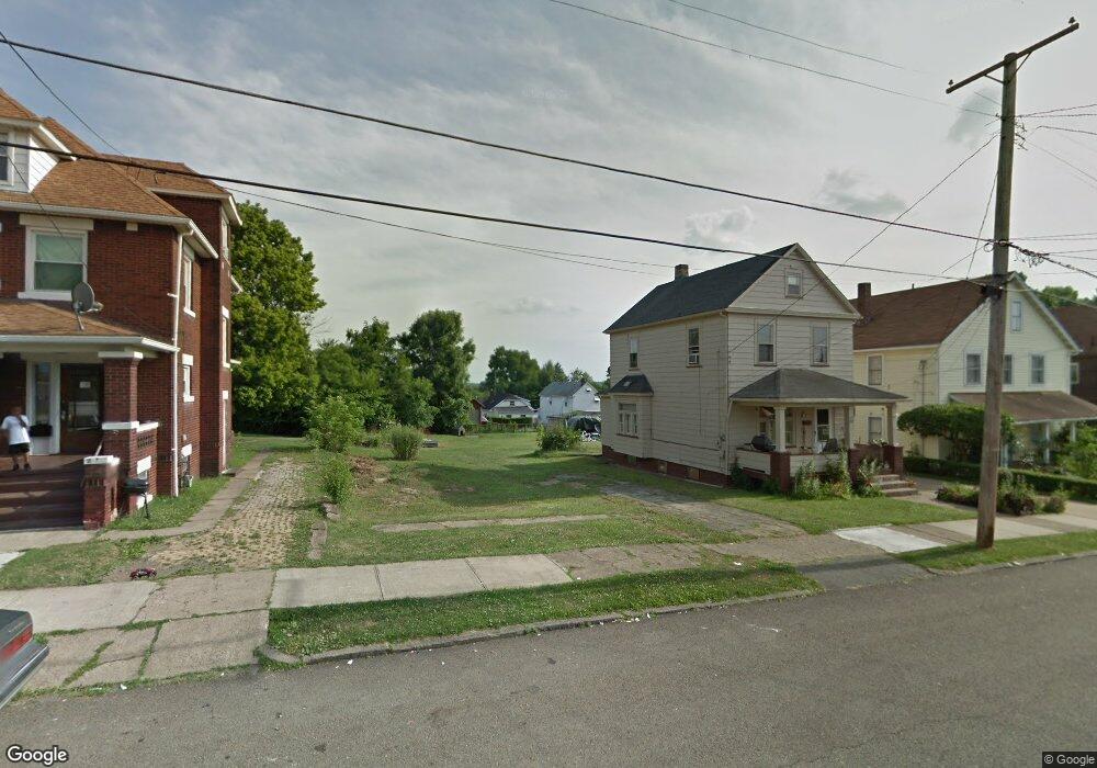
215 Reed Ave Campbell, OH 44405
Estimated Value: $40,000 - $131,000
--
Bed
2
Baths
--
Sq Ft
5,706
Sq Ft Lot
About This Home
This home is located at 215 Reed Ave, Campbell, OH 44405 and is currently estimated at $85,500. 215 Reed Ave is a home located in Mahoning County with nearby schools including Campbell Elementary School, Memorial High School, and Northeast Ohio Impact Academy.
Ownership History
Date
Name
Owned For
Owner Type
Purchase Details
Closed on
Oct 24, 2023
Sold by
City Of Campbell Land Re-Utilization Pro
Bought by
Garcia Francisco
Current Estimated Value
Purchase Details
Closed on
May 5, 2021
Sold by
White Jill M and Yemma Daniel R
Bought by
City Of Campbell Land Reutilization Prog
Purchase Details
Closed on
Feb 1, 1999
Sold by
Copanic Chet and Kopanic Chet
Bought by
White Jill M and Ogrady Linda
Purchase Details
Closed on
Jan 13, 1993
Bought by
Kopanic Chet
Create a Home Valuation Report for This Property
The Home Valuation Report is an in-depth analysis detailing your home's value as well as a comparison with similar homes in the area
Home Values in the Area
Average Home Value in this Area
Purchase History
| Date | Buyer | Sale Price | Title Company |
|---|---|---|---|
| Garcia Francisco | -- | None Listed On Document | |
| Garcia Francisco | -- | None Listed On Document | |
| City Of Campbell Land Reutilization Prog | $3,029 | None Available | |
| White Jill M | $43,000 | -- | |
| Kopanic Chet | $5,000 | -- |
Source: Public Records
Mortgage History
| Date | Status | Borrower | Loan Amount |
|---|---|---|---|
| Closed | White Jill M | $0 |
Source: Public Records
Tax History Compared to Growth
Tax History
| Year | Tax Paid | Tax Assessment Tax Assessment Total Assessment is a certain percentage of the fair market value that is determined by local assessors to be the total taxable value of land and additions on the property. | Land | Improvement |
|---|---|---|---|---|
| 2024 | $46 | $850 | $850 | -- |
| 2022 | $0 | $780 | $780 | $0 |
| 2021 | $47 | $780 | $780 | $0 |
| 2020 | $47 | $780 | $780 | $0 |
| 2019 | $50 | $740 | $740 | $0 |
| 2018 | $59 | $740 | $740 | $0 |
| 2017 | $53 | $740 | $740 | $0 |
| 2016 | $55 | $850 | $850 | $0 |
| 2015 | $57 | $850 | $850 | $0 |
| 2014 | $54 | $850 | $850 | $0 |
| 2013 | $53 | $850 | $850 | $0 |
Source: Public Records
Map
Nearby Homes
- 247 Reed Ave
- 115 Madison St
- 134 Chambers St
- 130 12th St
- 0 Penhale Ave
- 664 Tenney Ave
- 680 Tenney Ave
- 650 Penhale Ave
- 684 Devitt Ave
- 90 Frank St
- 528 Hyatt Ave
- 97 Rosary Dr
- 331 Sanderson Ave
- 3307 Upland Ave
- 619 Robinson Rd
- 291 Struthers Liberty Rd
- 746 Whipple Ave
- 296 Sanderson Ave
- 519 Blossom Ave
- 338 Blossom Ave