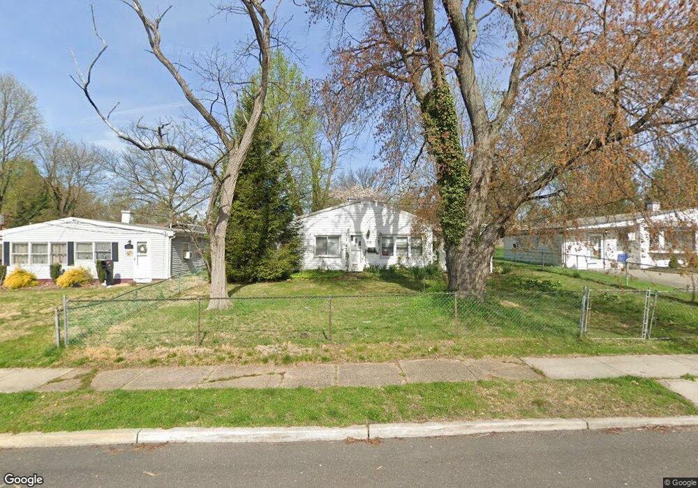
215 Ruth Ave Maple Shade, NJ 08052
Estimated Value: $158,000 - $270,000
2
Beds
1
Bath
1,033
Sq Ft
$207/Sq Ft
Est. Value
About This Home
This home is located at 215 Ruth Ave, Maple Shade, NJ 08052 and is currently estimated at $213,874, approximately $207 per square foot. 215 Ruth Ave is a home located in Burlington County with nearby schools including Maude M. Wilkins Elementary School, Ralph J Steinhauer Elementary School, and Howard R Yocum School.
Ownership History
Date
Name
Owned For
Owner Type
Purchase Details
Closed on
Jan 23, 2025
Sold by
Sheriff Of County Burlington
Bought by
Bb 316 Realty Llc and Martel
Current Estimated Value
Purchase Details
Closed on
Feb 4, 2005
Sold by
Ross Vaughn K
Bought by
Ross Rita Anne
Home Financials for this Owner
Home Financials are based on the most recent Mortgage that was taken out on this home.
Original Mortgage
$103,500
Interest Rate
9.7%
Mortgage Type
Fannie Mae Freddie Mac
Create a Home Valuation Report for This Property
The Home Valuation Report is an in-depth analysis detailing your home's value as well as a comparison with similar homes in the area
Home Values in the Area
Average Home Value in this Area
Purchase History
| Date | Buyer | Sale Price | Title Company |
|---|---|---|---|
| Bb 316 Realty Llc | $145,000 | None Listed On Document | |
| Bb 316 Realty Llc | $145,000 | None Listed On Document | |
| Ross Rita Anne | -- | Crossroads Title Services |
Source: Public Records
Mortgage History
| Date | Status | Borrower | Loan Amount |
|---|---|---|---|
| Previous Owner | Ross Rita Anne | $103,500 |
Source: Public Records
Tax History
| Year | Tax Paid | Tax Assessment Tax Assessment Total Assessment is a certain percentage of the fair market value that is determined by local assessors to be the total taxable value of land and additions on the property. | Land | Improvement |
|---|---|---|---|---|
| 2025 | $4,502 | $118,600 | $46,300 | $72,300 |
| 2024 | $4,372 | $118,600 | $46,300 | $72,300 |
| 2023 | $4,372 | $118,600 | $46,300 | $72,300 |
| 2022 | $4,262 | $118,600 | $46,300 | $72,300 |
| 2021 | $4,262 | $118,600 | $46,300 | $72,300 |
| 2020 | $4,274 | $118,600 | $46,300 | $72,300 |
| 2019 | $4,118 | $118,600 | $46,300 | $72,300 |
| 2018 | $4,047 | $118,600 | $46,300 | $72,300 |
| 2017 | $3,999 | $118,600 | $46,300 | $72,300 |
| 2016 | $3,940 | $118,600 | $46,300 | $72,300 |
| 2015 | $3,855 | $118,600 | $46,300 | $72,300 |
| 2014 | $3,737 | $118,600 | $46,300 | $72,300 |
Source: Public Records
Map
Nearby Homes
- 452 Elm Ave
- 206 S Maple Ave
- 44 S Pine Ave
- 66 W Center Ave
- 15 S Pine Ave
- 61 S Maple Ave
- 115 E Kings Hwy Unit 187
- 115 E Kings Hwy Unit 125
- 42 Spruce Ave
- 169 Cherry Tree Ln
- 114 Weather Vane Dr
- 3005 Garfield Ave
- 47 S Lippincott Ave
- 26 Morris Ave
- 57 S Terrace Ave
- 22 Theodore Ave
- 3001 Church Rd
- 102 Kings Croft
- 126 S Lenola Rd
- 318 Kings Croft
Your Personal Tour Guide
Ask me questions while you tour the home.