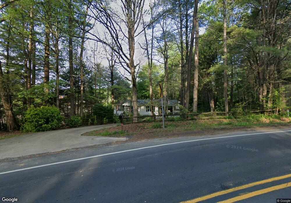
215 Rutledge Rd Fletcher, NC 28732
Estimated Value: $361,660 - $403,000
2
Beds
2
Baths
1,144
Sq Ft
$336/Sq Ft
Est. Value
About This Home
This home is located at 215 Rutledge Rd, Fletcher, NC 28732 and is currently estimated at $384,915, approximately $336 per square foot. 215 Rutledge Rd is a home located in Henderson County with nearby schools including Rugby Middle School, West Henderson High School, and FernLeaf Community Charter.
Ownership History
Date
Name
Owned For
Owner Type
Purchase Details
Closed on
Jul 12, 2024
Sold by
Lackey Song and Noh Song O
Bought by
Noh Song O
Current Estimated Value
Purchase Details
Closed on
Aug 23, 2011
Bought by
Lackey Song
Purchase Details
Closed on
Oct 12, 2005
Sold by
Not Provided
Bought by
Lackey Song
Create a Home Valuation Report for This Property
The Home Valuation Report is an in-depth analysis detailing your home's value as well as a comparison with similar homes in the area
Home Values in the Area
Average Home Value in this Area
Purchase History
| Date | Buyer | Sale Price | Title Company |
|---|---|---|---|
| Noh Song O | -- | None Listed On Document | |
| Noh Song O | -- | None Listed On Document | |
| Lackey Song | -- | -- | |
| Lackey Song | $155,000 | -- |
Source: Public Records
Tax History Compared to Growth
Tax History
| Year | Tax Paid | Tax Assessment Tax Assessment Total Assessment is a certain percentage of the fair market value that is determined by local assessors to be the total taxable value of land and additions on the property. | Land | Improvement |
|---|---|---|---|---|
| 2025 | $1,301 | $301,800 | $97,200 | $204,600 |
| 2024 | $1,301 | $301,800 | $97,200 | $204,600 |
| 2023 | $1,301 | $301,800 | $97,200 | $204,600 |
| 2022 | $1,012 | $180,400 | $50,000 | $130,400 |
| 2021 | $1,012 | $180,400 | $50,000 | $130,400 |
| 2020 | $1,012 | $180,400 | $0 | $0 |
| 2019 | $1,012 | $180,400 | $0 | $0 |
| 2018 | $905 | $160,100 | $0 | $0 |
| 2017 | $905 | $160,100 | $0 | $0 |
| 2016 | $905 | $160,100 | $0 | $0 |
| 2015 | -- | $160,100 | $0 | $0 |
| 2014 | -- | $155,100 | $0 | $0 |
Source: Public Records
Map
Nearby Homes
- 93 Stafford Ct
- 412 Wiltshire Cir
- 324 Wiltshire Cir
- 24 Lanceford Cir
- 48 Lanceford Cir
- 270 Farington Cir
- 196 Underwood Rd
- Barrington Plan at The Authors
- Winston Plan at The Authors
- Palmer Plan at The Authors
- Madison Plan at The Authors
- Pelham Plan at The Authors
- Carlisle Plan at The Authors
- Kingsley Plan at The Authors
- Canterbury Plan at The Authors
- Oxford Plan at The Authors
- Hampton Plan at The Authors
- Huntington Plan at The Authors
- 52 N Christie Ct
- 3 E Wilde Way
- 78 Wiltshire Cir
- 58 Wiltshire Cir
- 88 Wiltshire Cir
- 1 W Rutledge Ct
- 92 Wiltshire Cir
- 92 Wiltshire Cir Unit 19
- 46 Wiltshire Cir
- 104 Wiltshire Cir
- 3 Brandy Ln
- 42 Wiltshire Cir
- 5 W Rutledge Ct
- 79 Wiltshire Cir
- 79 Wiltshire Cir Unit 14
- 63 Wiltshire Cir
- 85 Wiltshire Cir
- 57 Wiltshire Cir
- 89 Wiltshire Cir
- 36 Wiltshire Cir
- 93 Wiltshire Cir
- 51 Wiltshire Cir