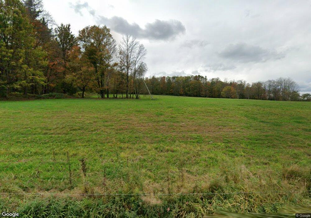
215 S Baker Rd Waymart, PA 18472
Estimated Value: $155,000 - $259,000
2
Beds
1
Bath
907
Sq Ft
$227/Sq Ft
Est. Value
About This Home
This home is located at 215 S Baker Rd, Waymart, PA 18472 and is currently estimated at $205,920, approximately $227 per square foot. 215 S Baker Rd is a home located in Wayne County with nearby schools including Western Wayne High School and Canaan Christian Academy.
Ownership History
Date
Name
Owned For
Owner Type
Purchase Details
Closed on
Sep 15, 2015
Sold by
Perricone Frances Catherine
Bought by
Puhl John Wayne
Current Estimated Value
Home Financials for this Owner
Home Financials are based on the most recent Mortgage that was taken out on this home.
Original Mortgage
$88,200
Outstanding Balance
$69,417
Interest Rate
3.97%
Mortgage Type
New Conventional
Estimated Equity
$136,503
Purchase Details
Closed on
May 10, 2011
Sold by
Estate Of Margerie W Mignerey and Sledzinski Susan
Bought by
Smith John A
Create a Home Valuation Report for This Property
The Home Valuation Report is an in-depth analysis detailing your home's value as well as a comparison with similar homes in the area
Home Values in the Area
Average Home Value in this Area
Purchase History
| Date | Buyer | Sale Price | Title Company |
|---|---|---|---|
| Puhl John Wayne | $98,000 | Attorney | |
| Smith John A | $86,000 | None Available |
Source: Public Records
Mortgage History
| Date | Status | Borrower | Loan Amount |
|---|---|---|---|
| Open | Puhl John Wayne | $88,200 |
Source: Public Records
Tax History Compared to Growth
Tax History
| Year | Tax Paid | Tax Assessment Tax Assessment Total Assessment is a certain percentage of the fair market value that is determined by local assessors to be the total taxable value of land and additions on the property. | Land | Improvement |
|---|---|---|---|---|
| 2025 | $2,274 | $140,500 | $55,800 | $84,700 |
| 2024 | $2,161 | $140,500 | $55,800 | $84,700 |
| 2023 | $3,061 | $140,500 | $55,800 | $84,700 |
| 2022 | $2,444 | $103,700 | $29,300 | $74,400 |
| 2021 | $2,383 | $103,700 | $29,300 | $74,400 |
| 2020 | $2,356 | $103,700 | $29,300 | $74,400 |
| 2019 | $2,226 | $103,700 | $29,300 | $74,400 |
| 2018 | $2,213 | $103,700 | $29,300 | $74,400 |
| 2017 | $452 | $103,700 | $29,300 | $74,400 |
| 2016 | $2,144 | $103,700 | $29,300 | $74,400 |
| 2014 | -- | $103,700 | $29,300 | $74,400 |
Source: Public Records
Map
Nearby Homes
- 434 Hemlock Rd
- 2154 Easton Turnpike
- 0 Oakview Ln
- 131 Hidden Valley Dr
- 2669 Easton Turnpike
- 0 Racht Rd Unit PWBPW252811
- 185 Gravity Rd
- 1874 Lake Ariel Hwy
- 0 Keystone Rd
- 733 Stock Farm Rd
- 0 Robinson and Fox Rd
- 94 Thornwood Terrace
- 27 Thornwood Terrace
- 56 Thornwood Terrace
- 20 Oak Ln
- 79 Chestnuthill Dr
- 36 Hidden Lake Dr
- 80 Hidden Lake Dr
- 14 Hemlock Ln
- 58 Salem View Dr
