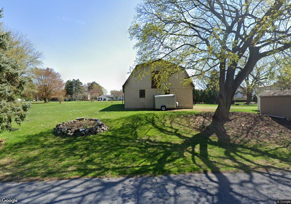
215 S State St Ephrata, PA 17522
Estimated Value: $321,000 - $456,000
4
Beds
3
Baths
2,592
Sq Ft
$147/Sq Ft
Est. Value
About This Home
This home is located at 215 S State St, Ephrata, PA 17522 and is currently estimated at $381,555, approximately $147 per square foot. 215 S State St is a home with nearby schools including Brownstown El School, Gerald G. Huesken Middle School, and Conestoga Valley High School.
Ownership History
Date
Name
Owned For
Owner Type
Purchase Details
Closed on
Sep 13, 2025
Sold by
King Benjamin S
Bought by
King Benjamin S and King Sylvia J
Current Estimated Value
Purchase Details
Closed on
Mar 17, 2021
Sold by
Zeiset Reuben Z
Bought by
King Benjamin S and King Barbara E
Purchase Details
Closed on
Nov 13, 2019
Sold by
Shirk Eli B and Shirk Lydia G
Bought by
Zeiset Reuben Z
Home Financials for this Owner
Home Financials are based on the most recent Mortgage that was taken out on this home.
Original Mortgage
$151,000
Interest Rate
3.65%
Mortgage Type
Future Advance Clause Open End Mortgage
Create a Home Valuation Report for This Property
The Home Valuation Report is an in-depth analysis detailing your home's value as well as a comparison with similar homes in the area
Home Values in the Area
Average Home Value in this Area
Purchase History
| Date | Buyer | Sale Price | Title Company |
|---|---|---|---|
| King Benjamin S | -- | None Listed On Document | |
| King Benjamin S | $300,000 | None Available | |
| Zeiset Reuben Z | $150,000 | None Available |
Source: Public Records
Mortgage History
| Date | Status | Borrower | Loan Amount |
|---|---|---|---|
| Previous Owner | Zeiset Reuben Z | $151,000 |
Source: Public Records
Tax History Compared to Growth
Tax History
| Year | Tax Paid | Tax Assessment Tax Assessment Total Assessment is a certain percentage of the fair market value that is determined by local assessors to be the total taxable value of land and additions on the property. | Land | Improvement |
|---|---|---|---|---|
| 2025 | $4,046 | $203,300 | $64,800 | $138,500 |
| 2024 | $4,046 | $203,300 | $64,800 | $138,500 |
| 2023 | $3,952 | $203,300 | $64,800 | $138,500 |
| 2022 | $3,792 | $203,300 | $64,800 | $138,500 |
| 2021 | $3,654 | $203,300 | $64,800 | $138,500 |
| 2020 | $3,654 | $203,300 | $64,800 | $138,500 |
| 2019 | $3,572 | $203,300 | $64,800 | $138,500 |
| 2018 | $4,167 | $203,300 | $64,800 | $138,500 |
| 2017 | $3,986 | $187,600 | $31,400 | $156,200 |
| 2016 | $3,986 | $187,600 | $31,400 | $156,200 |
| 2015 | $999 | $187,600 | $31,400 | $156,200 |
| 2014 | $2,687 | $187,600 | $31,400 | $156,200 |
Source: Public Records
Map
Nearby Homes
- 70 Millstone Dr
- 205 E Main St
- 50 Allen Rd
- 283 Skyview Ln
- 130 Snapdragon Dr
- 9 Circle Rock Dr
- 191 Pinetown Rd
- 13 Hilltop Ave
- 807 High St
- 194 Eagle Dr
- 259 Raspberry Rd
- 827 Disston View Dr
- 320 S 9th St
- 39 N Maple Ave
- 71 Apricot Ave
- 926 Broad St
- 5 Kurtz Dr
- 206 Pleasant Hill Dr
- 70 Hellers Church Rd
- 181 Weidler Ln