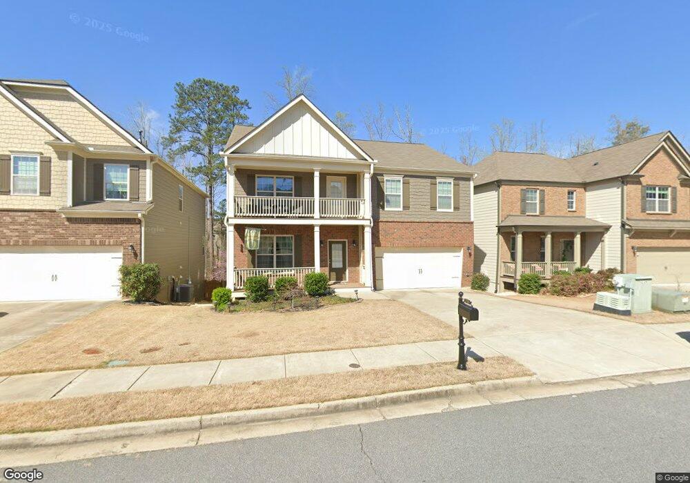
215 Shaw Dr Unit 211 Acworth, GA 30102
Oak Grove NeighborhoodEstimated Value: $467,049 - $500,000
4
Beds
3
Baths
2,696
Sq Ft
$179/Sq Ft
Est. Value
About This Home
This home is located at 215 Shaw Dr Unit 211, Acworth, GA 30102 and is currently estimated at $483,525, approximately $179 per square foot. 215 Shaw Dr Unit 211 is a home located in Cherokee County with nearby schools including E. T. Booth Middle School, Etowah High School, and Keystone Prep Academy.
Ownership History
Date
Name
Owned For
Owner Type
Purchase Details
Closed on
Sep 1, 2021
Sold by
Veal Adam S
Bought by
Veal Adam S and Vel Angela T
Current Estimated Value
Home Financials for this Owner
Home Financials are based on the most recent Mortgage that was taken out on this home.
Original Mortgage
$176,000
Outstanding Balance
$131,332
Interest Rate
2.7%
Mortgage Type
New Conventional
Estimated Equity
$352,193
Purchase Details
Closed on
Jul 20, 2017
Sold by
Veal Adam S
Bought by
Veal Adam S and Tan Ee Lin A
Purchase Details
Closed on
Oct 24, 2014
Sold by
Dr Horton Inc
Bought by
Veal Adam S
Home Financials for this Owner
Home Financials are based on the most recent Mortgage that was taken out on this home.
Original Mortgage
$228,934
Interest Rate
4.26%
Purchase Details
Closed on
Jun 13, 2013
Sold by
Fc Investment Partners Llc
Bought by
D R Horton Inc
Create a Home Valuation Report for This Property
The Home Valuation Report is an in-depth analysis detailing your home's value as well as a comparison with similar homes in the area
Home Values in the Area
Average Home Value in this Area
Purchase History
| Date | Buyer | Sale Price | Title Company |
|---|---|---|---|
| Veal Adam S | -- | -- | |
| Veal Adam S | -- | -- | |
| Veal Adam S | $254,371 | -- | |
| D R Horton Inc | $70,000 | -- |
Source: Public Records
Mortgage History
| Date | Status | Borrower | Loan Amount |
|---|---|---|---|
| Open | Veal Adam S | $176,000 | |
| Previous Owner | Veal Adam S | $228,934 |
Source: Public Records
Tax History Compared to Growth
Tax History
| Year | Tax Paid | Tax Assessment Tax Assessment Total Assessment is a certain percentage of the fair market value that is determined by local assessors to be the total taxable value of land and additions on the property. | Land | Improvement |
|---|---|---|---|---|
| 2025 | $5,504 | $209,600 | $36,000 | $173,600 |
| 2024 | $4,735 | $182,200 | $34,000 | $148,200 |
| 2023 | $5,019 | $193,120 | $34,000 | $159,120 |
| 2022 | $4,460 | $169,680 | $30,000 | $139,680 |
| 2021 | $3,963 | $139,600 | $20,000 | $119,600 |
| 2020 | $3,642 | $128,160 | $20,000 | $108,160 |
| 2019 | $3,396 | $119,520 | $20,000 | $99,520 |
| 2018 | $3,243 | $113,440 | $17,600 | $95,840 |
| 2017 | $3,215 | $279,000 | $19,200 | $92,400 |
| 2016 | $3,144 | $270,000 | $19,200 | $88,800 |
| 2015 | $2,973 | $252,800 | $19,200 | $81,920 |
| 2014 | $144 | $12,200 | $4,880 | $0 |
Source: Public Records
Map
Nearby Homes
- 314 Vermillion St
- 344 Colsen Dr
- 340 Colsen Dr
- 336 Colsen Dr
- 332 Colsen Dr
- 328 Colsen Dr
- 432 Carrera Ln
- 435 Carrera Ln
- 325 Colsen Dr
- 440 Carrera Ln
- 320 Liberty Dr
- 337 Liberty Dr
- Bolton Plan at Cherokee Township
- Brooks Plan at Cherokee Township
- Bryson Plan at Cherokee Township
- 5706 Forest Place
- 334 Liberty Dr
- 2899 Emerald Ln
- 1981 American Way Unit 28
- 1983 American Way Unit 27