215 Ship Island Rd SW Plainville, GA 30733
Estimated Value: $390,000 - $919,000
3
Beds
1
Bath
1,668
Sq Ft
$424/Sq Ft
Est. Value
About This Home
This home is located at 215 Ship Island Rd SW, Plainville, GA 30733 and is currently estimated at $707,874, approximately $424 per square foot. 215 Ship Island Rd SW is a home located in Gordon County with nearby schools including Swain Elementary School, Ashworth Middle School, and Gordon Central High School.
Ownership History
Date
Name
Owned For
Owner Type
Purchase Details
Closed on
Aug 18, 2015
Sold by
Ayer Charles Henry
Bought by
Sirmans John Matthew
Current Estimated Value
Home Financials for this Owner
Home Financials are based on the most recent Mortgage that was taken out on this home.
Original Mortgage
$300,800
Outstanding Balance
$119,460
Interest Rate
4.09%
Mortgage Type
New Conventional
Estimated Equity
$588,414
Create a Home Valuation Report for This Property
The Home Valuation Report is an in-depth analysis detailing your home's value as well as a comparison with similar homes in the area
Home Values in the Area
Average Home Value in this Area
Purchase History
| Date | Buyer | Sale Price | Title Company |
|---|---|---|---|
| Sirmans John Matthew | $416,500 | -- |
Source: Public Records
Mortgage History
| Date | Status | Borrower | Loan Amount |
|---|---|---|---|
| Open | Sirmans John Matthew | $300,800 |
Source: Public Records
Tax History Compared to Growth
Tax History
| Year | Tax Paid | Tax Assessment Tax Assessment Total Assessment is a certain percentage of the fair market value that is determined by local assessors to be the total taxable value of land and additions on the property. | Land | Improvement |
|---|---|---|---|---|
| 2024 | $4,177 | $233,240 | $117,080 | $116,160 |
| 2023 | $3,964 | $226,440 | $117,080 | $109,360 |
| 2022 | $4,008 | $220,360 | $117,080 | $103,280 |
| 2021 | $3,524 | $194,120 | $111,800 | $82,320 |
| 2020 | $3,591 | $195,120 | $111,800 | $83,320 |
| 2019 | $3,347 | $187,280 | $111,800 | $75,480 |
| 2018 | $3,138 | $176,240 | $106,480 | $69,760 |
| 2017 | $2,627 | $156,040 | $106,480 | $49,560 |
| 2016 | $3,283 | $125,240 | $106,480 | $18,760 |
| 2015 | $413 | $134,120 | $115,280 | $18,840 |
| 2014 | $399 | $133,401 | $115,289 | $18,112 |
Source: Public Records
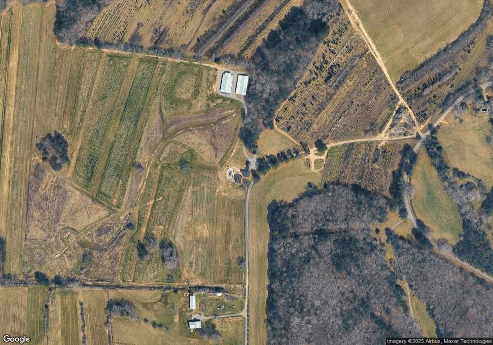
Map
Nearby Homes
- 4569 Old Dalton Rd NE
- 5452 Old Dalton Rd NE
- 334 Armuchee Trail NE
- 405 Hiram Rd NE
- 1863 New Rosedale Rd NE
- 1434 Culpepper Rd NE
- 282 Turner Rd NE
- 0 Autry Rd SW Unit 414481
- 0 Autry Rd SW Unit 7549643
- 0 Autry Rd SW Unit 23053843
- 0 Autry Rd SW Unit 10489984
- 0 Turkey Mountain Rd NE Unit 10631876
- 0 Turkey Mountain Rd NE Unit 7669730
- 311 Herring Rd NE
- 1035 Turkey Mountain Rd NE
- 1465 Turner Rd NE
- 0 Marlene Dr NE Unit 10656253
- 0 Marlene Dr NE Unit 7690328
- 201 Kellett Rd NE
- 1500 Moores Ferry Rd SW
- 310 Ship Island Rd SW
- 2124 Riverbend Rd SW
- 2199 Riverbend Rd SW
- 2199 Riverbend Rd SW
- 309 Ship Island Rd SW
- 2300 Riverbend Rd SW
- 2001 Riverbend Rd SW
- 4662 Old Dalton Rd NE
- 2346 Riverbend Rd SW
- 4718 Old Dalton Rd NE
- 4752 Old Dalton Rd NE
- 4660 Old Dalton Rd NE
- 4776 Old Dalton Rd NE
- 1861 Riverbend Rd SW
- 1861 Riverbend Rd SW
- 4806 Old Dalton Rd NE
- 4880 Old Dalton Rd NE
- 1932 Riverbend Rd SW
- 4786 Old Dalton Rd NE
- 2390 Riverbend Rd SW