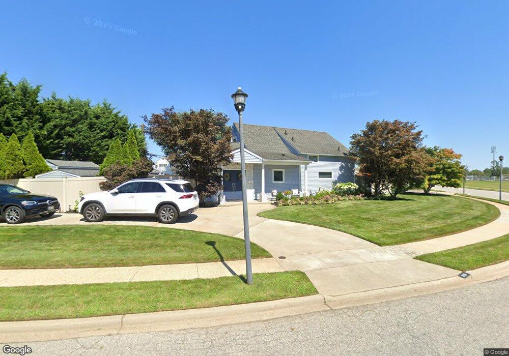
215 Sprucewood Dr Levittown, NY 11756
Estimated Value: $781,000 - $804,248
3
Beds
3
Baths
1,914
Sq Ft
$414/Sq Ft
Est. Value
About This Home
This home is located at 215 Sprucewood Dr, Levittown, NY 11756 and is currently estimated at $792,624, approximately $414 per square foot. 215 Sprucewood Dr is a home located in Nassau County with nearby schools including Gardiners Avenue School, Jonas E. Salk Middle School, and Gen. Douglas MacArthur Senior High School.
Ownership History
Date
Name
Owned For
Owner Type
Purchase Details
Closed on
Mar 10, 2016
Sold by
Licciardo Edward and Albano Kenneth
Bought by
Agrusa Frank
Current Estimated Value
Home Financials for this Owner
Home Financials are based on the most recent Mortgage that was taken out on this home.
Original Mortgage
$340,000
Outstanding Balance
$269,108
Interest Rate
3.65%
Mortgage Type
New Conventional
Estimated Equity
$523,516
Purchase Details
Closed on
Aug 4, 2005
Sold by
Licciardo John Joseph
Create a Home Valuation Report for This Property
The Home Valuation Report is an in-depth analysis detailing your home's value as well as a comparison with similar homes in the area
Home Values in the Area
Average Home Value in this Area
Purchase History
| Date | Buyer | Sale Price | Title Company |
|---|---|---|---|
| Agrusa Frank | $425,000 | New York Board Of Title | |
| -- | $200,000 | -- |
Source: Public Records
Mortgage History
| Date | Status | Borrower | Loan Amount |
|---|---|---|---|
| Open | Agrusa Frank | $340,000 |
Source: Public Records
Tax History Compared to Growth
Tax History
| Year | Tax Paid | Tax Assessment Tax Assessment Total Assessment is a certain percentage of the fair market value that is determined by local assessors to be the total taxable value of land and additions on the property. | Land | Improvement |
|---|---|---|---|---|
| 2025 | $16,890 | $524 | $285 | $239 |
| 2024 | $4,179 | $538 | $292 | $246 |
| 2023 | $16,608 | $550 | $299 | $251 |
| 2022 | $16,608 | $550 | $299 | $251 |
| 2021 | $22,652 | $536 | $291 | $245 |
| 2020 | $16,562 | $764 | $450 | $314 |
| 2019 | $15,896 | $706 | $503 | $203 |
| 2018 | $14,070 | $706 | $0 | $0 |
| 2017 | $7,674 | $706 | $503 | $203 |
| 2016 | $11,090 | $706 | $503 | $203 |
| 2015 | $3,126 | $706 | $503 | $203 |
| 2014 | $3,126 | $706 | $503 | $203 |
| 2013 | $2,865 | $706 | $503 | $203 |
Source: Public Records
Map
Nearby Homes
- 201 Sprucewood Dr
- 39 Stirrup Ln
- 59 Springtime Ln S
- 267 Sprucewood Dr
- 685 Gardiners Ave
- 693 Wantagh Ave
- 146 Springtime Ln W
- 244 Water Ln S
- 341 Red Maple Dr S
- 181 Springtime Ln N
- 126 Swan Ln
- 88 Anchor Ln
- 19 Wayside Ln
- 3651 Woodbridge Ln N
- 63 Anchor Ln
- 37 Star Ln
- 3641 Sarah Dr
- 25 Red Maple Dr N
- 17 Club Ln
- 15 Western Ln
- 225 Sprucewood Dr
- 72 Stirrup Ln
- 76 Stirrup Ln
- 80 Stirrup Ln
- 229 Sprucewood Dr
- 220 Sprucewood Dr
- 212 Sprucewood Dr
- 214 Sprucewood Dr
- 82 Stirrup Ln
- 218 Sprucewood Dr
- 208 Sprucewood Dr
- 233 Sprucewood Dr
- 86 Stirrup Ln
- 75 Stirrup Ln
- 5 Flint Ln
- 235 Sprucewood Dr
- 9 Flint Ln
- 79 Stirrup Ln
- 1 Flint Ln
- 81 Stirrup Ln