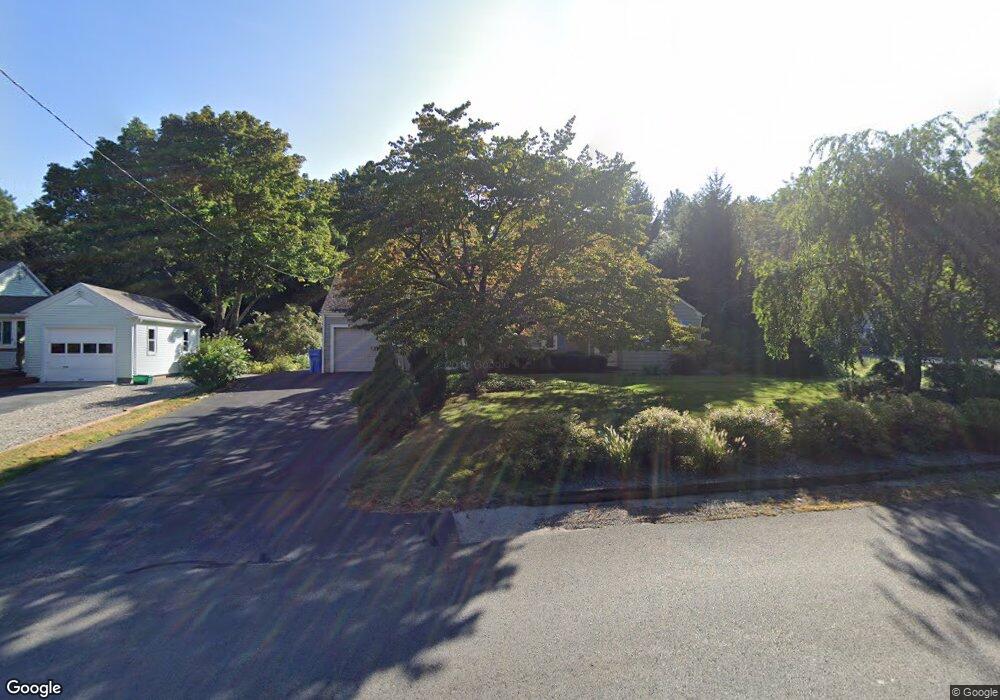
215 Taunton St Wrentham, MA 02093
Estimated Value: $569,880 - $694,000
3
Beds
1
Bath
1,248
Sq Ft
$491/Sq Ft
Est. Value
About This Home
This home is located at 215 Taunton St, Wrentham, MA 02093 and is currently estimated at $612,720, approximately $490 per square foot. 215 Taunton St is a home located in Norfolk County with nearby schools including Delaney Elementary School, Charles E Roderick, and Cadence Academy Preschool - North Attleborough.
Ownership History
Date
Name
Owned For
Owner Type
Purchase Details
Closed on
Nov 24, 2014
Sold by
Pfuhl Mary L
Bought by
Mary L Pfuhl Ret
Current Estimated Value
Purchase Details
Closed on
Aug 5, 1991
Sold by
Lucier Paul J and Lucier Carol A
Bought by
Pfuhl Mary T
Home Financials for this Owner
Home Financials are based on the most recent Mortgage that was taken out on this home.
Original Mortgage
$72,900
Interest Rate
9.58%
Mortgage Type
Purchase Money Mortgage
Create a Home Valuation Report for This Property
The Home Valuation Report is an in-depth analysis detailing your home's value as well as a comparison with similar homes in the area
Home Values in the Area
Average Home Value in this Area
Purchase History
| Date | Buyer | Sale Price | Title Company |
|---|---|---|---|
| Mary L Pfuhl Ret | -- | -- | |
| Pfuhl Mary T | $152,900 | -- |
Source: Public Records
Mortgage History
| Date | Status | Borrower | Loan Amount |
|---|---|---|---|
| Previous Owner | Pfuhl Mary T | $74,000 | |
| Previous Owner | Pfuhl Mary T | $72,900 |
Source: Public Records
Tax History Compared to Growth
Tax History
| Year | Tax Paid | Tax Assessment Tax Assessment Total Assessment is a certain percentage of the fair market value that is determined by local assessors to be the total taxable value of land and additions on the property. | Land | Improvement |
|---|---|---|---|---|
| 2025 | $5,564 | $480,100 | $251,100 | $229,000 |
| 2024 | $5,138 | $428,200 | $251,100 | $177,100 |
| 2023 | $4,876 | $386,400 | $228,200 | $158,200 |
| 2022 | $4,824 | $352,900 | $205,400 | $147,500 |
| 2021 | $4,556 | $323,800 | $183,400 | $140,400 |
| 2020 | $4,309 | $302,400 | $167,400 | $135,000 |
| 2019 | $4,023 | $284,900 | $152,200 | $132,700 |
| 2018 | $3,359 | $235,900 | $152,200 | $83,700 |
| 2017 | $3,216 | $225,700 | $149,200 | $76,500 |
| 2016 | $3,163 | $221,500 | $144,900 | $76,600 |
| 2015 | $3,096 | $206,700 | $139,300 | $67,400 |
| 2014 | $3,085 | $201,500 | $134,000 | $67,500 |
Source: Public Records
Map
Nearby Homes
- 319 Taunton St
- 10 Nature View Dr
- 15 Nature View Dr
- 155 Clark Rd Unit 155
- 11 Earle Stewart Ln
- Lot 1 - Blueberry 2 Car Plan at King Philip Estates
- Lot 8 - Blueberry 2 Car Plan at King Philip Estates
- Lot 5 - Hughes 2 car Plan at King Philip Estates
- Lot 6 - Blueberry 3 Car Plan at King Philip Estates
- Lot 2 - Camden 2 Car Plan at King Philip Estates
- Lot 7 - Cedar Plan at King Philip Estates
- Lot 4 - Hemingway 2 Car Plan at King Philip Estates
- Lot 3 - Blueberry 2 Car Plan at King Philip Estates
- Lot 3 - 14 Earle Stewart Ln
- 131 Creek St Unit 7
- 362 East St
- 1 Lorraine Metcalf Dr
- 270 Dedham St
- 120 Hawes St
- 791 South St Unit 5
- 209 Taunton St
- 221 Taunton St
- 197 Taunton St
- 227 Taunton St
- 220 Taunton St
- 5 Redbird Rd
- 224 Taunton St Unit 224
- 224 Taunton St Unit 1
- 224 Taunton St
- 224 Taunton St
- 226 Taunton St
- 235 Taunton St
- 13 Redbird Rd
- 6 Redbird Rd
- 239 Taunton St
- 183 Taunton St
- 140 Tilting Rock Rd
- 177 Taunton St
- 236 Taunton St
- 14 Redbird Rd