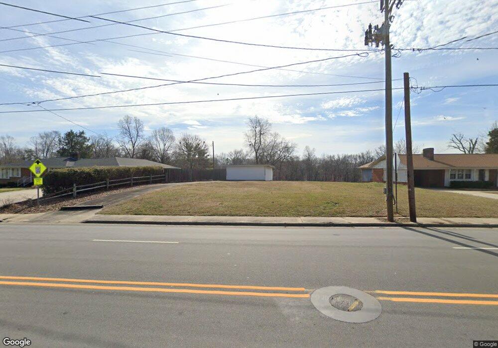
215 Unity St Thomasville, NC 27360
Estimated Value: $137,000 - $144,787
2
Beds
1
Bath
1,028
Sq Ft
$137/Sq Ft
Est. Value
About This Home
This home is located at 215 Unity St, Thomasville, NC 27360 and is currently estimated at $140,894, approximately $137 per square foot. 215 Unity St is a home located in Davidson County with nearby schools including Thomasville Primary School, Liberty Drive Elementary School, and Thomasville Middle School.
Ownership History
Date
Name
Owned For
Owner Type
Purchase Details
Closed on
Jul 3, 2017
Sold by
Potts Melvin R
Bought by
Shuler Properties Llc
Current Estimated Value
Purchase Details
Closed on
Apr 24, 2008
Sold by
Mcnabb Trena J and Mcnabb Charles T
Bought by
Potts Melvin R
Home Financials for this Owner
Home Financials are based on the most recent Mortgage that was taken out on this home.
Original Mortgage
$74,312
Interest Rate
6.08%
Mortgage Type
FHA
Purchase Details
Closed on
Aug 9, 2007
Sold by
Mcnabb Trena J and Mcnabb Charles T
Bought by
Gailey Mary W
Purchase Details
Closed on
Feb 1, 1998
Create a Home Valuation Report for This Property
The Home Valuation Report is an in-depth analysis detailing your home's value as well as a comparison with similar homes in the area
Home Values in the Area
Average Home Value in this Area
Purchase History
| Date | Buyer | Sale Price | Title Company |
|---|---|---|---|
| Shuler Properties Llc | $28,500 | None Available | |
| Potts Melvin R | -- | None Available | |
| Potts Melvin R | $75,000 | None Available | |
| Gailey Mary W | -- | None Available | |
| -- | -- | -- |
Source: Public Records
Mortgage History
| Date | Status | Borrower | Loan Amount |
|---|---|---|---|
| Previous Owner | Potts Melvin R | $74,312 |
Source: Public Records
Tax History
| Year | Tax Paid | Tax Assessment Tax Assessment Total Assessment is a certain percentage of the fair market value that is determined by local assessors to be the total taxable value of land and additions on the property. | Land | Improvement |
|---|---|---|---|---|
| 2025 | $385 | $28,880 | $0 | $0 |
| 2024 | $385 | $28,880 | $0 | $0 |
| 2023 | $385 | $28,880 | $0 | $0 |
| 2022 | $385 | $28,880 | $0 | $0 |
| 2021 | $387 | $28,880 | $0 | $0 |
| 2020 | $338 | $25,680 | $0 | $0 |
| 2019 | $1,002 | $74,760 | $0 | $0 |
| 2018 | $344 | $25,680 | $0 | $0 |
| 2017 | $987 | $74,760 | $0 | $0 |
| 2016 | $957 | $74,760 | $0 | $0 |
| 2015 | $957 | $74,760 | $0 | $0 |
| 2014 | $956 | $74,680 | $0 | $0 |
Source: Public Records
Map
Nearby Homes
- 23 Thomasville High Dr
- 312 Culbreth Ave
- 408 Reid St
- 606 Unity St
- 615 Midland Ave
- 18 Candlestick Dr
- 301 Brown St
- 11 Collin Ln
- 304 Phillips St
- 200 Salem St
- 6 Forsyth St
- 115 Circle Dr
- 113 Circle Dr
- 106 College St
- 833 Bowerwood Dr
- 107 College St
- 911 Franklin St
- 109 Circle Dr
- 204 Rockspring Dr
- 909 Franklin St
Your Personal Tour Guide
Ask me questions while you tour the home.