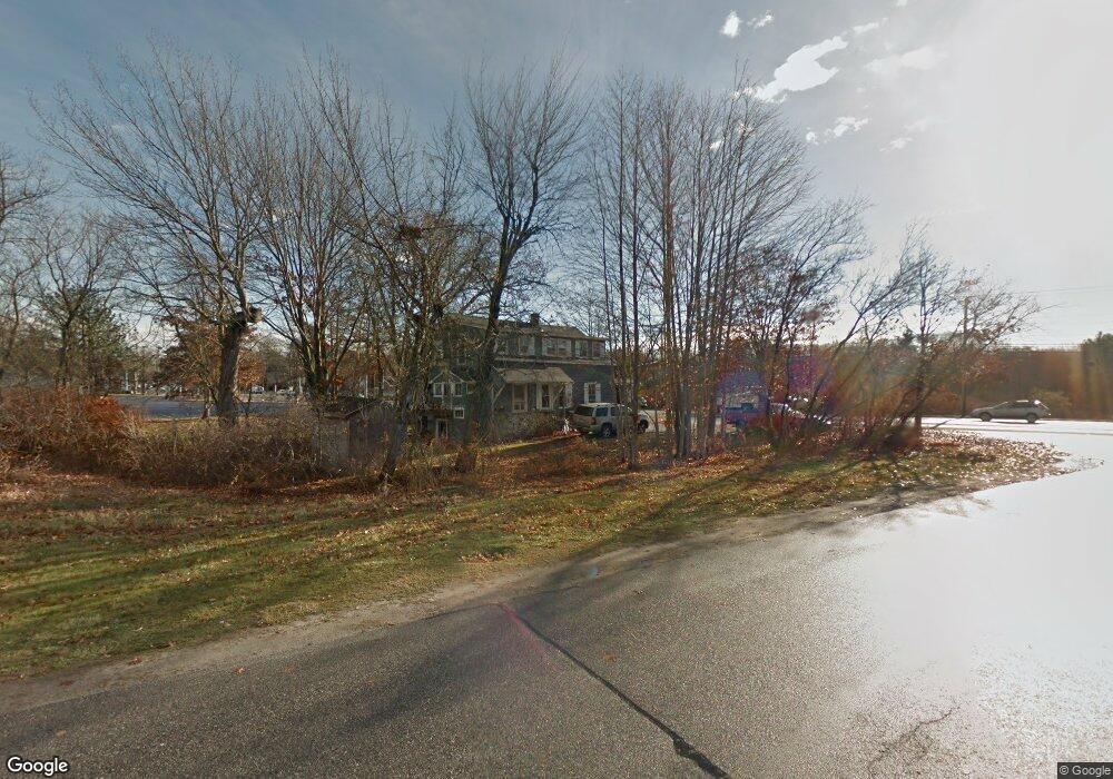
215 Us Route 1 Scarborough, ME 04074
Estimated Value: $440,872 - $579,000
4
Beds
2
Baths
1,615
Sq Ft
$319/Sq Ft
Est. Value
About This Home
This home is located at 215 Us Route 1, Scarborough, ME 04074 and is currently estimated at $515,968, approximately $319 per square foot. 215 Us Route 1 is a home with nearby schools including Scarborough High School and Cornerstone Baptist Academy.
Ownership History
Date
Name
Owned For
Owner Type
Purchase Details
Closed on
Oct 31, 2013
Sold by
Conroy Monique T and Skillings Gary S
Bought by
Foleys Ice Cream Inc
Current Estimated Value
Home Financials for this Owner
Home Financials are based on the most recent Mortgage that was taken out on this home.
Original Mortgage
$190,000
Outstanding Balance
$143,307
Interest Rate
4.52%
Mortgage Type
Commercial
Estimated Equity
$372,662
Create a Home Valuation Report for This Property
The Home Valuation Report is an in-depth analysis detailing your home's value as well as a comparison with similar homes in the area
Home Values in the Area
Average Home Value in this Area
Purchase History
| Date | Buyer | Sale Price | Title Company |
|---|---|---|---|
| Foleys Ice Cream Inc | -- | -- |
Source: Public Records
Mortgage History
| Date | Status | Borrower | Loan Amount |
|---|---|---|---|
| Open | Foleys Ice Cream Inc | $190,000 |
Source: Public Records
Tax History Compared to Growth
Tax History
| Year | Tax Paid | Tax Assessment Tax Assessment Total Assessment is a certain percentage of the fair market value that is determined by local assessors to be the total taxable value of land and additions on the property. | Land | Improvement |
|---|---|---|---|---|
| 2024 | $3,338 | $305,400 | $210,000 | $95,400 |
| 2023 | $3,030 | $189,700 | $86,400 | $103,300 |
| 2022 | $2,919 | $189,700 | $86,400 | $103,300 |
| 2021 | $2,849 | $189,700 | $86,400 | $103,300 |
| 2020 | $2,819 | $189,700 | $86,400 | $103,300 |
| 2019 | $2,789 | $189,700 | $86,400 | $103,300 |
| 2017 | $3,620 | $219,500 | $109,000 | $110,500 |
| 2016 | $3,494 | $219,500 | $109,000 | $110,500 |
| 2015 | $3,400 | $219,500 | $109,000 | $110,500 |
| 2014 | $3,314 | $219,500 | $109,000 | $110,500 |
| 2013 | $3,242 | $219,500 | $109,000 | $110,500 |
Source: Public Records
Map
Nearby Homes
- 30 Stratton Rd Unit 30
- 1 Stratton Rd Unit 1
- 11 Westwood Ave
- 1 Teal Point Dr Unit 1
- 14 Herbert Dr
- 5 Traditional St
- 11 Vista Dr
- 8 Ballantyne Dr
- 14 Oakdale Dr Unit 14
- 19 Millbrook Rd
- 73 Maple Ave
- 228 Deerwood St
- 2 Owens Way
- 18 Millbrook Rd
- 14 Holbrook Farms Way Unit 1
- 245 Deerwood St
- 24 Bayberry Ln
- 9 Evergreen Farms Rd
- 10 Leighton Farm Rd
- 46 Pacer Way
- 581 U S 1
- 22 Oak Hill Terrace Unit 4-E
- 1A Wilfork Way
- 31 Gorham Rd
- 15 Plaza Dr
- 1 Gorham Rd
- 0 Gorham Rd
- 23 Stratton Rd Unit 23
- 22 Stratton Rd
- 24 Stratton Rd
- 32 Stratton Rd
- 28 Stratton Rd Unit 28
- 27 Stratton Rd Unit 27
- 40 Hannaford Dr
- 34 Stratton Rd Unit 36
- 34 Stratton Rd Unit 34
- 35 Stratton Rd Unit 35
- 21 Stratton Rd
- 20 Stratton Rd Unit 20
- 19 Stratton Rd Unit 19