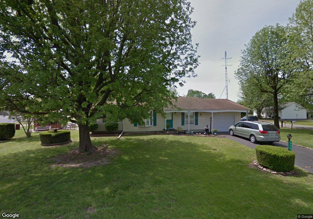
215 W 6th St Du Quoin, IL 62832
Estimated Value: $86,000 - $125,000
--
Bed
--
Bath
980
Sq Ft
$104/Sq Ft
Est. Value
About This Home
This home is located at 215 W 6th St, Du Quoin, IL 62832 and is currently estimated at $101,758, approximately $103 per square foot. 215 W 6th St is a home located in Perry County with nearby schools including DuQuoin High School, DuQuoin Elementary School, and DuQuoin Middle School.
Ownership History
Date
Name
Owned For
Owner Type
Purchase Details
Closed on
Oct 22, 2014
Sold by
Purcell George M
Bought by
Purcell George M and Purcell Darrie L
Current Estimated Value
Home Financials for this Owner
Home Financials are based on the most recent Mortgage that was taken out on this home.
Original Mortgage
$41,000
Outstanding Balance
$22,546
Interest Rate
3.87%
Mortgage Type
New Conventional
Estimated Equity
$79,212
Purchase Details
Closed on
Oct 11, 2006
Sold by
Purcell Nobue
Bought by
Raines Sherry L
Create a Home Valuation Report for This Property
The Home Valuation Report is an in-depth analysis detailing your home's value as well as a comparison with similar homes in the area
Home Values in the Area
Average Home Value in this Area
Purchase History
| Date | Buyer | Sale Price | Title Company |
|---|---|---|---|
| Purcell George M | -- | None Available | |
| Purcell George M | $40,000 | None Available | |
| Raines Sherry L | -- | None Available |
Source: Public Records
Mortgage History
| Date | Status | Borrower | Loan Amount |
|---|---|---|---|
| Open | Purcell George M | $41,000 |
Source: Public Records
Tax History Compared to Growth
Tax History
| Year | Tax Paid | Tax Assessment Tax Assessment Total Assessment is a certain percentage of the fair market value that is determined by local assessors to be the total taxable value of land and additions on the property. | Land | Improvement |
|---|---|---|---|---|
| 2023 | $1,443 | $29,854 | $4,091 | $25,763 |
| 2022 | $1,815 | $31,936 | $8,938 | $22,998 |
| 2021 | $1,783 | $29,953 | $8,383 | $21,570 |
| 2020 | $1,790 | $27,716 | $7,757 | $19,959 |
| 2019 | $1,770 | $26,909 | $7,531 | $19,378 |
| 2018 | $1,771 | $26,909 | $7,531 | $19,378 |
| 2017 | $1,782 | $27,006 | $7,558 | $19,448 |
| 2016 | $1,756 | $26,410 | $7,392 | $19,018 |
| 2015 | $1,756 | $26,410 | $7,392 | $19,018 |
| 2013 | $441 | $25,914 | $7,253 | $18,661 |
Source: Public Records
Map
Nearby Homes
- 734 N Division St
- 401 N Division St Unit A & B
- 821 Bluebell Rd
- 439 N Howard St
- 418 E Keyes St
- 402 E Keyes St
- 508 Hidden Lakes Dr
- 107 N Division St
- 13 N Division St
- 12 N Division St
- 7655 Hardscrabble Rd
- 6 S Division St
- 419 W Main St
- 507 W Main St
- 315 E Main St
- 115 S Hickory St
- 20 S Peach St
- 540 E Main St
- 544 E Main St
- 535 E Main St
- 1235 N Hickory St
- 301 Shagbark Rd
- 203 W 6th St
- 1201 N Hickory St
- 106 W 6th St
- 1139 N Hickory St
- 1148 N Walnut St
- 1131 N Hickory St
- 1120 N Hickory St
- 1134 N Walnut St
- 300 Shagbark Rd
- 1111 N Hickory St
- 2135 Us Route 51
- 1105 N Walnut St
- 2111 Us Route 51
- 1204 N Oak St
- 1202 N Oak St
- 1049 N Hickory St
- 1236 N Oak St
- 205 Thorwell St