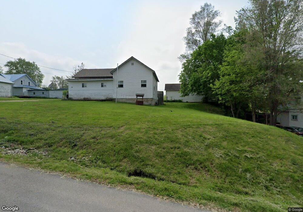
215 W Main St Browntown, WI 53522
Estimated Value: $45,000 - $204,000
--
Bed
--
Bath
--
Sq Ft
7,710
Sq Ft Lot
About This Home
This home is located at 215 W Main St, Browntown, WI 53522 and is currently estimated at $114,388. 215 W Main St is a home.
Ownership History
Date
Name
Owned For
Owner Type
Purchase Details
Closed on
Feb 26, 2021
Sold by
Hill June A and Schwitz June A
Bought by
Meyer Craig J and Meyer Mandy J
Current Estimated Value
Home Financials for this Owner
Home Financials are based on the most recent Mortgage that was taken out on this home.
Original Mortgage
$30,000
Outstanding Balance
$26,893
Interest Rate
2.7%
Mortgage Type
Credit Line Revolving
Estimated Equity
$87,495
Purchase Details
Closed on
Oct 14, 2011
Sold by
Hill David E and Hill June A
Bought by
Hill June A
Create a Home Valuation Report for This Property
The Home Valuation Report is an in-depth analysis detailing your home's value as well as a comparison with similar homes in the area
Home Values in the Area
Average Home Value in this Area
Purchase History
| Date | Buyer | Sale Price | Title Company |
|---|---|---|---|
| Meyer Craig J | $24,400 | None Available | |
| Hill June A | -- | -- |
Source: Public Records
Mortgage History
| Date | Status | Borrower | Loan Amount |
|---|---|---|---|
| Open | Meyer Craig J | $30,000 |
Source: Public Records
Tax History Compared to Growth
Tax History
| Year | Tax Paid | Tax Assessment Tax Assessment Total Assessment is a certain percentage of the fair market value that is determined by local assessors to be the total taxable value of land and additions on the property. | Land | Improvement |
|---|---|---|---|---|
| 2024 | $815 | $57,500 | $7,300 | $50,200 |
| 2023 | $963 | $57,500 | $7,300 | $50,200 |
| 2022 | $913 | $42,900 | $5,400 | $37,500 |
| 2021 | $631 | $42,900 | $5,400 | $37,500 |
| 2020 | $672 | $42,900 | $5,400 | $37,500 |
| 2019 | $535 | $42,900 | $5,400 | $37,500 |
| 2018 | $666 | $40,000 | $5,400 | $34,600 |
| 2017 | $727 | $40,000 | $5,400 | $34,600 |
| 2016 | $707 | $40,000 | $5,400 | $34,600 |
| 2014 | $592 | $40,000 | $5,400 | $34,600 |
Source: Public Records
Map
Nearby Homes
- 113 S Liberty St
- 360 S Church St
- 000 County Highway M
- W8192 Pilz Rd
- W8194 Pilz Rd
- N2090 Allen Rd
- N2202 Cadiz Springs Rd
- TBD Miller Rd
- Lot 3 Rd
- 139.57 AC County Road M
- 000 County Road M
- W7880 Wisconsin 11
- 7841 W Hwy County M
- TBD E County M
- 301 S Galena St
- N2451 Ullom Rd Unit 20
- 5855 Swanson Rd
- W6579 Karric Ln
- W6556 Platinum Dr
- 619 Bridge St