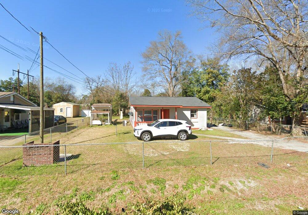
215 Wendan Way Warner Robins, GA 31093
Estimated Value: $93,000 - $115,000
--
Bed
1
Bath
932
Sq Ft
$112/Sq Ft
Est. Value
About This Home
This home is located at 215 Wendan Way, Warner Robins, GA 31093 and is currently estimated at $104,150, approximately $111 per square foot. 215 Wendan Way is a home located in Houston County with nearby schools including Westside Elementary School, Northside Middle School, and Northside High School.
Ownership History
Date
Name
Owned For
Owner Type
Purchase Details
Closed on
Jan 15, 2008
Sold by
Mcdougall Joanna and Mcdougall Joanna Thomas
Bought by
Betty Winchester Enterprises Llc
Current Estimated Value
Purchase Details
Closed on
Dec 15, 2006
Sold by
Mullin Johnson Iii Wilbert L and Mullin Johnson Marilyn
Bought by
Mcdougall Joanna
Home Financials for this Owner
Home Financials are based on the most recent Mortgage that was taken out on this home.
Original Mortgage
$45,000
Interest Rate
8%
Mortgage Type
Adjustable Rate Mortgage/ARM
Purchase Details
Closed on
Nov 17, 1992
Bought by
Johnson Wilbert L
Create a Home Valuation Report for This Property
The Home Valuation Report is an in-depth analysis detailing your home's value as well as a comparison with similar homes in the area
Home Values in the Area
Average Home Value in this Area
Purchase History
| Date | Buyer | Sale Price | Title Company |
|---|---|---|---|
| Betty Winchester Enterprises Llc | -- | None Available | |
| Mcdougall Joanna | $50,000 | None Available | |
| Johnson Wilbert L | $26,000 | -- |
Source: Public Records
Mortgage History
| Date | Status | Borrower | Loan Amount |
|---|---|---|---|
| Previous Owner | Mcdougall Joanna | $45,000 |
Source: Public Records
Tax History Compared to Growth
Tax History
| Year | Tax Paid | Tax Assessment Tax Assessment Total Assessment is a certain percentage of the fair market value that is determined by local assessors to be the total taxable value of land and additions on the property. | Land | Improvement |
|---|---|---|---|---|
| 2024 | $704 | $21,520 | $5,000 | $16,520 |
| 2023 | $530 | $16,080 | $2,360 | $13,720 |
| 2022 | $346 | $15,040 | $2,360 | $12,680 |
| 2021 | $303 | $13,120 | $2,360 | $10,760 |
| 2020 | $304 | $13,080 | $2,360 | $10,720 |
| 2019 | $304 | $13,080 | $2,360 | $10,720 |
| 2018 | $304 | $13,080 | $2,360 | $10,720 |
| 2017 | $304 | $13,080 | $2,360 | $10,720 |
| 2016 | $305 | $13,080 | $2,360 | $10,720 |
| 2015 | $0 | $13,080 | $2,360 | $10,720 |
| 2014 | -- | $13,080 | $2,360 | $10,720 |
| 2013 | -- | $13,080 | $2,360 | $10,720 |
Source: Public Records
Map
Nearby Homes
- 206 Sunstede Rd
- 423 Alabama Ave
- 427 Alabama Ave
- 101 Jacobs Ln
- 308 Camellia Cir
- 127 Edna Place
- 215 Camellia Cir
- 102 Camellia Cir
- 105 Angela Ave
- 99 Green St Unit 101 Green Street
- 434 Carolina Ave
- 714 Camellia Cir
- 122 Jay Dr
- 117 Forest Park Dr
- 303 Carroll Dr
- 113 Pearce Dr
- 212 Arnold Blvd
- 311 Arnold Blvd
- 212 Dunmurry Place
- 125 Anne Dr