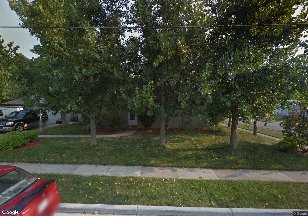
215 William St Watertown, WI 53094
Estimated Value: $187,656 - $262,000
--
Bed
--
Bath
--
Sq Ft
0.25
Acres
About This Home
This home is located at 215 William St, Watertown, WI 53094 and is currently estimated at $218,664. 215 William St is a home located in Jefferson County with nearby schools including Watertown High School, eCampus Academy Charter School, and Trinity-St. Luke's Lutheran Elementary School.
Ownership History
Date
Name
Owned For
Owner Type
Purchase Details
Closed on
Jun 28, 2022
Sold by
Paul Dickey
Bought by
Eric Grunewald
Current Estimated Value
Purchase Details
Closed on
Jun 13, 2022
Sold by
And Clarence A. Dickey and Dick Or Judith
Bought by
J. Dickey Paul
Purchase Details
Closed on
Oct 17, 2008
Sold by
Dickey Clarence A
Bought by
Decl Clarence A Dickey and Decl Judith V Dickey
Create a Home Valuation Report for This Property
The Home Valuation Report is an in-depth analysis detailing your home's value as well as a comparison with similar homes in the area
Home Values in the Area
Average Home Value in this Area
Purchase History
| Date | Buyer | Sale Price | Title Company |
|---|---|---|---|
| Eric Grunewald | $145,000 | Bender, Larson, Chidley, Koppe | |
| J. Dickey Paul | $140,000 | Bender, Larson, Chidley, Koppe | |
| Decl Clarence A Dickey | -- | None Available |
Source: Public Records
Tax History Compared to Growth
Tax History
| Year | Tax Paid | Tax Assessment Tax Assessment Total Assessment is a certain percentage of the fair market value that is determined by local assessors to be the total taxable value of land and additions on the property. | Land | Improvement |
|---|---|---|---|---|
| 2024 | $2,374 | $160,800 | $51,500 | $109,300 |
| 2023 | $2,932 | $166,300 | $45,500 | $120,800 |
| 2022 | $2,944 | $166,300 | $45,500 | $120,800 |
| 2021 | $2,808 | $110,600 | $26,000 | $84,600 |
| 2020 | $2,777 | $110,600 | $26,000 | $84,600 |
| 2019 | $2,712 | $110,600 | $26,000 | $84,600 |
| 2018 | $2,485 | $110,600 | $26,000 | $84,600 |
| 2017 | $2,399 | $110,600 | $26,000 | $84,600 |
| 2016 | $2,360 | $110,600 | $26,000 | $84,600 |
| 2015 | $2,444 | $110,600 | $26,000 | $84,600 |
| 2014 | $3,466 | $110,600 | $26,000 | $84,600 |
| 2013 | $2,524 | $110,600 | $26,000 | $84,600 |
Source: Public Records
Map
Nearby Homes
- 1301 Utah St
- 1215 Utah St
- 1313 Utah St
- 1418 S 9th St
- 913 S 3rd St
- 1314 Waldron St
- 1330 S 10th St
- 901 S 8th St
- 908 Franklin St
- 131 Cedar Ct
- The Saybrook Plan at Rock River Ridge
- The Atwater Plan at Rock River Ridge
- The Hudson Plan at Rock River Ridge
- The Coral Plan at Rock River Ridge
- The Drake Plan at Rock River Ridge
- The Addison Plan at Rock River Ridge
- The Bradford Plan at Rock River Ridge
- The Catalina Plan at Rock River Ridge
- The Adrian Plan at Rock River Ridge
- The McKinley Plan at Rock River Ridge