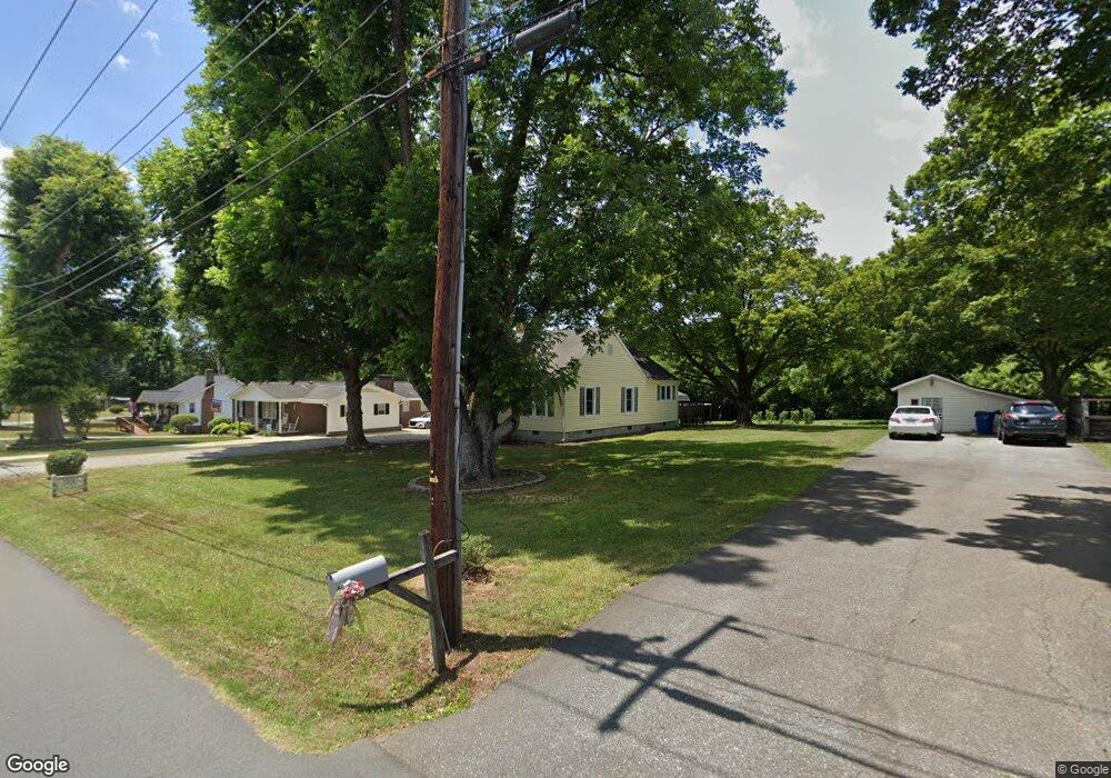
215 Wilson St Graham, NC 27253
Estimated Value: $204,000 - $219,000
2
Beds
1
Bath
1,052
Sq Ft
$200/Sq Ft
Est. Value
About This Home
This home is located at 215 Wilson St, Graham, NC 27253 and is currently estimated at $210,058, approximately $199 per square foot. 215 Wilson St is a home located in Alamance County with nearby schools including South Graham Elementary School, Graham Middle School, and Graham High School.
Ownership History
Date
Name
Owned For
Owner Type
Purchase Details
Closed on
Nov 13, 2020
Sold by
Banker Mary Ann and Mobley Benjamin K
Bought by
Bradshaw Mickey Lynn and Bradshaw Kimberly M
Current Estimated Value
Purchase Details
Closed on
May 11, 2016
Sold by
Benjamin K Mobley Revocable Trust
Bought by
Mobley Benjamin K
Purchase Details
Closed on
Oct 12, 2015
Sold by
Mobley Benjamin K and Mobley Cherry T
Bought by
Mobley Jr Trustee Benjamin K and Benjamin K Mobley Revocable Tr
Purchase Details
Closed on
May 1, 1990
Bought by
Mobley Cherry T and Mobley Benjamin J
Create a Home Valuation Report for This Property
The Home Valuation Report is an in-depth analysis detailing your home's value as well as a comparison with similar homes in the area
Home Values in the Area
Average Home Value in this Area
Purchase History
| Date | Buyer | Sale Price | Title Company |
|---|---|---|---|
| Bradshaw Mickey Lynn | $50,000 | None Available | |
| Mobley Benjamin K | -- | None Available | |
| Mobley Jr Trustee Benjamin K | -- | None Available | |
| Mobley Cherry T | -- | -- |
Source: Public Records
Tax History Compared to Growth
Tax History
| Year | Tax Paid | Tax Assessment Tax Assessment Total Assessment is a certain percentage of the fair market value that is determined by local assessors to be the total taxable value of land and additions on the property. | Land | Improvement |
|---|---|---|---|---|
| 2025 | $934 | $189,059 | $80,717 | $108,342 |
| 2024 | $887 | $189,059 | $80,717 | $108,342 |
| 2023 | $813 | $189,059 | $80,717 | $108,342 |
| 2022 | $953 | $86,523 | $37,126 | $49,397 |
| 2021 | $962 | $86,523 | $37,126 | $49,397 |
| 2020 | $970 | $86,523 | $37,126 | $49,397 |
| 2019 | $973 | $86,523 | $37,126 | $49,397 |
| 2018 | $0 | $86,523 | $37,126 | $49,397 |
| 2017 | $896 | $86,523 | $37,126 | $49,397 |
| 2016 | $937 | $90,530 | $37,126 | $53,404 |
| 2015 | -- | $90,530 | $37,126 | $53,404 |
| 2014 | -- | $90,530 | $37,126 | $53,404 |
Source: Public Records
Map
Nearby Homes
- 310 Wilson St
- 630 W Harden St
- 203 Home Ave
- 2517 Watt Dr
- 608 Poplar St
- 2129 Wrenn St
- 311 W Market St
- 416 Washington St
- 507 Oak St
- 1731 E Webb Ave
- 803 Buckner St
- 1321 Adler Cove Rd
- 1311 Adler Cove Rd
- 706 Maple Branch Cir
- 734 Maple Branch Cir
- 760 Maple Branch Cir
- 212 Moyer Dr
- 200 Moyer Dr
- 204 Moyer Dr
- 208 Moyer Dr