Estimated Value: $311,000 - $357,000
3
Beds
2
Baths
1,519
Sq Ft
$217/Sq Ft
Est. Value
About This Home
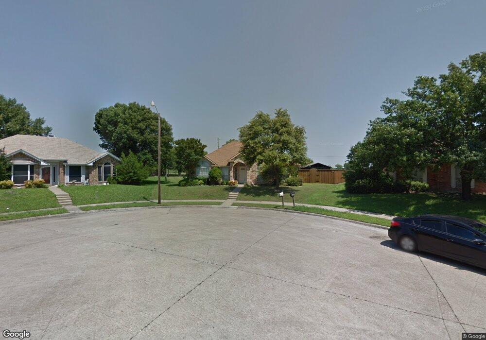
This home is located at 215 Yorkshire Ln, Wylie, TX 75098 and is currently estimated at $329,614, approximately $216 per square foot. 215 Yorkshire Ln is a home located in Collin County with nearby schools including P M Akin Elementary School, AB Harrison Intermediate School, and Grady Burnett J High School.
Ownership History
Date
Name
Owned For
Owner Type
Purchase Details
Closed on
Apr 9, 1999
Sold by
Gregg Landon Len and Gregg Dana
Bought by
Rigell Stephen and Rigell Sherry
Current Estimated Value
Home Financials for this Owner
Home Financials are based on the most recent Mortgage that was taken out on this home.
Original Mortgage
$102,847
Interest Rate
7.06%
Mortgage Type
FHA
Create a Home Valuation Report for This Property
The Home Valuation Report is an in-depth analysis detailing your home's value as well as a comparison with similar homes in the area
Home Values in the Area
Average Home Value in this Area
Purchase History
| Date | Buyer | Sale Price | Title Company |
|---|---|---|---|
| Rigell Stephen | -- | -- | |
| Gregg Landon Len | -- | -- |
Source: Public Records
Mortgage History
| Date | Status | Borrower | Loan Amount |
|---|---|---|---|
| Previous Owner | Rigell Stephen | $102,847 |
Source: Public Records
Tax History Compared to Growth
Tax History
| Year | Tax Paid | Tax Assessment Tax Assessment Total Assessment is a certain percentage of the fair market value that is determined by local assessors to be the total taxable value of land and additions on the property. | Land | Improvement |
|---|---|---|---|---|
| 2025 | $4,850 | $319,236 | $93,500 | $225,736 |
| 2024 | $4,850 | $311,029 | $93,500 | $254,086 |
| 2023 | $4,850 | $282,754 | $93,500 | $231,948 |
| 2022 | $5,639 | $257,049 | $77,000 | $212,650 |
| 2021 | $5,498 | $233,681 | $60,500 | $173,181 |
| 2020 | $5,719 | $230,324 | $49,500 | $180,824 |
| 2019 | $5,791 | $220,362 | $49,500 | $177,723 |
| 2018 | $5,395 | $200,329 | $49,500 | $178,178 |
| 2017 | $4,905 | $188,068 | $44,000 | $144,068 |
| 2016 | $4,600 | $179,254 | $33,000 | $146,254 |
| 2015 | $3,618 | $163,377 | $33,000 | $130,377 |
Source: Public Records
Map
Nearby Homes
- 1312 Wyndham Dr
- 1308 London Dr
- 107 Windy Knoll Ln
- 213 N West A Allen Blvd
- 1056 Fairview Dr
- 702 Lynda Ln
- 702 Ireland Way
- 700 Ireland Way
- 310 Hawthorn Dr
- 704 Ireland Way
- 304 Hawthorn Dr
- 207 Gatwick Ct
- 2801-3 N State Highway 78
- 2801-1 N State Highway 78
- 1209 Surrey Cir
- 1115 Nighthawk Dr
- 312 Maltese Cir
- 306 Foxwood Ct
- 209 Duck Blind Ave
- 409 Cedar Ridge Dr
- 213 Yorkshire Ln
- 1101 Sheppard Ln
- 1103 Sheppard Ln
- 211 Yorkshire Ln
- 1105 Sheppard Ln
- 209 Yorkshire Ln
- 1100 Sheppard Ln
- 1102 Sheppard Ln
- 1107 Sheppard Ln
- 1104 Sheppard Ln
- 207 Yorkshire Ln
- 1109 Sheppard Ln
- 1106 Sheppard Ln
- 1101 Old Knoll Dr
- 1103 Old Knoll Dr
- 205 Yorkshire Ln
- 1111 Sheppard Ln
- 1105 Old Knoll Dr
- 206 Windco Cir
- 1107 Old Knoll Dr