2150 13th St West Linn, OR 97068
Willamette NeighborhoodEstimated Value: $512,000 - $673,000
3
Beds
2
Baths
1,890
Sq Ft
$302/Sq Ft
Est. Value
About This Home
This home is located at 2150 13th St, West Linn, OR 97068 and is currently estimated at $571,297, approximately $302 per square foot. 2150 13th St is a home located in Clackamas County with nearby schools including Willamette Primary School, Athey Creek Middle School, and West Linn High School.
Ownership History
Date
Name
Owned For
Owner Type
Purchase Details
Closed on
Aug 21, 2014
Sold by
Sericko Resources Llc
Bought by
Engs Family Lone Pine Llc
Current Estimated Value
Purchase Details
Closed on
Dec 22, 1995
Sold by
Vignery Roberta T
Bought by
Vignery Seward Roberta T
Home Financials for this Owner
Home Financials are based on the most recent Mortgage that was taken out on this home.
Original Mortgage
$110,600
Interest Rate
7.37%
Mortgage Type
Purchase Money Mortgage
Create a Home Valuation Report for This Property
The Home Valuation Report is an in-depth analysis detailing your home's value as well as a comparison with similar homes in the area
Home Values in the Area
Average Home Value in this Area
Purchase History
| Date | Buyer | Sale Price | Title Company |
|---|---|---|---|
| Engs Family Lone Pine Llc | $225,000 | Wfg Title | |
| Vignery Seward Roberta T | -- | Fidelity National Title Co |
Source: Public Records
Mortgage History
| Date | Status | Borrower | Loan Amount |
|---|---|---|---|
| Previous Owner | Vignery Seward Roberta T | $110,600 |
Source: Public Records
Tax History Compared to Growth
Tax History
| Year | Tax Paid | Tax Assessment Tax Assessment Total Assessment is a certain percentage of the fair market value that is determined by local assessors to be the total taxable value of land and additions on the property. | Land | Improvement |
|---|---|---|---|---|
| 2025 | $4,737 | $245,784 | -- | -- |
| 2024 | $4,559 | $238,626 | -- | -- |
| 2023 | $4,559 | $231,676 | $0 | $0 |
| 2022 | $4,304 | $224,929 | $0 | $0 |
| 2021 | $4,085 | $218,378 | $0 | $0 |
| 2020 | $4,113 | $212,018 | $0 | $0 |
| 2019 | $3,922 | $205,843 | $0 | $0 |
| 2018 | $3,747 | $199,848 | $0 | $0 |
| 2017 | $3,602 | $194,027 | $0 | $0 |
| 2016 | $3,509 | $188,376 | $0 | $0 |
| 2015 | $3,270 | $182,889 | $0 | $0 |
| 2014 | $3,113 | $177,562 | $0 | $0 |
Source: Public Records
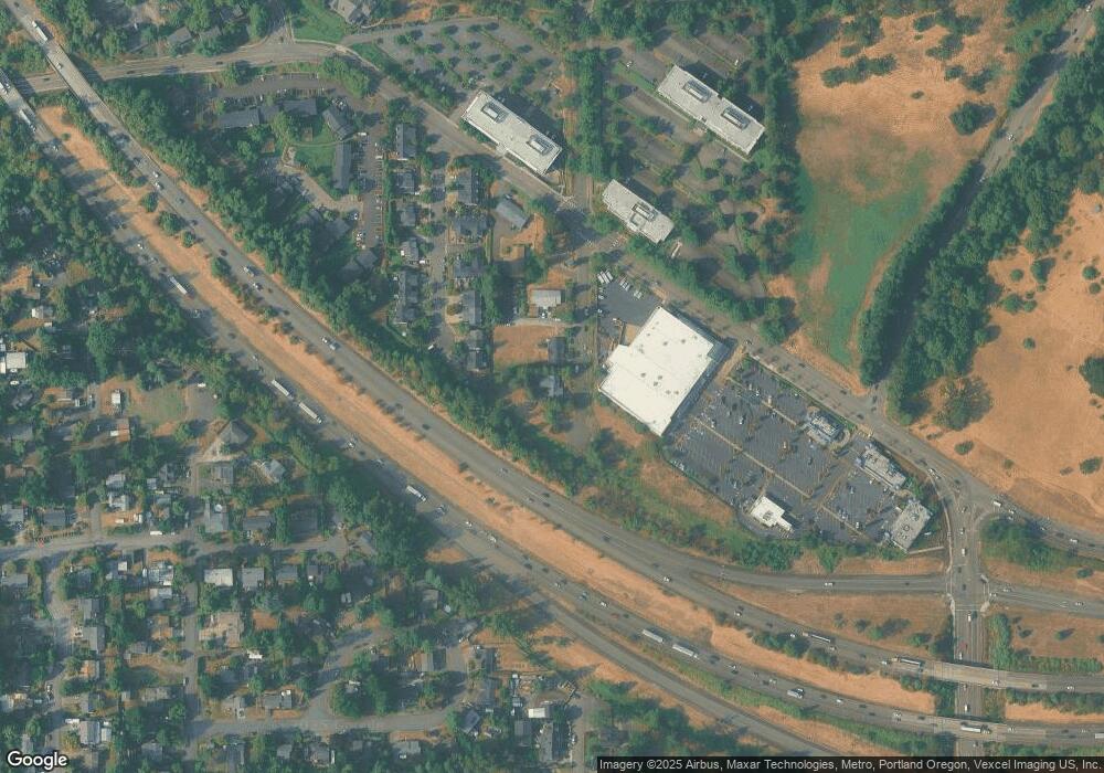
Map
Nearby Homes
- 2026 Virginia Ln
- 1791 Blankenship Rd
- 1733 Jamie Cir
- 975 Springtree Ln
- 1931 13th St
- 850 Springtree Ln Unit 850
- 4650 Summerlinn Way
- 880 Springtree Ln Unit 880
- 800 Springtree Ln
- 3850 Summerlinn Dr Unit 58
- 640 Springtree Ln
- 3565 Summerlinn Dr Unit 64
- 1925 Hillhouse Dr
- 6505 Summerlinn Way Unit 79
- 3395 Summerlinn Dr Unit 24
- 2378 Falcon Dr
- 6840 Summerlinn Way Unit 93
- 1721 Dollar St Unit 1721
- 6735 Summerlinn Way Unit 87
- 3135 Summerlinn Dr Unit 40
- 2170 13th St
- 2036 Virginia Ln
- 2038 Virginia Ln
- 2034 Virginia Ln
- 2176 13th St
- 2180 13th St
- 2032 Virginia Ln
- 2028 Virginia Ln
- 2024 Virginia Ln
- 2016 Virginia Ln
- 2018 Virginia Ln
- 2020 Virginia Ln
- 2022 Virginia Ln
- 2031 Virginia Ln
- 2029 Virginia Ln Unit 1
- 2029 Virginia Ln
- 2027 Virginia Ln
- 2025 Virginia Ln
- 2014 Virginia Ln
- 1771 Blankenship Rd