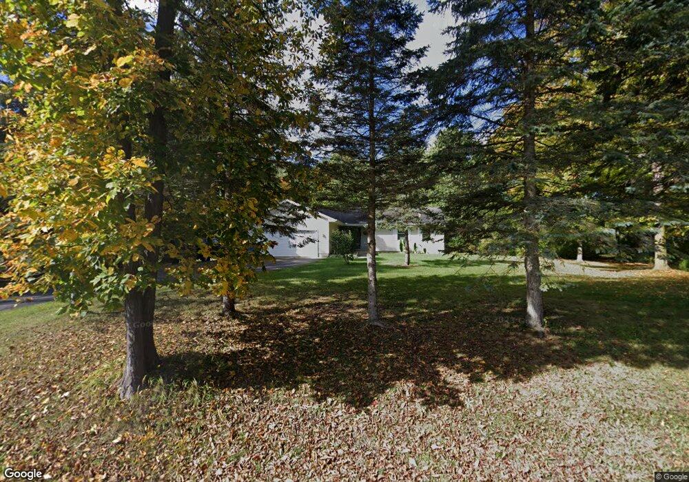
2150 Dearing Rd Spring Arbor, MI 49283
Estimated Value: $255,000 - $316,000
Studio
--
Bath
1,344
Sq Ft
$212/Sq Ft
Est. Value
About This Home
This home is located at 2150 Dearing Rd, Spring Arbor, MI 49283 and is currently estimated at $284,832, approximately $211 per square foot. 2150 Dearing Rd is a home located in Jackson County with nearby schools including Western High School, Paragon Charter Academy, and Trinity Lutheran School.
Ownership History
Date
Name
Owned For
Owner Type
Purchase Details
Closed on
Apr 24, 2007
Sold by
The Free Methodist Foundation
Bought by
Smith Renee D
Current Estimated Value
Home Financials for this Owner
Home Financials are based on the most recent Mortgage that was taken out on this home.
Original Mortgage
$35,000
Interest Rate
6.18%
Mortgage Type
Purchase Money Mortgage
Purchase Details
Closed on
May 18, 2006
Sold by
Bonney George H and Bonney Betty J
Bought by
Gilbertson Bernt William and Gilbertson Steen Eric
Create a Home Valuation Report for This Property
The Home Valuation Report is an in-depth analysis detailing your home's value as well as a comparison with similar homes in the area
Purchase History
| Date | Buyer | Sale Price | Title Company |
|---|---|---|---|
| Smith Renee D | $174,900 | Mst | |
| Gilbertson Bernt William | $10,000 | At |
Source: Public Records
Mortgage History
| Date | Status | Borrower | Loan Amount |
|---|---|---|---|
| Previous Owner | Smith Renee D | $35,000 |
Source: Public Records
Tax History
| Year | Tax Paid | Tax Assessment Tax Assessment Total Assessment is a certain percentage of the fair market value that is determined by local assessors to be the total taxable value of land and additions on the property. | Land | Improvement |
|---|---|---|---|---|
| 2025 | $2,850 | $150,800 | $0 | $0 |
| 2024 | $17 | $131,600 | $0 | $0 |
| 2023 | $1,692 | $121,300 | $0 | $0 |
| 2022 | $2,586 | $121,100 | $0 | $0 |
| 2021 | $2,539 | $115,300 | $0 | $0 |
| 2020 | $2,509 | $94,140 | $0 | $0 |
| 2019 | $2,244 | $84,930 | $0 | $0 |
| 2018 | $2,236 | $81,300 | $8,180 | $73,120 |
| 2017 | $2,118 | $80,000 | $0 | $0 |
| 2016 | $1,352 | $78,840 | $78,840 | $0 |
| 2015 | $55,544 | $66,790 | $66,790 | $0 |
| 2014 | $55,544 | $59,310 | $59,310 | $0 |
| 2013 | -- | $59,310 | $59,310 | $0 |
Source: Public Records
Map
Nearby Homes
- 2503 Milford Rd
- 7969 Brandon Dr
- 7315 King Rd
- 1400 Chapel Rd
- 1400 Chapel Rd Unit B
- 1400 Chapel Rd Unit A
- 1570 Chapel Rd
- 6728 King Rd
- V/L S Dearing Rd Unit 40 Acres Vacant Land
- 7052 Gilroy Ct
- 2635 S Dearing Rd
- 2625 S Dearing Rd
- 1126 Chapel Rd
- 68 Dickens St
- 4849 Indian Creek Dr Unit 6
- 4894 Indian Creek Dr
- 28 Engelhardt Strasse
- 33 Aviara Oaks Pkwy
- 1035 Engelhardt Strasse
- 4557 Westbrook Dr Unit 31
- 2150 S Dearing Rd
- 1730 Dearing Rd
- 2126 S Dearing Rd
- 2126 Dearing Rd
- 2170 Dearing Rd
- 1987 Dearing Rd
- 1990 Dearing Rd
- 2045 S Dearing Rd
- 2045 Dearing Rd
- 2178 Dearing Rd
- 2155 Dearing Rd
- 2124 Dearing Rd
- 2035 Dearing Rd
- 2035 Dearing Rd
- 2035 Dearing Rd
- 2035 Dearing Rd
- 2035 S Dearing Rd
- 2171 Dearing Rd
- 2171 Dearing Rd
- 2194 Dearing Rd
Your Personal Tour Guide
Ask me questions while you tour the home.