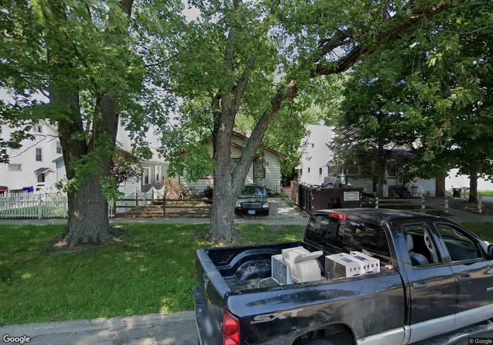
2150 E William St Decatur, IL 62521
Jasper Park NeighborhoodEstimated Value: $32,000 - $57,000
Studio
--
Bath
962
Sq Ft
$43/Sq Ft
Est. Value
About This Home
This home is located at 2150 E William St, Decatur, IL 62521 and is currently estimated at $41,331, approximately $42 per square foot. 2150 E William St is a home located in Macon County with nearby schools including Michael E. Baum Elementary School, Stephen Decatur Middle School, and Robertson Charter School.
Ownership History
Date
Name
Owned For
Owner Type
Purchase Details
Closed on
Feb 24, 2025
Sold by
Horne Isaiah
Bought by
Sombright Larry
Current Estimated Value
Purchase Details
Closed on
Dec 14, 2023
Sold by
Barnes Gloria
Bought by
Horne Isaia L
Purchase Details
Closed on
Dec 8, 2023
Sold by
Johnson Creehannah
Bought by
Barnes Gloria
Purchase Details
Closed on
Jun 10, 2021
Sold by
Siaw Roxanne R
Bought by
Johnson Creenannan
Purchase Details
Closed on
Mar 6, 2014
Sold by
Fromm Joseph
Bought by
Ross James K and Slaw Roxanne R
Purchase Details
Closed on
Sep 1, 2004
Create a Home Valuation Report for This Property
The Home Valuation Report is an in-depth analysis detailing your home's value as well as a comparison with similar homes in the area
Home Values in the Area
Average Home Value in this Area
Purchase History
| Date | Buyer | Sale Price | Title Company |
|---|---|---|---|
| Sombright Larry | -- | None Listed On Document | |
| Horne Isaia L | -- | None Listed On Document | |
| Barnes Gloria | -- | None Listed On Document | |
| Barnes Gloria | -- | None Listed On Document | |
| Johnson Creenannan | -- | None Available | |
| Johnson Creehannah | -- | None Available | |
| Ross James K | $7,000 | None Available | |
| -- | $11,000 | -- |
Source: Public Records
Tax History
| Year | Tax Paid | Tax Assessment Tax Assessment Total Assessment is a certain percentage of the fair market value that is determined by local assessors to be the total taxable value of land and additions on the property. | Land | Improvement |
|---|---|---|---|---|
| 2024 | $808 | $8,351 | $1,164 | $7,187 |
| 2023 | $802 | $8,056 | $1,123 | $6,933 |
| 2022 | $749 | $7,328 | $1,039 | $6,289 |
| 2021 | $704 | $6,843 | $970 | $5,873 |
| 2020 | $0 | $6,525 | $925 | $5,600 |
| 2019 | $277 | $6,525 | $925 | $5,600 |
| 2018 | $0 | $7,024 | $205 | $6,819 |
| 2017 | $0 | $7,211 | $210 | $7,001 |
| 2016 | $277 | $7,284 | $212 | $7,072 |
| 2015 | $268 | $8,318 | $1,301 | $7,017 |
| 2014 | $790 | $8,236 | $1,288 | $6,948 |
| 2013 | $816 | $8,545 | $1,336 | $7,209 |
Source: Public Records
Map
Nearby Homes
- 2150 E Clay St
- 2360 E Wood St
- 111 S 24th+520 E Division+870 N Union St
- 2434 E Prairie St
- 2152 E Decatur St
- 2440 E Wood St
- 203 S 25th St
- 1722 E Johns Ave
- 2353 E Hendrix St
- 1484 E Clay St
- 2104 E Whitmer St
- 2039 E Whitmer St
- 632 S 17th St
- 1422 Sedgwick St
- 1211 N 18th St
- 1221 E Main St
- 2819 E Wood St
- 2919 Wasson Way
- 1872 Shady Crest St
- 2280 E Hickory St
- 2160 E William St
- 2140 E William St
- 2136 E William St
- 2128 E William St
- 2124 E William St
- 2112 E William St
- 2104 E William St
- 2125 E William St
- 2084 E William St
- 2121 E William St
- 375 N 22nd St
- 2109 E William St
- 2076 E William St
- 2068 E William St
- 238 N 21st St
- 2085 E William St
- 403 N 22nd St
- 2060 E William St
- 2065 E North St
- 2144 E Prairie St
Your Personal Tour Guide
Ask me questions while you tour the home.