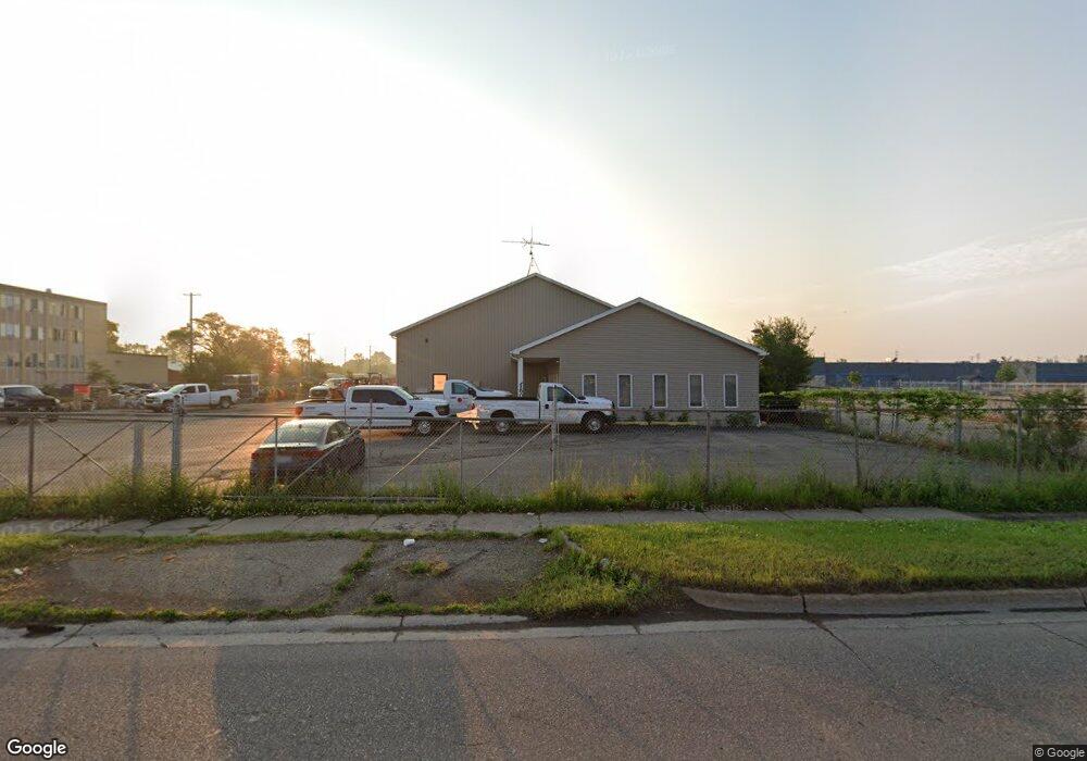
2150 N Dort Hwy Flint, MI 48506
Potter Longway NeighborhoodEstimated Value: $291,083
--
Bed
--
Bath
4,720
Sq Ft
$62/Sq Ft
Est. Value
About This Home
This home is located at 2150 N Dort Hwy, Flint, MI 48506 and is currently priced at $291,083, approximately $61 per square foot. 2150 N Dort Hwy is a home located in Genesee County with nearby schools including Potter School, Richfield Public School Academy, and Flint Cultural Center Academy.
Ownership History
Date
Name
Owned For
Owner Type
Purchase Details
Closed on
Dec 21, 2017
Sold by
Bam Bam Llc
Bought by
Commserve Communications Inc
Current Estimated Value
Purchase Details
Closed on
Sep 21, 2011
Sold by
Ross Virgil A and Ross William F
Bought by
Bam Bam Llc
Purchase Details
Closed on
Oct 17, 2003
Sold by
Myslicki Keith
Bought by
Ross Virgil A and Ross Duaine
Purchase Details
Closed on
Aug 3, 2001
Sold by
Myslicki Patricia
Bought by
Myslicki Keith
Create a Home Valuation Report for This Property
The Home Valuation Report is an in-depth analysis detailing your home's value as well as a comparison with similar homes in the area
Home Values in the Area
Average Home Value in this Area
Purchase History
| Date | Buyer | Sale Price | Title Company |
|---|---|---|---|
| Commserve Communications Inc | $190,000 | Cislo Title Co | |
| Bam Bam Llc | $108,000 | Lighthouse Title Inc | |
| Ross Virgil A | $17,800 | -- | |
| Myslicki Keith | $500 | -- |
Source: Public Records
Tax History Compared to Growth
Tax History
| Year | Tax Paid | Tax Assessment Tax Assessment Total Assessment is a certain percentage of the fair market value that is determined by local assessors to be the total taxable value of land and additions on the property. | Land | Improvement |
|---|---|---|---|---|
| 2025 | $5,174 | $65,900 | $0 | $0 |
| 2024 | $4,683 | $71,500 | $0 | $0 |
| 2023 | $5,814 | $88,400 | $0 | $0 |
| 2022 | $0 | $88,700 | $0 | $0 |
| 2021 | $6,518 | $88,700 | $0 | $0 |
| 2020 | $5,848 | $87,700 | $0 | $0 |
| 2019 | $5,723 | $88,000 | $0 | $0 |
| 2018 | $6,353 | $90,000 | $0 | $0 |
| 2017 | $8,121 | $0 | $0 | $0 |
| 2016 | $8,049 | $0 | $0 | $0 |
| 2015 | -- | $0 | $0 | $0 |
| 2014 | -- | $0 | $0 | $0 |
| 2012 | -- | $110,000 | $0 | $0 |
Source: Public Records
Map
Nearby Homes
- 2211 Torrance St
- 2426 Hoff St
- 3116 Beechwood Ave
- 3149 Whittier Ave
- 3205 Holly Ave
- 2719 Branch Rd
- 3220 Woodrow Ave
- 2610 Pennsylvania Ave
- 2225 Arlington Ave
- 3232 Dale Ave
- 1510 N Vernon Ave
- 2506 Arlington Ave
- 1622 Arlington Ave
- 2426 Missouri Ave
- 3214 Maryland Ave
- 2301 Missouri Ave
- 2605 Nebraska Ave
- 1501 Arlington Ave
- 1814 Mabel Ave
- 1805 Bennett Ave
- 2202 Torrance Ave
- 2102 Torrance Ave
- 2038 Torrance Ave
- 2073 N Dort Hwy
- 2034 Torrance Ave
- 2041 N Dort Hwy
- 2030 Torrance Ave
- 2622 Bennett Ave
- 2033 N Dort Hwy
- 2113 Torrance Ave
- 2618 Bennett Ave
- 2109 Torrance Ave
- 2105 Torrance Ave
- 2015 N Dort Hwy
- 2201 Torrance Ave
- 2101 Torrance Ave
- 2614 Bennett Ave
- 2315 N Dort Hwy
- 2207 Torrance Ave
- 2037 Torrance Ave