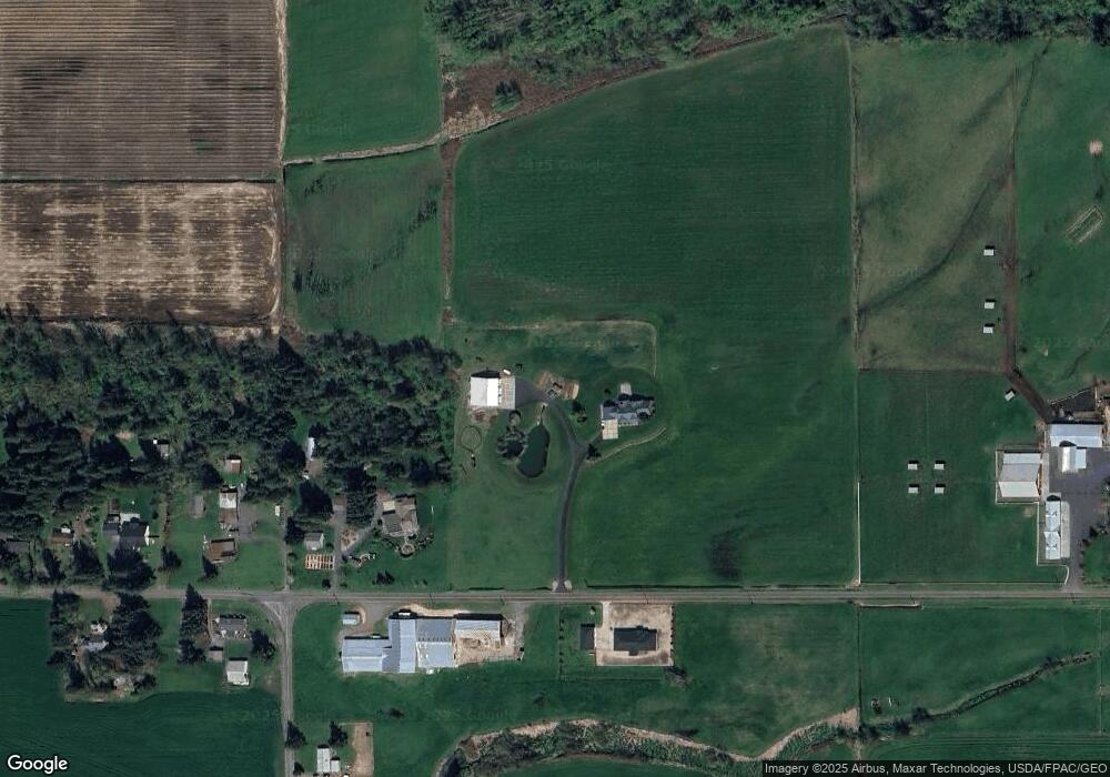
2150 Timon Rd Everson, WA 98247
Estimated Value: $1,417,000
2
Beds
5
Baths
3,927
Sq Ft
$361/Sq Ft
Est. Value
About This Home
This home is located at 2150 Timon Rd, Everson, WA 98247 and is currently estimated at $1,417,000, approximately $360 per square foot. 2150 Timon Rd is a home located in Whatcom County with nearby schools including Everson Elementary School, Nooksack Elementary School, and Sumas Elementary School.
Ownership History
Date
Name
Owned For
Owner Type
Purchase Details
Closed on
Oct 16, 2002
Sold by
Boschma Rubbert Family Lp
Bought by
Rubbert David W A and Rubbert Shirley B
Current Estimated Value
Purchase Details
Closed on
May 29, 2001
Sold by
United States Of America Farmers Home Ad
Bought by
Heerspink Ralph and Heerspink Lou Ann
Purchase Details
Closed on
Dec 20, 2000
Sold by
Boschma Hank and Boschma Bernice
Bought by
Boschma Rubbert Family Ltd Partnership
Create a Home Valuation Report for This Property
The Home Valuation Report is an in-depth analysis detailing your home's value as well as a comparison with similar homes in the area
Purchase History
| Date | Buyer | Sale Price | Title Company |
|---|---|---|---|
| Rubbert David W A | -- | -- | |
| Heerspink Ralph | -- | Chicago Title Insurance Comp | |
| Boschma Rubbert Family Ltd Partnership | -- | -- | |
| Boschma Hank | -- | -- |
Source: Public Records
Tax History
| Year | Tax Paid | Tax Assessment Tax Assessment Total Assessment is a certain percentage of the fair market value that is determined by local assessors to be the total taxable value of land and additions on the property. | Land | Improvement |
|---|---|---|---|---|
| 2025 | $7,734 | $1,443,177 | $686,698 | $756,479 |
| 2024 | $9,204 | $1,417,926 | $679,898 | $738,028 |
| 2023 | $9,204 | $1,479,149 | $544,447 | $934,702 |
| 2022 | $8,133 | $1,332,588 | $490,501 | $842,087 |
| 2021 | $7,912 | $1,041,063 | $383,196 | $657,867 |
| 2020 | $6,971 | $569,115 | $11,600 | $557,515 |
| 2019 | $6,288 | $796,389 | $293,136 | $503,253 |
| 2018 | $8,086 | $490,616 | $10,000 | $480,616 |
| 2017 | $7,100 | $479,239 | $11,920 | $467,319 |
| 2016 | $7,069 | $426,973 | $10,620 | $416,353 |
| 2015 | $5,835 | $426,973 | $10,620 | $416,353 |
| 2014 | -- | $454,688 | $62,250 | $392,438 |
| 2013 | -- | $444,351 | $58,186 | $386,165 |
Source: Public Records
Map
Nearby Homes
- 1915 Hampton Rd
- 1925 Hampton Rd
- 1766 Hampton Rd
- 408 W 3rd St
- 416 W 3rd St
- 702 N Washington St
- 409 W 4th St
- 0 Walnut Grove Ct
- 108 Baker St Unit 1-4
- 207 E Main St
- 107 River St
- 616 Strandell St
- 1005 Night Hawk Way
- 2068 Bowfin Way
- 303 Hayes St
- 2105 Lagerwey Cir
- 2103 Lagerwey Cir
- 107 Thendara Park Dr Unit C
- 2173 Lagerwey Cir
- 412 W 3rd St
Your Personal Tour Guide
Ask me questions while you tour the home.