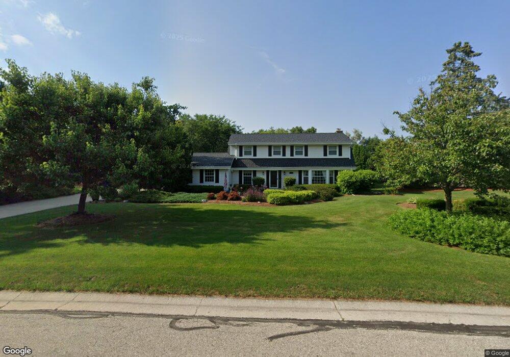
21500 Clearfield Rd Brookfield, WI 53045
Estimated Value: $542,000 - $572,000
4
Beds
3
Baths
2,458
Sq Ft
$229/Sq Ft
Est. Value
About This Home
This home is located at 21500 Clearfield Rd, Brookfield, WI 53045 and is currently estimated at $561,672, approximately $228 per square foot. 21500 Clearfield Rd is a home located in Waukesha County with nearby schools including Brookfield Elementary School, Wisconsin Hills Middle School, and Brookfield Central High School.
Ownership History
Date
Name
Owned For
Owner Type
Purchase Details
Closed on
Jun 17, 1999
Sold by
Smith James J and Smith Stephanie
Bought by
Nemcek Paul A and Nemcek Diane L
Current Estimated Value
Home Financials for this Owner
Home Financials are based on the most recent Mortgage that was taken out on this home.
Original Mortgage
$100,000
Interest Rate
7.29%
Mortgage Type
Purchase Money Mortgage
Create a Home Valuation Report for This Property
The Home Valuation Report is an in-depth analysis detailing your home's value as well as a comparison with similar homes in the area
Home Values in the Area
Average Home Value in this Area
Purchase History
| Date | Buyer | Sale Price | Title Company |
|---|---|---|---|
| Nemcek Paul A | $260,000 | -- |
Source: Public Records
Mortgage History
| Date | Status | Borrower | Loan Amount |
|---|---|---|---|
| Closed | Nemcek Paul A | $100,000 |
Source: Public Records
Tax History Compared to Growth
Tax History
| Year | Tax Paid | Tax Assessment Tax Assessment Total Assessment is a certain percentage of the fair market value that is determined by local assessors to be the total taxable value of land and additions on the property. | Land | Improvement |
|---|---|---|---|---|
| 2024 | $5,017 | $451,200 | $135,000 | $316,200 |
| 2023 | $5,017 | $451,200 | $135,000 | $316,200 |
| 2022 | $5,273 | $370,200 | $130,000 | $240,200 |
| 2021 | $5,583 | $370,200 | $130,000 | $240,200 |
| 2020 | $5,828 | $370,200 | $130,000 | $240,200 |
| 2019 | $5,597 | $370,200 | $130,000 | $240,200 |
| 2018 | $5,285 | $340,300 | $140,000 | $200,300 |
| 2017 | $5,289 | $340,300 | $140,000 | $200,300 |
| 2016 | $5,365 | $340,300 | $140,000 | $200,300 |
| 2015 | $5,336 | $340,300 | $140,000 | $200,300 |
| 2014 | $5,344 | $340,300 | $140,000 | $200,300 |
| 2013 | $5,535 | $340,300 | $140,000 | $200,300 |
Source: Public Records
Map
Nearby Homes
- 21330 Hollycrest Ct
- 21300 Astolat Dr
- 2410 Talbots Ln
- W222N2872 Timberwood Ct
- 20780 Tennyson Dr
- N31W22134 Green Rd
- 7034 Stonewood Ln
- 7038 Stonewood Ln
- 7018 Stonewood Ln
- 7022 Stonewood Ln
- 21965 Valiant Dr
- 21380 Woodchuck Ln
- Lt119 Berwick Ct
- Lt117 Berwick Ct
- Lt115 Berwick Ct
- Lt120 Berwick Ct
- Lt116 Berwick Ct
- Lt114 Berwick Ct
- Lt118 Berwick Ct
- W223N2314 Meadowood Ln
- 2715 Almesbury Ave
- 2745 Almesbury Ave
- 2710 Harmony Cir
- 2730 Harmony Cir
- 2685 Almesbury Ave
- 2765 Almesbury Ave
- 2690 Harmony Cir
- 2760 Harmony Cir
- 2720 Almesbury Ave
- 2665 Almesbury Ave
- 2700 Almesbury Ave
- 2760 Almesbury Ave
- 2775 Almesbury Ave
- 2705 Harmony Cir
- 2780 Harmony Cir
- 2680 Almesbury Ave
- 2735 Harmony Cir
- 21385 Cambridge Circle Lower Unit LWR
- 21400 Cambridge Circle Lower Unit LWR
- 2695 Harmony Cir