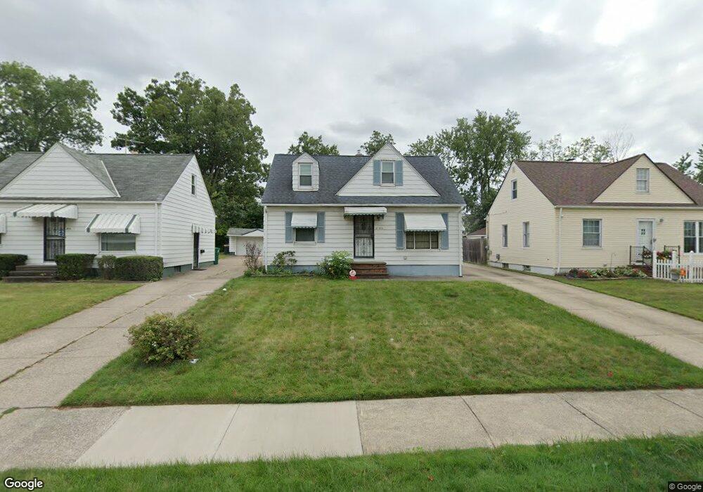
21500 Franklin Rd Maple Heights, OH 44137
Estimated Value: $101,000 - $148,000
3
Beds
1
Bath
1,080
Sq Ft
$105/Sq Ft
Est. Value
About This Home
This home is located at 21500 Franklin Rd, Maple Heights, OH 44137 and is currently estimated at $113,768, approximately $105 per square foot. 21500 Franklin Rd is a home located in Cuyahoga County with nearby schools including Abraham Lincoln Elementary School, Rockside/ J.F. Kennedy School, and Italy High School.
Ownership History
Date
Name
Owned For
Owner Type
Purchase Details
Closed on
Aug 21, 1997
Sold by
Hanzak Irene F
Bought by
Mcqueen Melvin D
Current Estimated Value
Home Financials for this Owner
Home Financials are based on the most recent Mortgage that was taken out on this home.
Original Mortgage
$70,859
Outstanding Balance
$10,208
Interest Rate
7.56%
Mortgage Type
FHA
Estimated Equity
$103,560
Purchase Details
Closed on
Aug 9, 1984
Sold by
Hanzak George R and Hanzak Irene F
Bought by
Hanzak Irene F
Purchase Details
Closed on
Jan 1, 1975
Bought by
Hanzak George R and Hanzak Irene F
Create a Home Valuation Report for This Property
The Home Valuation Report is an in-depth analysis detailing your home's value as well as a comparison with similar homes in the area
Home Values in the Area
Average Home Value in this Area
Purchase History
| Date | Buyer | Sale Price | Title Company |
|---|---|---|---|
| Mcqueen Melvin D | $70,900 | -- | |
| Hanzak Irene F | -- | -- | |
| Hanzak George R | -- | -- |
Source: Public Records
Mortgage History
| Date | Status | Borrower | Loan Amount |
|---|---|---|---|
| Open | Mcqueen Melvin D | $70,859 |
Source: Public Records
Tax History Compared to Growth
Tax History
| Year | Tax Paid | Tax Assessment Tax Assessment Total Assessment is a certain percentage of the fair market value that is determined by local assessors to be the total taxable value of land and additions on the property. | Land | Improvement |
|---|---|---|---|---|
| 2024 | $2,659 | $27,720 | $6,685 | $21,035 |
| 2023 | $2,185 | $19,470 | $4,030 | $15,440 |
| 2022 | $2,178 | $19,460 | $4,030 | $15,440 |
| 2021 | $2,319 | $19,460 | $4,030 | $15,440 |
| 2020 | $1,988 | $14,740 | $3,050 | $11,690 |
| 2019 | $1,976 | $42,100 | $8,700 | $33,400 |
| 2018 | $1,966 | $14,740 | $3,050 | $11,690 |
| 2017 | $1,893 | $13,760 | $2,840 | $10,920 |
| 2016 | $1,830 | $13,760 | $2,840 | $10,920 |
| 2015 | $1,825 | $13,760 | $2,840 | $10,920 |
| 2014 | $1,825 | $15,130 | $3,120 | $12,010 |
Source: Public Records
Map
Nearby Homes
- 21207 Franklin Rd
- 21102 Raymond St
- 20907 Watson Rd
- 20814 Watson Rd
- 21416 Gardenview Dr
- 20715 Watson Rd
- 20814 Kenyon Dr
- 20701 Kenyon Dr
- 20510 Mountville Dr
- 5285 Mardale Ave
- 5301 Mardale Ave
- 20120 Mccracken Rd
- 20107 Libby Rd
- 19807 Gardenview Dr
- 20750 Bowling Green Rd
- 19806 Mountville Dr
- 20732 Applegate Rd
- 19812 Stockton Ave
- 19520 Maple Heights Blvd
- 20739 Donny Brook Rd
- 21408 Franklin Rd
- 21502 Franklin Rd
- 21406 Franklin Rd
- 21504 Franklin Rd
- 21419 Hillgrove Ave
- 21503 Hillgrove Ave
- 21404 Franklin Rd
- 21415 Hillgrove Ave
- 21506 Franklin Rd
- 21411 Hillgrove Ave
- 21511 Hillgrove Ave
- 21402 Franklin Rd
- 21407 Hillgrove Ave
- 21501 Franklin Rd
- 21407 Franklin Rd
- 21508 Franklin Rd
- 21503 Franklin Rd
- 21405 Franklin Rd
- 21515 Hillgrove Ave
- 21505 Franklin Rd