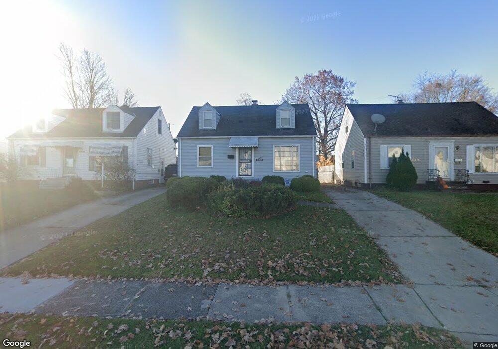
21500 Watson Rd Maple Heights, OH 44137
Estimated Value: $102,154 - $113,000
2
Beds
1
Bath
1,080
Sq Ft
$99/Sq Ft
Est. Value
About This Home
This home is located at 21500 Watson Rd, Maple Heights, OH 44137 and is currently estimated at $106,789, approximately $98 per square foot. 21500 Watson Rd is a home located in Cuyahoga County with nearby schools including Abraham Lincoln Elementary School, Rockside/ J.F. Kennedy School, and Italy High School.
Ownership History
Date
Name
Owned For
Owner Type
Purchase Details
Closed on
Jun 24, 1993
Sold by
Catalano Antonio B
Bought by
Younger Brian L
Current Estimated Value
Purchase Details
Closed on
Jul 29, 1988
Sold by
Pasternak Madeline C
Bought by
Catalano Antonio B
Purchase Details
Closed on
Nov 7, 1984
Sold by
Pasternak John J
Bought by
Pasternak Madeline C
Purchase Details
Closed on
Oct 26, 1976
Sold by
Pasternak John J and Pasternak Madeline
Bought by
Pasternak John J
Purchase Details
Closed on
Jan 1, 1975
Bought by
Pasternak John J and Pasternak Madeline
Create a Home Valuation Report for This Property
The Home Valuation Report is an in-depth analysis detailing your home's value as well as a comparison with similar homes in the area
Home Values in the Area
Average Home Value in this Area
Purchase History
| Date | Buyer | Sale Price | Title Company |
|---|---|---|---|
| Younger Brian L | $56,000 | -- | |
| Catalano Antonio B | $43,000 | -- | |
| Pasternak Madeline C | -- | -- | |
| Pasternak John J | -- | -- | |
| Pasternak John J | -- | -- |
Source: Public Records
Tax History Compared to Growth
Tax History
| Year | Tax Paid | Tax Assessment Tax Assessment Total Assessment is a certain percentage of the fair market value that is determined by local assessors to be the total taxable value of land and additions on the property. | Land | Improvement |
|---|---|---|---|---|
| 2024 | $2,847 | $31,010 | $6,965 | $24,045 |
| 2023 | $2,130 | $19,530 | $4,200 | $15,330 |
| 2022 | $2,122 | $19,530 | $4,200 | $15,330 |
| 2021 | $2,259 | $19,530 | $4,200 | $15,330 |
| 2020 | $1,938 | $14,810 | $3,190 | $11,620 |
| 2019 | $1,927 | $42,300 | $9,100 | $33,200 |
| 2018 | $1,916 | $14,810 | $3,190 | $11,620 |
| 2017 | $1,838 | $13,760 | $2,980 | $10,780 |
| 2016 | $1,778 | $13,760 | $2,980 | $10,780 |
| 2015 | $1,773 | $13,760 | $2,980 | $10,780 |
| 2014 | $1,773 | $15,130 | $3,260 | $11,870 |
Source: Public Records
Map
Nearby Homes
- 21207 Franklin Rd
- 21102 Raymond St
- 20907 Watson Rd
- 20814 Watson Rd
- 20715 Watson Rd
- 21416 Gardenview Dr
- 20814 Kenyon Dr
- 20701 Kenyon Dr
- 20510 Mountville Dr
- 20120 Mccracken Rd
- 5285 Mardale Ave
- 5301 Mardale Ave
- 20107 Libby Rd
- 19807 Gardenview Dr
- 19806 Mountville Dr
- 20750 Bowling Green Rd
- 19812 Stockton Ave
- 22708 Jennings St
- 20732 Applegate Rd
- 19520 Maple Heights Blvd
- 21504 Watson Rd
- 21416 Watson Rd
- 21508 Watson Rd
- 21412 Watson Rd
- 21408 Watson Rd
- 21512 Watson Rd
- 21503 Raymond St
- 21507 Raymond St
- 21419 Raymond St
- 21511 Raymond St
- 21415 Raymond St
- 21404 Watson Rd
- 21516 Watson Rd
- 21501 Watson Rd
- 21505 Watson Rd
- 21417 Watson Rd
- 21411 Raymond St
- 21515 Raymond St
- 21515 Raymond St Unit 284
- 21509 Watson Rd