2151 Highway 26 Gooding, ID 83330
Estimated Value: $477,433 - $814,000
3
Beds
2
Baths
2,584
Sq Ft
$235/Sq Ft
Est. Value
About This Home
This home is located at 2151 Highway 26, Gooding, ID 83330 and is currently estimated at $608,108, approximately $235 per square foot. 2151 Highway 26 is a home located in Gooding County with nearby schools including Gooding Elementary School, Gooding Middle School, and Gooding High School.
Ownership History
Date
Name
Owned For
Owner Type
Purchase Details
Closed on
Jun 15, 2012
Sold by
Toronson Barbara A
Bought by
Esterbrook Taner S and Esterbrook Jenny A
Current Estimated Value
Home Financials for this Owner
Home Financials are based on the most recent Mortgage that was taken out on this home.
Original Mortgage
$200,000
Outstanding Balance
$138,020
Interest Rate
3.74%
Mortgage Type
New Conventional
Estimated Equity
$470,088
Purchase Details
Closed on
Jul 26, 2007
Sold by
Demaray Dowell D and Demaray Judith L
Bought by
Thronson Gary L and Thronson Barbara A
Home Financials for this Owner
Home Financials are based on the most recent Mortgage that was taken out on this home.
Original Mortgage
$135,000
Interest Rate
6.39%
Mortgage Type
New Conventional
Create a Home Valuation Report for This Property
The Home Valuation Report is an in-depth analysis detailing your home's value as well as a comparison with similar homes in the area
Home Values in the Area
Average Home Value in this Area
Purchase History
| Date | Buyer | Sale Price | Title Company |
|---|---|---|---|
| Esterbrook Taner S | -- | Land Title And Escrow Inc | |
| Thronson Gary L | -- | -- |
Source: Public Records
Mortgage History
| Date | Status | Borrower | Loan Amount |
|---|---|---|---|
| Open | Esterbrook Taner S | $200,000 | |
| Previous Owner | Thronson Gary L | $135,000 |
Source: Public Records
Tax History Compared to Growth
Tax History
| Year | Tax Paid | Tax Assessment Tax Assessment Total Assessment is a certain percentage of the fair market value that is determined by local assessors to be the total taxable value of land and additions on the property. | Land | Improvement |
|---|---|---|---|---|
| 2025 | $1,663 | $421,900 | $135,311 | $286,589 |
| 2024 | $1,663 | $421,900 | $135,311 | $286,589 |
| 2023 | $1,641 | $421,900 | $135,311 | $286,589 |
| 2022 | $2,034 | $421,900 | $135,311 | $286,589 |
| 2021 | $2,202 | $401,115 | $52,748 | $348,367 |
| 2020 | -- | $316,595 | $49,460 | $267,135 |
| 2019 | -- | $261,609 | $49,460 | $212,149 |
| 2018 | -- | $253,011 | $40,862 | $212,149 |
| 2017 | -- | $0 | $0 | $0 |
| 2016 | -- | $0 | $0 | $0 |
| 2015 | -- | $0 | $0 | $0 |
| 2014 | -- | $0 | $0 | $0 |
| 2011 | -- | $0 | $0 | $0 |
Source: Public Records
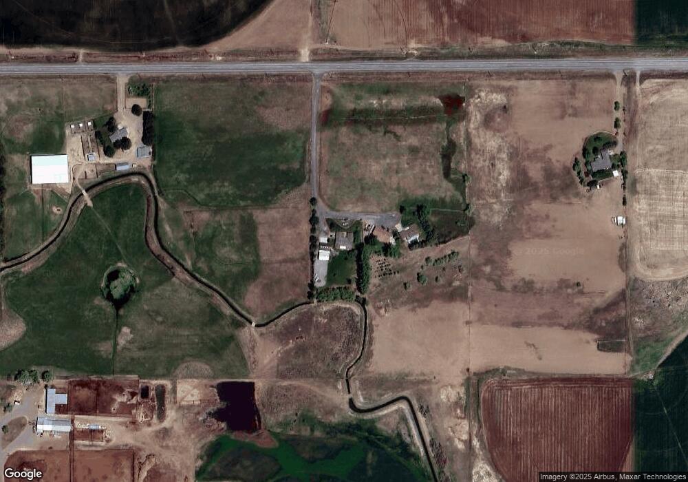
Map
Nearby Homes
- TBD U S Highway 26
- 238 Dorothy Ave
- 2039 Main St
- 380 Orchard Dr E
- 1711 California St
- 428 Orchard Dr
- 1410 California St
- 1958 Idaho 46
- 1203 Idaho St
- 1224 Colorado St
- 636 Spruce Cir
- 1018 Main St
- 551 10th Ave W
- 1045 Utah St
- 1525 Mountain View Dr
- 905 Main St
- 846 Wyoming St
- 833 Nebraska St
- 733 California St
- 722 Nevada St
- 2371 Highway 26
- 2275 Highway 26
- 2135 Highway 26
- 2167 Highway 26
- 2005 Highway 26
- 2017 Highway 26
- 1935 Highway 26
- 1967 Highway 26
- 2167 Highway 26 Unit 26
- 2153 Highway 26
- 2151 Highway 26
- 1967 Highway 26
- 1967 Highway 26
- 2300 Main St
- 2209 Main St
- 2272 Highway 26
- 2264 Highway 26
- 2216 Highway 26 Unit A
- 2216A Highway 26
- 1895 Highway 26