2151 Liberty Rd Gordonville, TX 76245
Estimated Value: $885,000 - $1,267,641
--
Bed
--
Bath
2,167
Sq Ft
$497/Sq Ft
Est. Value
About This Home
This home is located at 2151 Liberty Rd, Gordonville, TX 76245 and is currently estimated at $1,076,321, approximately $496 per square foot. 2151 Liberty Rd is a home located in Grayson County with nearby schools including J.W. Hayes Primary School, Whitesboro Intermediate School, and Whitesboro Middle School.
Ownership History
Date
Name
Owned For
Owner Type
Purchase Details
Closed on
Jun 3, 2025
Sold by
Abernathy Sue Ellen
Bought by
Sue Abernathy Family Trust and Abernathy
Current Estimated Value
Purchase Details
Closed on
Jun 15, 2007
Sold by
Vanabernathy Joe and Abernathy Sue Ellen
Bought by
Vanabernathy Joe and Abernathy Sue Ellen
Create a Home Valuation Report for This Property
The Home Valuation Report is an in-depth analysis detailing your home's value as well as a comparison with similar homes in the area
Home Values in the Area
Average Home Value in this Area
Purchase History
| Date | Buyer | Sale Price | Title Company |
|---|---|---|---|
| Sue Abernathy Family Trust | -- | None Listed On Document | |
| Abernathy Sue Ellen | -- | None Listed On Document | |
| Vanabernathy Joe | -- | None Available |
Source: Public Records
Tax History Compared to Growth
Tax History
| Year | Tax Paid | Tax Assessment Tax Assessment Total Assessment is a certain percentage of the fair market value that is determined by local assessors to be the total taxable value of land and additions on the property. | Land | Improvement |
|---|---|---|---|---|
| 2025 | -- | $710,713 | -- | -- |
| 2024 | $10,223 | $646,103 | $0 | $0 |
| 2023 | $2,122 | $750,526 | $0 | $0 |
| 2022 | $10,076 | $633,849 | $0 | $0 |
| 2021 | $10,341 | $600,917 | $317,196 | $283,721 |
| 2020 | $9,220 | $506,753 | $200,037 | $306,716 |
| 2019 | $9,211 | $464,242 | $222,518 | $241,724 |
| 2018 | $9,399 | $478,833 | $229,876 | $248,957 |
| 2017 | $9,121 | $465,383 | $229,876 | $235,507 |
| 2016 | $8,746 | $456,916 | $229,876 | $227,040 |
| 2015 | $7,687 | $413,386 | $229,876 | $183,510 |
| 2014 | $7,743 | $408,224 | $229,876 | $178,348 |
Source: Public Records
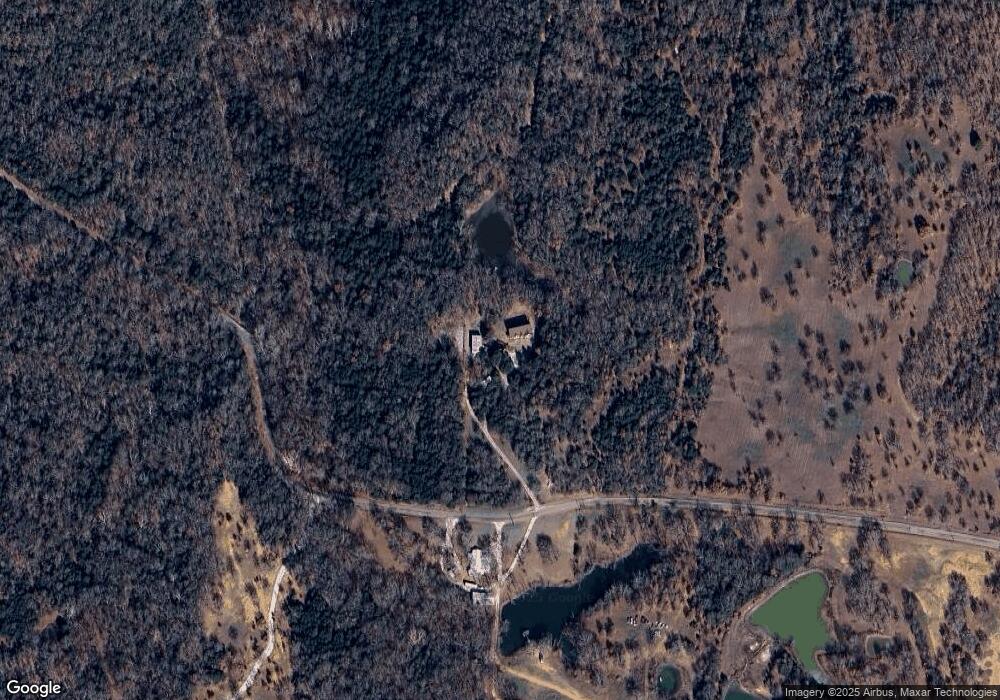
Map
Nearby Homes
- 2887 Liberty Rd
- Lot 2 Rock Creek Rd
- Lot 3 Rock Creek Rd
- TBD 123.57 Acres Rock Creek Rd
- Lot 4 Rock Creek Rd
- Lot 1 Rock Creek Rd
- 2042 Pine Grove Rd
- 161 Shadow Creek Rd
- 125 Lakelands Ct
- 1635 Rock Creek Rd
- 137 Angel Hill Rd
- 257 Angel Hill Rd
- 1877 Rock Creek Rd
- 54+ Acres Rock Creek Rd
- 186 Desert Mountain Dr
- 375 Desert Mountain Dr
- 367 Desert Mountain Dr
- 27A Annadale Ln
- 3 Annadale Ln
- 137 Roaring Fork Cir
- 2178 Liberty Rd
- 1838 Liberty Rd
- 1770 Liberty Rd
- Lot 1 Liberty Rd
- TBD Liberty Rd
- 116 AC Liberty Rd
- 2207 Pine Grove Rd
- 1398 Rock Creek Rd
- 849 Williams Rd
- 1995 Pine Grove Rd
- TBD2 Rock Creek Rd
- TBD Rock Creek Rd
- 5 Acres Rock Creek Rd
- 12+ Acres Rock Creek Rd
- 15 Acres Rock Creek Rd
- Lot 3 & 4 Rock Creek Rd
- Lot 1 & 2 Rock Creek Rd
- 49+ Acres Rock Creek Rd
- 12D Rock Creek Rd
- 123.57 Acres Rock Creek Rd