2151 Smoke Rd Valparaiso, IN 46385
Estimated Value: $480,000 - $845,000
5
Beds
4
Baths
4,004
Sq Ft
$146/Sq Ft
Est. Value
About This Home
This home is located at 2151 Smoke Rd, Valparaiso, IN 46385 and is currently estimated at $583,784, approximately $145 per square foot. 2151 Smoke Rd is a home located in Porter County with nearby schools including Parkview Elementary School, Thomas Jefferson Middle School, and Valparaiso High School.
Ownership History
Date
Name
Owned For
Owner Type
Purchase Details
Closed on
Feb 15, 2017
Sold by
Etzler Gordon A
Bought by
Barbara J Regnitz 2004 Revocable Trust
Current Estimated Value
Purchase Details
Closed on
Nov 1, 2013
Sold by
Neal Ryan L and Neal Jessica S
Bought by
The Barbara J Regnitz 2004 Revocable Tru
Purchase Details
Closed on
Jul 1, 2009
Sold by
Neal Ryan
Bought by
Balentine Danny Owen and Balentine Susan Marie
Purchase Details
Closed on
Sep 26, 2008
Sold by
Neal Ryan
Bought by
Neal Ryan L and Neal Jessica S
Home Financials for this Owner
Home Financials are based on the most recent Mortgage that was taken out on this home.
Original Mortgage
$404,000
Interest Rate
6.43%
Mortgage Type
Construction
Create a Home Valuation Report for This Property
The Home Valuation Report is an in-depth analysis detailing your home's value as well as a comparison with similar homes in the area
Home Values in the Area
Average Home Value in this Area
Purchase History
| Date | Buyer | Sale Price | Title Company |
|---|---|---|---|
| Barbara J Regnitz 2004 Revocable Trust | -- | None Available | |
| Etzler Gordon A | -- | None Available | |
| The Barbara J Regnitz 2004 Revocable Tru | -- | Fidelity National Title Comp | |
| Balentine Danny Owen | -- | Ticor Title Insurance | |
| Neal Ryan L | -- | Meridian Title Corp |
Source: Public Records
Mortgage History
| Date | Status | Borrower | Loan Amount |
|---|---|---|---|
| Previous Owner | Neal Ryan L | $404,000 |
Source: Public Records
Tax History Compared to Growth
Tax History
| Year | Tax Paid | Tax Assessment Tax Assessment Total Assessment is a certain percentage of the fair market value that is determined by local assessors to be the total taxable value of land and additions on the property. | Land | Improvement |
|---|---|---|---|---|
| 2024 | $2,624 | $247,200 | $126,900 | $120,300 |
| 2023 | $2,484 | $662,900 | $126,800 | $536,100 |
| 2022 | $6,076 | $609,200 | $126,800 | $482,400 |
| 2021 | $5,941 | $540,400 | $126,800 | $413,600 |
| 2020 | $5,750 | $512,700 | $114,900 | $397,800 |
| 2019 | $6,046 | $524,200 | $114,900 | $409,300 |
| 2018 | $6,037 | $517,700 | $114,900 | $402,800 |
Source: Public Records
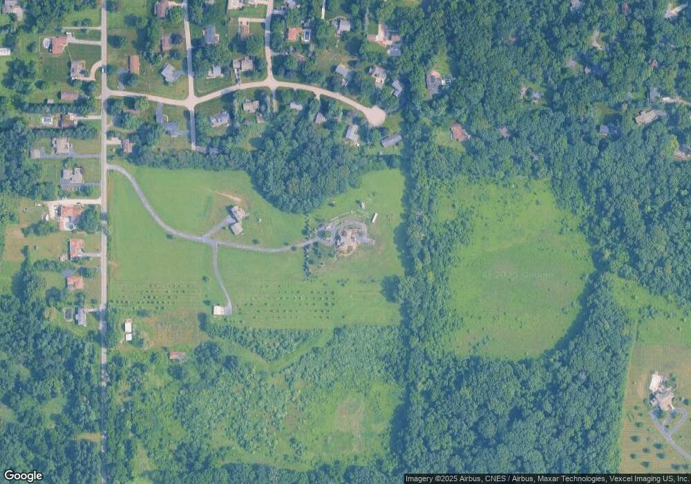
Map
Nearby Homes
- 2054 Lawndale Dr
- 1954 Lawndale Dr
- 1556 Smoke Rd
- 1465 Clark Rd
- 1153 Horse Prairie Ave
- 501 Eagle Ct
- 2655 Vivante Dr
- 1284 Rowley St
- 28 South St
- 2 South St
- 3152 Heavilin Rd
- 557 West St
- 3359 Blue Jay Dr
- 48 E Division Rd
- 1659 Tippecanoe Ct
- 1460 Swansea Ln
- 460 Locust St
- 456 Locust St
- 1356 Sugar Creek Ct
- 857 S Cedar Ln