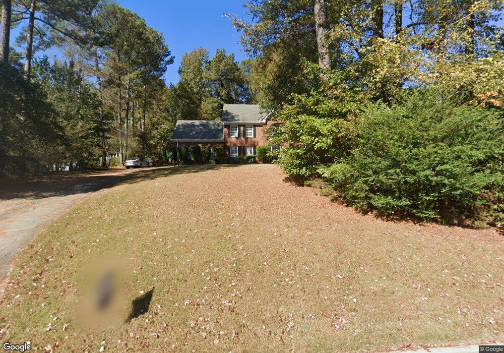
2151 Weatherstone Cir SE Unit 1 Conyers, GA 30094
Estimated Value: $331,080 - $395,000
3
Beds
2
Baths
2,192
Sq Ft
$169/Sq Ft
Est. Value
About This Home
This home is located at 2151 Weatherstone Cir SE Unit 1, Conyers, GA 30094 and is currently estimated at $370,270, approximately $168 per square foot. 2151 Weatherstone Cir SE Unit 1 is a home located in Rockdale County with nearby schools including Flat Shoals Elementary School, Edwards Middle School, and Rockdale County High School.
Ownership History
Date
Name
Owned For
Owner Type
Purchase Details
Closed on
Nov 30, 1995
Sold by
Walker Eleanor and Hartman Joseph
Bought by
Newberry Paul Linda
Current Estimated Value
Purchase Details
Closed on
Oct 5, 1995
Sold by
Ross Sherman Debora
Bought by
Hartman Joseph and Walker Eleanor
Create a Home Valuation Report for This Property
The Home Valuation Report is an in-depth analysis detailing your home's value as well as a comparison with similar homes in the area
Home Values in the Area
Average Home Value in this Area
Purchase History
| Date | Buyer | Sale Price | Title Company |
|---|---|---|---|
| Newberry Paul Linda | $139,900 | -- | |
| Hartman Joseph | $139,900 | -- |
Source: Public Records
Mortgage History
| Date | Status | Borrower | Loan Amount |
|---|---|---|---|
| Closed | Newberry Paul Linda | $0 |
Source: Public Records
Tax History Compared to Growth
Tax History
| Year | Tax Paid | Tax Assessment Tax Assessment Total Assessment is a certain percentage of the fair market value that is determined by local assessors to be the total taxable value of land and additions on the property. | Land | Improvement |
|---|---|---|---|---|
| 2024 | $3,577 | $144,600 | $30,920 | $113,680 |
| 2023 | $3,025 | $127,680 | $30,800 | $96,880 |
| 2022 | $2,449 | $105,240 | $24,960 | $80,280 |
| 2021 | $2,153 | $88,320 | $20,800 | $67,520 |
| 2020 | $1,898 | $77,640 | $17,760 | $59,880 |
| 2019 | $1,731 | $70,680 | $10,800 | $59,880 |
| 2018 | $1,265 | $55,280 | $10,800 | $44,480 |
| 2017 | $1,145 | $50,920 | $10,800 | $40,120 |
| 2016 | $1,058 | $50,920 | $10,800 | $40,120 |
| 2015 | $882 | $44,760 | $9,320 | $35,440 |
| 2014 | $659 | $39,600 | $8,000 | $31,600 |
| 2013 | -- | $65,280 | $13,600 | $51,680 |
Source: Public Records
Map
Nearby Homes
- Boston Plan at Millers Pointe
- Atlanta Plan at Millers Pointe
- Columbus Plan at Millers Pointe
- 2197 Boxwood Cir
- Astrid Plan at Alder Park
- Harrison Plan at Alder Park
- Baker Plan at Alder Park
- Oliver Plan at Alder Park
- 2464 Lennox Rd SE
- 660 Kirkus Dr SE
- 1242 Saxony Dr SE
- 2608 Downing Park Dr SE
- 1402 Aramore Dr SE
- 1408 Aramore Dr SE
- 1870 Parker Rd SE
- 340 Windsor Walk SE
- 2537 Lennox Rd SE
- 1019 Henna Ct SE
- 1420 Hillside Place SE
- 309 Windsor Walk SE Unit 1
- 2161 Weatherstone Cir SE Unit 1
- 2141 Weatherstone Cir SE Unit 1
- 2171 Weatherstone Cir SE Unit Johns
- 2171 Weatherstone Cir SE
- 2131 Weatherstone Cir SE
- 2170 Weatherstone Cir SE
- 2160 Weatherstone Cir SE
- 2180 Weatherstone Cir SE
- 2181 Weatherstone Cir SE
- 2121 Weatherstone Cir SE
- 2190 Weatherstone Cir SE
- 2150 Weatherstone Cir SE
- 2111 Weatherstone Cir SE
- 2191 Weatherstone Cir SE
- 2200 Weatherstone Cir SE
- 2251 Wren Rd SE Unit 2
- 1904 Sheldon Ln
- 1906 Sheldon Ln Unit 239
- 1906 Sheldon Ln
- 1902 Sheldon Ln