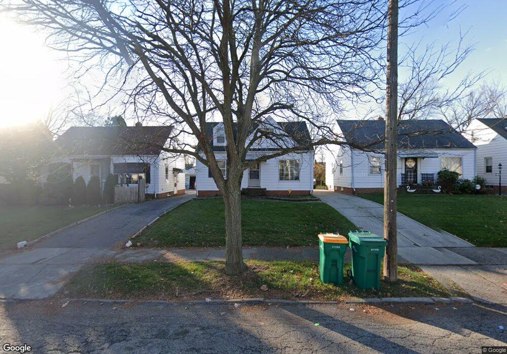
21510 Raymond St Maple Heights, OH 44137
Estimated Value: $103,000 - $124,000
3
Beds
1
Bath
1,080
Sq Ft
$101/Sq Ft
Est. Value
About This Home
This home is located at 21510 Raymond St, Maple Heights, OH 44137 and is currently estimated at $108,986, approximately $100 per square foot. 21510 Raymond St is a home located in Cuyahoga County with nearby schools including Abraham Lincoln Elementary School, Rockside/ J.F. Kennedy School, and Italy High School.
Ownership History
Date
Name
Owned For
Owner Type
Purchase Details
Closed on
Jul 29, 1994
Sold by
Rini Linda M
Bought by
Sprull Paula L
Current Estimated Value
Home Financials for this Owner
Home Financials are based on the most recent Mortgage that was taken out on this home.
Original Mortgage
$64,900
Interest Rate
8.41%
Mortgage Type
FHA
Purchase Details
Closed on
Feb 19, 1992
Sold by
Rini Linda M
Bought by
Rini Linda M
Purchase Details
Closed on
Jun 14, 1985
Sold by
Botos Margart
Bought by
Rini Linda M
Purchase Details
Closed on
Jan 24, 1985
Sold by
Dorony Nicholas
Bought by
Botos Margart
Purchase Details
Closed on
Dec 20, 1984
Sold by
Dorony Nicholas and Dorony Mary
Bought by
Dorony Nicholas
Purchase Details
Closed on
Jan 1, 1975
Bought by
Dorony Nicholas and Dorony Mary
Create a Home Valuation Report for This Property
The Home Valuation Report is an in-depth analysis detailing your home's value as well as a comparison with similar homes in the area
Home Values in the Area
Average Home Value in this Area
Purchase History
| Date | Buyer | Sale Price | Title Company |
|---|---|---|---|
| Sprull Paula L | $65,000 | -- | |
| Rini Linda M | $30,000 | -- | |
| Rini Linda M | $46,900 | -- | |
| Botos Margart | -- | -- | |
| Dorony Nicholas | -- | -- | |
| Dorony Nicholas | -- | -- |
Source: Public Records
Mortgage History
| Date | Status | Borrower | Loan Amount |
|---|---|---|---|
| Closed | Sprull Paula L | $64,900 |
Source: Public Records
Tax History Compared to Growth
Tax History
| Year | Tax Paid | Tax Assessment Tax Assessment Total Assessment is a certain percentage of the fair market value that is determined by local assessors to be the total taxable value of land and additions on the property. | Land | Improvement |
|---|---|---|---|---|
| 2024 | $2,807 | $30,520 | $7,000 | $23,520 |
| 2023 | $2,077 | $18,940 | $4,240 | $14,700 |
| 2022 | $2,069 | $18,940 | $4,240 | $14,700 |
| 2021 | $2,202 | $18,940 | $4,240 | $14,700 |
| 2020 | $1,890 | $14,350 | $3,220 | $11,130 |
| 2019 | $1,878 | $41,000 | $9,200 | $31,800 |
| 2018 | $1,752 | $14,350 | $3,220 | $11,130 |
| 2017 | $1,926 | $13,170 | $2,980 | $10,190 |
| 2016 | $1,716 | $13,170 | $2,980 | $10,190 |
| 2015 | $1,707 | $13,170 | $2,980 | $10,190 |
| 2014 | $1,707 | $14,460 | $3,260 | $11,200 |
Source: Public Records
Map
Nearby Homes
- 21207 Franklin Rd
- 21102 Raymond St
- 20907 Watson Rd
- 20814 Watson Rd
- 20715 Watson Rd
- 21416 Gardenview Dr
- 20814 Kenyon Dr
- 20701 Kenyon Dr
- 20510 Mountville Dr
- 20120 Mccracken Rd
- 5285 Mardale Ave
- 5301 Mardale Ave
- 20107 Libby Rd
- 19807 Gardenview Dr
- 22708 Jennings St
- 19806 Mountville Dr
- 20750 Bowling Green Rd
- 19812 Stockton Ave
- 4820 Green Rd
- 20732 Applegate Rd
- 21514 Raymond St
- 21506 Raymond St
- 21518 Raymond St
- 21502 Raymond St
- 21602 Raymond St
- 21418 Raymond St
- 21505 Franklin Rd
- 21507 Franklin Rd
- 21503 Franklin Rd
- 21509 Franklin Rd
- 21414 Raymond St
- 21601 Franklin Rd
- 21511 Raymond St
- 21515 Raymond St
- 21515 Raymond St Unit 284
- 21507 Raymond St
- 21407 Franklin Rd
- 21501 Franklin Rd
- 21519 Raymond St
- 21503 Raymond St