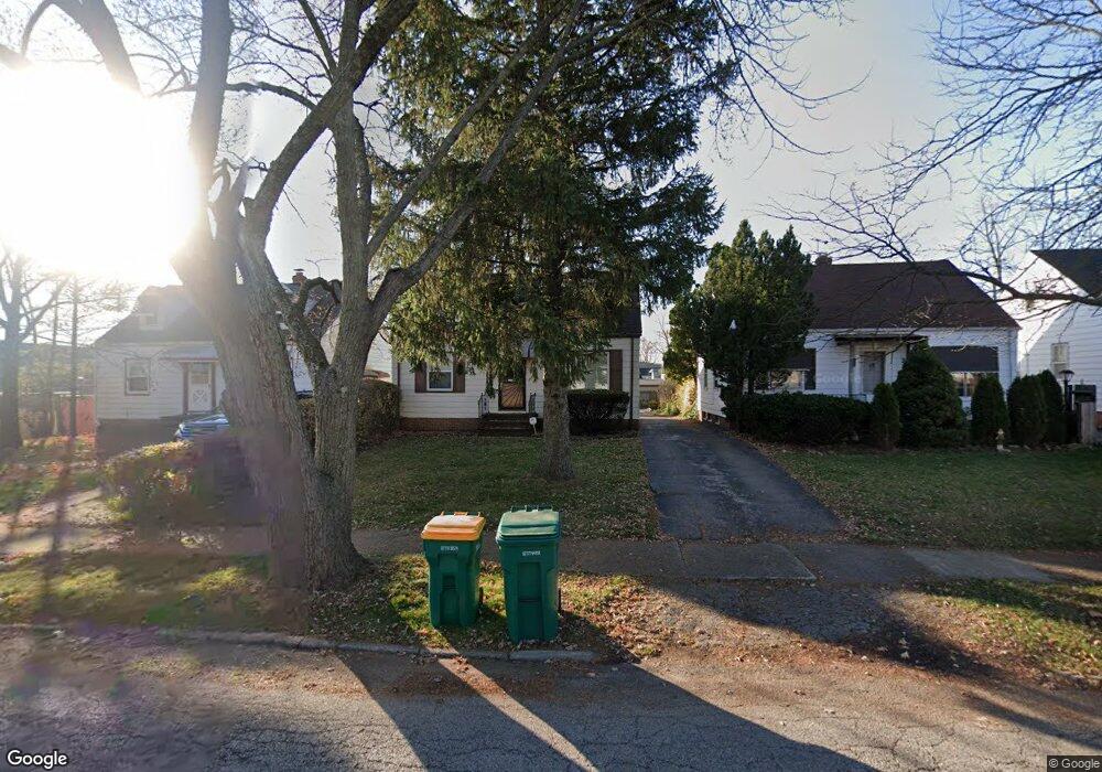
21518 Raymond St Maple Heights, OH 44137
Estimated Value: $104,000 - $125,000
3
Beds
2
Baths
1,158
Sq Ft
$97/Sq Ft
Est. Value
About This Home
This home is located at 21518 Raymond St, Maple Heights, OH 44137 and is currently estimated at $111,987, approximately $96 per square foot. 21518 Raymond St is a home located in Cuyahoga County with nearby schools including Abraham Lincoln Elementary School, Rockside/ J.F. Kennedy School, and Italy High School.
Ownership History
Date
Name
Owned For
Owner Type
Purchase Details
Closed on
Dec 18, 1989
Sold by
Tumino Anthony F and Tumino Therese
Bought by
Adams Phyllis Y
Current Estimated Value
Purchase Details
Closed on
Apr 2, 1985
Sold by
Tumino Anthony F
Bought by
Tumino Anthony F and Tumino Therese
Purchase Details
Closed on
Mar 7, 1978
Sold by
Clark Norman R and Clark Maureen C
Bought by
Tumino Anthony F
Purchase Details
Closed on
Jan 1, 1975
Bought by
Clark Norman R and Clark Maureen C
Create a Home Valuation Report for This Property
The Home Valuation Report is an in-depth analysis detailing your home's value as well as a comparison with similar homes in the area
Home Values in the Area
Average Home Value in this Area
Purchase History
| Date | Buyer | Sale Price | Title Company |
|---|---|---|---|
| Adams Phyllis Y | $54,000 | -- | |
| Tumino Anthony F | -- | -- | |
| Tumino Anthony F | $37,000 | -- | |
| Clark Norman R | -- | -- |
Source: Public Records
Tax History Compared to Growth
Tax History
| Year | Tax Paid | Tax Assessment Tax Assessment Total Assessment is a certain percentage of the fair market value that is determined by local assessors to be the total taxable value of land and additions on the property. | Land | Improvement |
|---|---|---|---|---|
| 2024 | $2,804 | $30,485 | $6,650 | $23,835 |
| 2023 | $2,159 | $19,850 | $4,030 | $15,820 |
| 2022 | $2,151 | $19,850 | $4,030 | $15,820 |
| 2021 | $2,290 | $19,850 | $4,030 | $15,820 |
| 2020 | $1,928 | $14,700 | $3,050 | $11,660 |
| 2019 | $1,916 | $42,000 | $8,700 | $33,300 |
| 2018 | $1,906 | $14,700 | $3,050 | $11,660 |
| 2017 | $1,815 | $13,550 | $2,800 | $10,750 |
| 2016 | $1,756 | $13,550 | $2,800 | $10,750 |
| 2015 | $1,748 | $13,550 | $2,800 | $10,750 |
| 2014 | $1,748 | $14,880 | $3,080 | $11,800 |
Source: Public Records
Map
Nearby Homes
- 21207 Franklin Rd
- 21102 Raymond St
- 20907 Watson Rd
- 20814 Watson Rd
- 21416 Gardenview Dr
- 20715 Watson Rd
- 20814 Kenyon Dr
- 20701 Kenyon Dr
- 5285 Mardale Ave
- 20510 Mountville Dr
- 5301 Mardale Ave
- 20120 Mccracken Rd
- 20107 Libby Rd
- 20750 Bowling Green Rd
- 19807 Gardenview Dr
- 19806 Mountville Dr
- 20732 Applegate Rd
- 22708 Jennings St
- 19812 Stockton Ave
- 20739 Donny Brook Rd
- 21602 Raymond St
- 21514 Raymond St
- 21510 Raymond St
- 21506 Raymond St
- 21509 Franklin Rd
- 21601 Franklin Rd
- 21507 Franklin Rd
- 21502 Raymond St
- 21505 Franklin Rd
- 21519 Raymond St
- 21515 Raymond St
- 21515 Raymond St Unit 284
- 21503 Franklin Rd
- 21511 Raymond St
- 21418 Raymond St
- 21507 Raymond St
- 21414 Raymond St
- 5080 Northfield Rd
- 21503 Raymond St
- 5070 Northfield Rd