Estimated Value: $402,000 - $513,000
4
Beds
2
Baths
2,430
Sq Ft
$181/Sq Ft
Est. Value
About This Home
This home is located at 2152 Apple Pie Ridge Rd, Alto, GA 30510 and is currently estimated at $439,562, approximately $180 per square foot. 2152 Apple Pie Ridge Rd is a home located in Banks County with nearby schools including Banks County Primary School, Banks County Elementary School, and Banks County Middle School.
Ownership History
Date
Name
Owned For
Owner Type
Purchase Details
Closed on
Jun 19, 2009
Sold by
Spivey Robert E
Bought by
Stevenson Joseph D and Stevenson Elisabeth K
Current Estimated Value
Home Financials for this Owner
Home Financials are based on the most recent Mortgage that was taken out on this home.
Original Mortgage
$190,976
Outstanding Balance
$120,273
Interest Rate
4.79%
Mortgage Type
FHA
Estimated Equity
$319,289
Create a Home Valuation Report for This Property
The Home Valuation Report is an in-depth analysis detailing your home's value as well as a comparison with similar homes in the area
Home Values in the Area
Average Home Value in this Area
Purchase History
| Date | Buyer | Sale Price | Title Company |
|---|---|---|---|
| Stevenson Joseph D | $194,500 | -- |
Source: Public Records
Mortgage History
| Date | Status | Borrower | Loan Amount |
|---|---|---|---|
| Open | Stevenson Joseph D | $190,976 |
Source: Public Records
Tax History Compared to Growth
Tax History
| Year | Tax Paid | Tax Assessment Tax Assessment Total Assessment is a certain percentage of the fair market value that is determined by local assessors to be the total taxable value of land and additions on the property. | Land | Improvement |
|---|---|---|---|---|
| 2025 | $2,778 | $154,526 | $22,906 | $131,620 |
| 2024 | $2,778 | $147,369 | $20,824 | $126,545 |
| 2023 | $2,864 | $115,093 | $26,774 | $88,319 |
| 2022 | $1,746 | $85,110 | $19,333 | $65,777 |
| 2021 | $1,633 | $75,084 | $14,657 | $60,427 |
| 2020 | $1,521 | $68,322 | $11,410 | $56,912 |
| 2019 | $1,528 | $68,322 | $11,410 | $56,912 |
| 2018 | $1,422 | $62,704 | $11,410 | $51,294 |
| 2017 | $1,408 | $59,628 | $9,454 | $50,174 |
| 2016 | $1,449 | $59,628 | $9,454 | $50,174 |
| 2015 | $1,383 | $59,627 | $9,454 | $50,174 |
| 2014 | $1,383 | $60,605 | $10,432 | $50,174 |
| 2013 | -- | $60,605 | $10,431 | $50,173 |
Source: Public Records
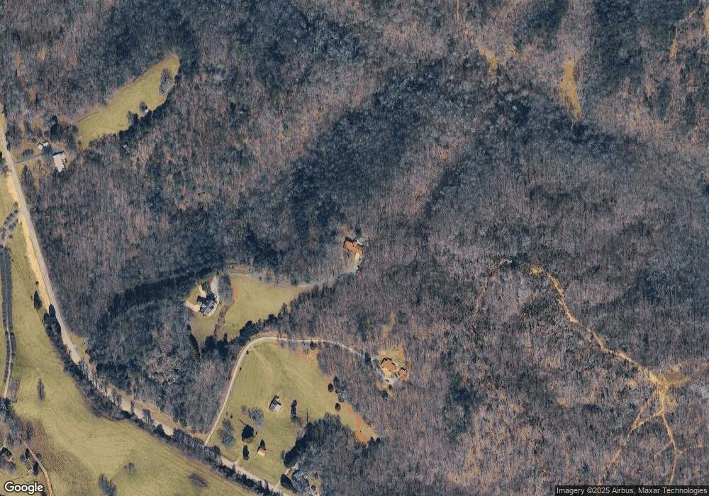
Map
Nearby Homes
- 2154 Apple Pie Ridge Rd
- 2484 Apple Pie Ridge Rd Unit 11 ACRES
- 39 Planters Creek Dr
- 41 Planters Creek Dr
- 603 Nix Rd
- 0 Planters Pointe Dr Unit 10636110
- 0 Planters Pointe Ln Unit 10620249
- 0 Planters Creek Dr Unit Lot 34 CM1024458
- 01 Planters Pointe Dr
- 133 Lakeview Walk
- 136 Lakeview Way
- 135 Oak Terrace Dr
- 117 Oak Terrace Dr
- 130 E Railroad Ave
- LOT 26 Whippoorwill Way
- 0 Baldwin Heights Rd Unit 10650492
- 111 Davison St
- 600 Ivory Dr
- LOT 6 Parker Point
- 0 Whippoorwill Terrace Unit 10552744
- 2154 Apple Pie Ridge Rd Unit TRACT 2
- 2144 Apple Pie Ridge Rd
- 2032 Apple Pie Ridge Rd
- 605 Apple Pie Ridge Rd
- 1999 Apple Pie Ridge Rd
- 2238 Apple Pie Ridge Rd
- 1988 Apple Pie Ridge Rd
- 1987 Apple Pie Ridge Rd
- 1981 Apple Pie Ridge Rd
- 2239 Apple Pie Ridge Rd
- 1950 Apple Pie Ridge Rd
- 2221 Apple Pie Ridge Rd
- 1911 Apple Pie Ridge Rd
- 125 Acorn Ln
- 132 Acorn Ln
- 2334 Apple Pie Ridge Rd
- 1914 Apple Pie Ridge Rd
- 305 Banks Ridge Dr
- 107 Acorn Ridge Dr
- 234 Acorn Ridge Dr