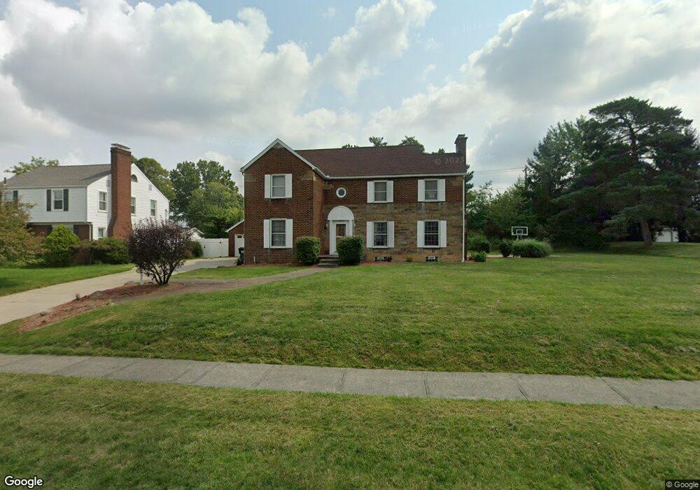
2152 Belleflower Dr Alliance, OH 44601
Estimated Value: $250,000 - $289,650
4
Beds
4
Baths
2,388
Sq Ft
$112/Sq Ft
Est. Value
About This Home
This home is located at 2152 Belleflower Dr, Alliance, OH 44601 and is currently estimated at $266,913, approximately $111 per square foot. 2152 Belleflower Dr is a home located in Stark County with nearby schools including Alliance Elementary School at Rockhill, Alliance Intermediate School at Northside, and Alliance Middle School.
Ownership History
Date
Name
Owned For
Owner Type
Purchase Details
Closed on
Aug 17, 2001
Sold by
Fultz Paula A
Bought by
Alihassan Sammeh
Current Estimated Value
Home Financials for this Owner
Home Financials are based on the most recent Mortgage that was taken out on this home.
Original Mortgage
$118,750
Outstanding Balance
$46,189
Interest Rate
7.11%
Mortgage Type
Stand Alone First
Estimated Equity
$220,724
Purchase Details
Closed on
May 12, 1999
Sold by
Fultz Floyd L
Bought by
Fultz Paula A
Purchase Details
Closed on
Jan 13, 1988
Create a Home Valuation Report for This Property
The Home Valuation Report is an in-depth analysis detailing your home's value as well as a comparison with similar homes in the area
Home Values in the Area
Average Home Value in this Area
Purchase History
| Date | Buyer | Sale Price | Title Company |
|---|---|---|---|
| Alihassan Sammeh | $125,500 | -- | |
| Fultz Paula A | -- | -- | |
| -- | $67,000 | -- |
Source: Public Records
Mortgage History
| Date | Status | Borrower | Loan Amount |
|---|---|---|---|
| Open | Alihassan Sammeh | $118,750 |
Source: Public Records
Tax History Compared to Growth
Tax History
| Year | Tax Paid | Tax Assessment Tax Assessment Total Assessment is a certain percentage of the fair market value that is determined by local assessors to be the total taxable value of land and additions on the property. | Land | Improvement |
|---|---|---|---|---|
| 2025 | -- | $81,380 | $20,830 | $60,550 |
| 2024 | -- | $81,380 | $20,830 | $60,550 |
| 2023 | $3,105 | $75,430 | $16,210 | $59,220 |
| 2022 | $3,125 | $75,430 | $16,210 | $59,220 |
| 2021 | $1,742 | $75,430 | $16,210 | $59,220 |
| 2020 | $2,784 | $64,230 | $14,070 | $50,160 |
| 2019 | $2,745 | $64,230 | $14,070 | $50,160 |
| 2018 | $2,758 | $64,230 | $14,070 | $50,160 |
| 2017 | $2,539 | $58,170 | $13,020 | $45,150 |
| 2016 | $2,524 | $57,370 | $12,220 | $45,150 |
| 2015 | $2,546 | $57,370 | $12,220 | $45,150 |
| 2014 | $440 | $52,330 | $11,130 | $41,200 |
| 2013 | $1,217 | $52,330 | $11,130 | $41,200 |
Source: Public Records
Map
Nearby Homes
- 2705 Shunk Ave
- 884 W College Rd
- 2372 S Union Ave
- 2405 Cherry Ave
- 1515 S Rockhill Ave
- 2839 S Rockhill Ave
- 549 Linwood Dr
- 1059 Oakwood Dr
- 112 E College St
- 236 E Milton St
- 317 E State St
- 3101 Ridgehill Ave
- 2460 S Arch Ave
- 2112 Blenheim Ave
- 1475 Chatauqua Ct
- 1321 Parkway Blvd
- 2195 Blenheim Ave
- 2408 S Linden Ave
- 390 E College St
- 1136 Parkway Blvd
- 2130 Belleflower Dr
- 2224 Belleflower Dr
- 2122 Belleflower Dr
- 2205 Shunk Ave
- 2135 Shunk Ave
- 2211 Shunk Ave
- 2139 Belleflower Dr
- 2161 Belleflower Dr
- 2121 Shunk Ave
- 2100 Belleflower Dr
- 2135 Belleflower Dr
- 2236 Belleflower Dr
- 2221 Shunk Ave
- 2223 Belleflower Dr
- 2121 Belleflower Dr
- 2107 Shunk Ave
- 2233 Shunk Ave
- 2248 Belleflower Dr
- 2235 Belleflower Dr
- 2109 Belleflower Dr