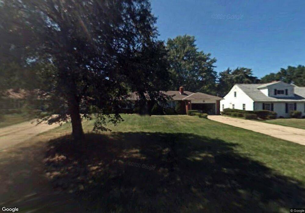
2152 Waynoka Rd Euclid, OH 44117
Estimated Value: $162,000 - $205,000
2
Beds
2
Baths
1,376
Sq Ft
$131/Sq Ft
Est. Value
About This Home
This home is located at 2152 Waynoka Rd, Euclid, OH 44117 and is currently estimated at $179,840, approximately $130 per square foot. 2152 Waynoka Rd is a home located in Cuyahoga County with nearby schools including Bluestone Elementary School, Euclid Middle School, and Euclid High School.
Ownership History
Date
Name
Owned For
Owner Type
Purchase Details
Closed on
Aug 23, 1993
Sold by
Sipin John M
Bought by
Ladd Alan L
Current Estimated Value
Purchase Details
Closed on
May 16, 1989
Sold by
Henfling Richard
Bought by
Sipin John M
Purchase Details
Closed on
May 18, 1984
Sold by
Petry John J and Petry M
Bought by
Henfling Richard
Purchase Details
Closed on
Jan 1, 1975
Bought by
Petry John J and Petry M
Create a Home Valuation Report for This Property
The Home Valuation Report is an in-depth analysis detailing your home's value as well as a comparison with similar homes in the area
Home Values in the Area
Average Home Value in this Area
Purchase History
| Date | Buyer | Sale Price | Title Company |
|---|---|---|---|
| Ladd Alan L | $95,000 | -- | |
| Sipin John M | $82,000 | -- | |
| Henfling Richard | $76,000 | -- | |
| Petry John J | -- | -- |
Source: Public Records
Tax History Compared to Growth
Tax History
| Year | Tax Paid | Tax Assessment Tax Assessment Total Assessment is a certain percentage of the fair market value that is determined by local assessors to be the total taxable value of land and additions on the property. | Land | Improvement |
|---|---|---|---|---|
| 2024 | $2,857 | $50,925 | $11,865 | $39,060 |
| 2023 | $2,369 | $36,090 | $9,280 | $26,810 |
| 2022 | $2,349 | $36,085 | $9,275 | $26,810 |
| 2021 | $2,605 | $36,090 | $9,280 | $26,810 |
| 2020 | $1,986 | $27,340 | $7,040 | $20,300 |
| 2019 | $1,783 | $78,100 | $20,100 | $58,000 |
| 2018 | $2,053 | $27,340 | $7,040 | $20,300 |
| 2017 | $2,505 | $22,130 | $5,570 | $16,560 |
| 2016 | $2,510 | $22,130 | $5,570 | $16,560 |
| 2015 | $2,286 | $22,130 | $5,570 | $16,560 |
| 2014 | $2,286 | $22,130 | $5,570 | $16,560 |
Source: Public Records
Map
Nearby Homes
- 2536 Greenvale Rd
- 4002 Lancaster Rd
- 2441 Malden Rd
- 4031 Suffolk Rd
- 2150 Glenridge Rd
- 220 Greenvale Rd
- 237 Greenbriar Ct Unit F237
- 209 Greenbriar Ct
- 3803 Bridgeview Dr
- 4188 Glenridge Rd
- 2337 Greenvale Rd
- 24 Washington Square
- 3757 Princeton Blvd
- 565 Quilliams Rd
- 3790 Sherwood Rd
- 19871 Upper Valley Dr
- 4019 Princeton Blvd
- 2217 Belvoir Blvd
- 3898 Salisbury Rd
- 24801 Highland Rd