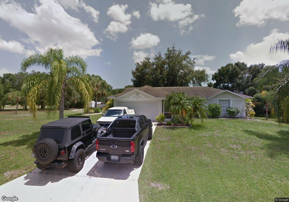
21523 Clinton Ave Port Charlotte, FL 33954
Estimated Value: $239,748 - $342,000
2
Beds
2
Baths
1,180
Sq Ft
$234/Sq Ft
Est. Value
About This Home
This home is located at 21523 Clinton Ave, Port Charlotte, FL 33954 and is currently estimated at $276,187, approximately $234 per square foot. 21523 Clinton Ave is a home located in Charlotte County with nearby schools including Kingsway Elementary School, Port Charlotte Middle School, and Port Charlotte High School.
Ownership History
Date
Name
Owned For
Owner Type
Purchase Details
Closed on
Aug 18, 2003
Sold by
Abrams Harold E
Bought by
Riedel Jeannette
Current Estimated Value
Purchase Details
Closed on
Aug 14, 2003
Sold by
Pendergrass Laquita Joy and Abrams Laquita Joy Pendergrass
Bought by
Abrams Harold
Purchase Details
Closed on
Nov 5, 2002
Sold by
Nastasi Lewis D
Bought by
Abrams Harold E
Purchase Details
Closed on
Jul 27, 2001
Sold by
Harasz Richard
Bought by
Abrams Harold E
Purchase Details
Closed on
Apr 30, 1996
Sold by
Osgood David K and Osgood Cheryl L
Bought by
Harasz Richard
Create a Home Valuation Report for This Property
The Home Valuation Report is an in-depth analysis detailing your home's value as well as a comparison with similar homes in the area
Home Values in the Area
Average Home Value in this Area
Purchase History
| Date | Buyer | Sale Price | Title Company |
|---|---|---|---|
| Riedel Jeannette | $124,900 | -- | |
| Abrams Harold | -- | -- | |
| Abrams Harold | -- | -- | |
| Abrams Harold E | $3,800 | -- | |
| Abrams Harold E | $69,000 | -- | |
| Harasz Richard | $62,000 | -- |
Source: Public Records
Tax History Compared to Growth
Tax History
| Year | Tax Paid | Tax Assessment Tax Assessment Total Assessment is a certain percentage of the fair market value that is determined by local assessors to be the total taxable value of land and additions on the property. | Land | Improvement |
|---|---|---|---|---|
| 2023 | $1,524 | $75,828 | $0 | $0 |
| 2022 | $1,523 | $73,619 | $0 | $0 |
| 2021 | $1,521 | $71,475 | $0 | $0 |
| 2020 | $1,479 | $70,488 | $0 | $0 |
| 2019 | $1,410 | $68,903 | $0 | $0 |
| 2018 | $1,315 | $67,618 | $0 | $0 |
| 2017 | $1,307 | $66,227 | $0 | $0 |
| 2016 | $1,303 | $64,865 | $0 | $0 |
| 2015 | $1,287 | $64,414 | $0 | $0 |
| 2014 | $1,259 | $63,903 | $0 | $0 |
Source: Public Records
Map
Nearby Homes
- 22049 Deborah Ave
- 22057 Deborah Ave
- 166 Birchcrest Blvd
- 234 Harbor Blvd
- 21464 Bingham Ave
- 140 Snowden St
- 338 Hyacinth St
- 22106 Deborah Ave
- 117 Independence St
- 142 Algonquin St
- 22220 Clinton Ave
- 22179 Clinton Ave
- 22106 Voltair Ave
- 22082 Deborah Ave
- 22105 Deborah Ave
- 22105 Scarsdale Ave
- 22116 Scarsdale Ave
- 21475 Argosy Ave
- 84 Birchcrest Blvd
- 109 Snedeker St
- 21524 Voltair Ave
- 21515 Clinton Ave
- 254 Birchcrest Blvd
- 21507 Clinton Ave
- 22010 Clinton Ave
- 21499 Clinton Ave
- 21535 Voltair Ave
- 21500 Voltair Ave
- 21515 Voltair Ave
- 22018 Clinton Ave
- 22009 Deborah Ave
- 21499 Voltair Ave
- 21536 Seaton Ave
- 22026 Clinton Ave
- 22026 Voltair Ave
- 21483 Clinton Ave
- 198 Birchcrest Blvd
- 22033 Clinton Ave
- 21508 Seaton Ave
- 21476 Voltair Ave