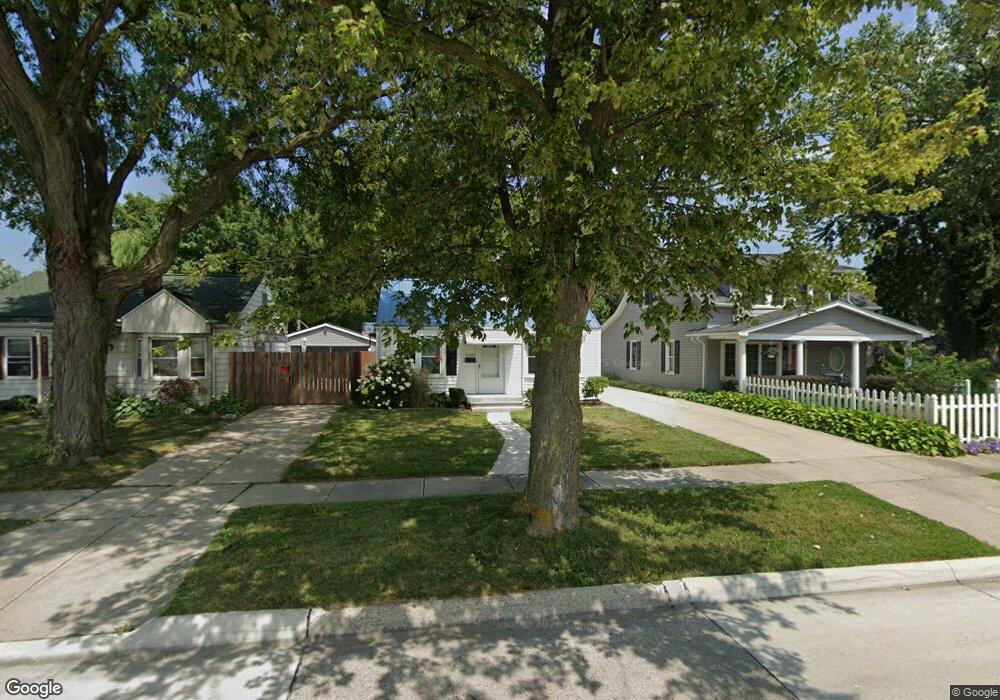
21527 Maxine St Saint Clair Shores, MI 48080
Estimated Value: $116,000 - $160,000
2
Beds
1
Bath
700
Sq Ft
$197/Sq Ft
Est. Value
About This Home
This home is located at 21527 Maxine St, Saint Clair Shores, MI 48080 and is currently estimated at $138,094, approximately $197 per square foot. 21527 Maxine St is a home located in Macomb County with nearby schools including South Lake Middle School, South Lake High School, and St. Joan of Arc Elementary School.
Ownership History
Date
Name
Owned For
Owner Type
Purchase Details
Closed on
Sep 14, 2021
Sold by
Falls Michael
Bought by
A Fund Llc
Current Estimated Value
Purchase Details
Closed on
Feb 9, 2007
Sold by
Mart Van Properties Llc
Bought by
Falls Michael
Purchase Details
Closed on
Jan 28, 2004
Sold by
Chinoski Beatrice L and Chinoski George
Bought by
Mart Van Properties Llc
Purchase Details
Closed on
Nov 24, 1999
Sold by
Primozic Ferdinand
Bought by
Chinoski George
Create a Home Valuation Report for This Property
The Home Valuation Report is an in-depth analysis detailing your home's value as well as a comparison with similar homes in the area
Home Values in the Area
Average Home Value in this Area
Purchase History
| Date | Buyer | Sale Price | Title Company |
|---|---|---|---|
| A Fund Llc | $74,000 | None Available | |
| Falls Michael | $83,500 | Metropolitan Title Company | |
| Mart Van Properties Llc | $90,000 | Metropolitan Title Company | |
| Chinoski George | $75,000 | -- |
Source: Public Records
Tax History Compared to Growth
Tax History
| Year | Tax Paid | Tax Assessment Tax Assessment Total Assessment is a certain percentage of the fair market value that is determined by local assessors to be the total taxable value of land and additions on the property. | Land | Improvement |
|---|---|---|---|---|
| 2025 | $2,764 | $63,700 | $0 | $0 |
| 2024 | $2,764 | $56,400 | $0 | $0 |
| 2023 | $2,634 | $50,100 | $0 | $0 |
| 2022 | $2,500 | $38,000 | $0 | $0 |
| 2021 | $1,783 | $47,600 | $0 | $0 |
| 2020 | $1,430 | $44,300 | $0 | $0 |
| 2019 | $979 | $33,300 | $0 | $0 |
| 2018 | $1,422 | $24,700 | $0 | $0 |
| 2017 | $1,166 | $23,400 | $5,200 | $18,200 |
| 2016 | $979 | $23,400 | $0 | $0 |
| 2015 | $963 | $20,500 | $0 | $0 |
| 2012 | -- | $19,800 | $6,200 | $13,600 |
Source: Public Records
Map
Nearby Homes
- 20707 Elizabeth St
- 20615 California St
- 20690 California St
- 21715 Alger St
- 22843 Grove St Unit 47
- 22859 Grove St Unit 53
- 20608 Rosedale St
- 22026 Alger St
- 22121 Englehardt St
- 22109 Alger St
- 20618 Sunnyside St
- 22035 Sunnyside St
- 20505 Shady Lane Ave
- 22305 Alger St
- 20308 Shady Lane Ave
- 22401 Alger St
- 19916 Alger St
- 21716 Lakeview St
- 21751 Edmunton St
- 20406 Mauer St
- 21525 Maxine St Unit Bldg-Unit
- 21525 Maxine St
- 21531 Maxine St
- 21605 Maxine St
- 21611 Maxine St
- 21532 Elizabeth St
- 21600 Elizabeth St
- 21530 Elizabeth St
- 21604 Elizabeth St
- 21617 Maxine St
- 21608 Elizabeth St
- 21518 Elizabeth St
- 22414 Harper Ave
- 21612 Elizabeth St
- 22442 Harper Ave
- 22518 Harper Ave
- 21630 Elizabeth St
- 22506 Harper Ave
- 21711 Maxine St
- 22336 Harper Ave