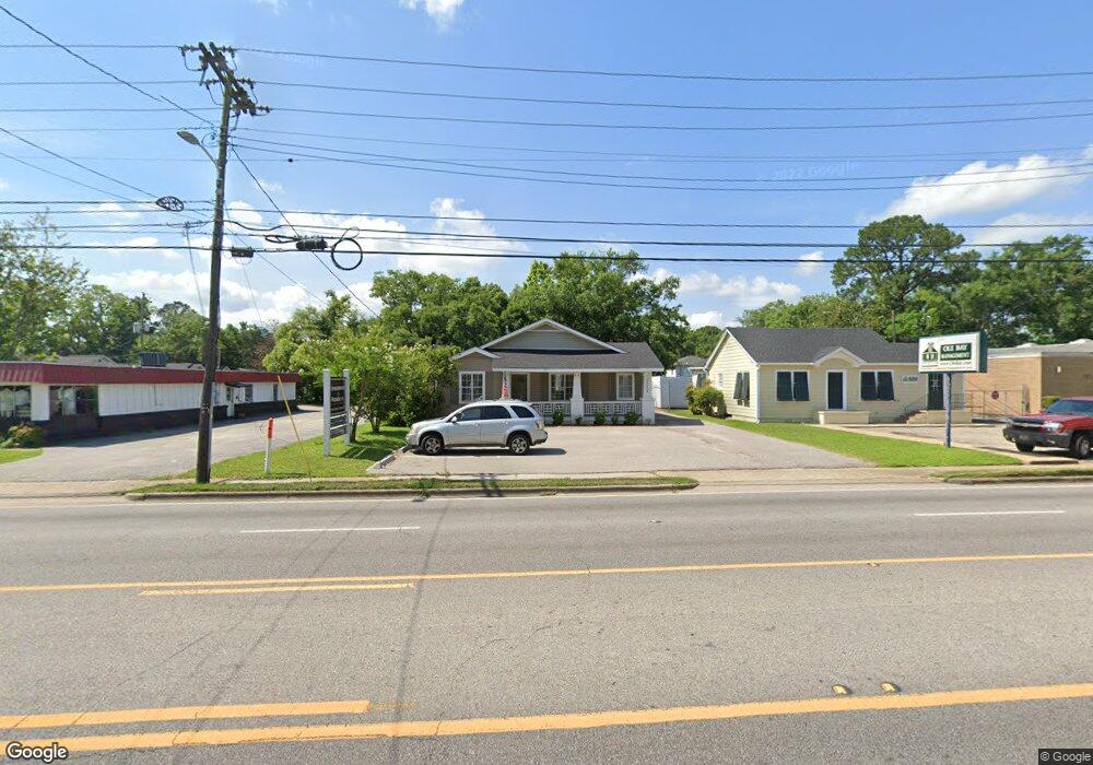
2153 Airport Blvd Mobile, AL 36606
Midtown Mobile NeighborhoodEstimated Value: $221,943
--
Bed
1
Bath
1,919
Sq Ft
$116/Sq Ft
Est. Value
About This Home
This home is located at 2153 Airport Blvd, Mobile, AL 36606 and is currently estimated at $221,943, approximately $115 per square foot. 2153 Airport Blvd is a home located in Mobile County with nearby schools including Leinkauf Elementary School, Williamson High School, and Little Flower Catholic School.
Ownership History
Date
Name
Owned For
Owner Type
Purchase Details
Closed on
Oct 17, 2018
Sold by
Burkholder Paul H and Burkholder Ann W
Bought by
Airport 2153 Llc
Current Estimated Value
Home Financials for this Owner
Home Financials are based on the most recent Mortgage that was taken out on this home.
Original Mortgage
$144,000
Outstanding Balance
$125,577
Interest Rate
4.5%
Mortgage Type
Construction
Estimated Equity
$96,366
Purchase Details
Closed on
Aug 12, 2009
Sold by
Burkholder Paul H and Burkholder Ann W
Bought by
Burkholder Paul H and Burkholder Ann W
Purchase Details
Closed on
Mar 30, 1999
Sold by
Burkholder Paul H and Burkholder Ann W
Bought by
Burkholder Paul H
Create a Home Valuation Report for This Property
The Home Valuation Report is an in-depth analysis detailing your home's value as well as a comparison with similar homes in the area
Home Values in the Area
Average Home Value in this Area
Purchase History
| Date | Buyer | Sale Price | Title Company |
|---|---|---|---|
| Airport 2153 Llc | $180,000 | Surety Land Title | |
| Burkholder Paul H | $150,000 | None Available | |
| Burkholder Paul H | -- | -- |
Source: Public Records
Mortgage History
| Date | Status | Borrower | Loan Amount |
|---|---|---|---|
| Open | Airport 2153 Llc | $144,000 |
Source: Public Records
Tax History Compared to Growth
Tax History
| Year | Tax Paid | Tax Assessment Tax Assessment Total Assessment is a certain percentage of the fair market value that is determined by local assessors to be the total taxable value of land and additions on the property. | Land | Improvement |
|---|---|---|---|---|
| 2024 | $1,865 | $32,840 | $10,640 | $22,200 |
| 2023 | $2,132 | $29,980 | $10,640 | $19,340 |
| 2022 | $1,382 | $36,140 | $9,240 | $26,900 |
| 2021 | $1,382 | $32,300 | $5,400 | $26,900 |
| 2020 | $1,382 | $32,940 | $5,400 | $27,540 |
| 2019 | $1,316 | $20,720 | $5,400 | $15,320 |
| 2018 | $1,316 | $20,720 | $0 | $0 |
| 2017 | $1,316 | $20,720 | $0 | $0 |
| 2016 | $1,294 | $20,380 | $0 | $0 |
| 2013 | $1,223 | $18,720 | $0 | $0 |
Source: Public Records
Map
Nearby Homes
- 312 Glenwood St
- 417 Crenshaw St
- 419 Crenshaw St
- 559 Westwood St
- 449 Williams St
- 556 Seminole St
- 1958 Myrtle Ave
- 552 Glenwood St
- 567 Seminole St
- 255 Pinehill Dr
- 570 Clarke St
- 503 Dauphin Island Pkwy
- 167 Crenshaw St
- 603 Mohawk St
- 206 Morgan Ave
- 571 Glenwood St
- 216 Pinehill Dr
- 1961 Duncan St
- 160 Westwood St
- 208 Pinehill Dr
- 2155 Airport Blvd
- 2202 Saint Teresa St
- 2204 Saint Teresa St
- 2204 Saint Teresa St Unit A
- 2204 Saint Teresa St Unit B
- 306 Mohawk St
- 2156 Airport Blvd
- 2154 Airport Blvd
- 2206 Saint Teresa St
- 2103 Airport Blvd
- 2158 Airport Blvd
- 2158 Airport Blvd
- 2152 Airport Blvd
- 2152 Airport Blvd Unit 103
- 2152 Airport Blvd Unit 101
- 2152 Airport Blvd Unit 104
- 305 Mohawk St
- 2208 Saint Teresa St
- 307 Mohawk St
- 2210 Saint Teresa St