2153 Highway 27 S Mount Ida, AR 71957
Estimated Value: $270,000 - $328,106
Studio
2
Baths
1,752
Sq Ft
$169/Sq Ft
Est. Value
About This Home
This home is located at 2153 Highway 27 S, Mount Ida, AR 71957 and is currently estimated at $296,277, approximately $169 per square foot. 2153 Highway 27 S is a home located in Montgomery County with nearby schools including Bobby Barrett Elementary and Mount Ida High School.
Ownership History
Date
Name
Owned For
Owner Type
Purchase Details
Closed on
Jul 27, 2023
Sold by
Secretary Of Veterans Affairs
Bought by
Richardson Amanda L and Richardson Donald E
Current Estimated Value
Purchase Details
Closed on
Mar 29, 2023
Sold by
Freedom Mortgage Corporation
Bought by
Secretary Of Veterans Affairs
Purchase Details
Closed on
Mar 13, 2023
Sold by
Goldstein Billie Jean
Bought by
Freedom Mortgage Corporation
Purchase Details
Closed on
May 8, 2006
Bought by
Brazo John E and Beverly Ann
Purchase Details
Closed on
Sep 1, 2005
Bought by
Keough John R and Keough Margaret Y
Purchase Details
Closed on
Sep 28, 1992
Bought by
Keough John D
Purchase Details
Closed on
Nov 15, 1991
Bought by
Keough John R and Keough Margaret
Create a Home Valuation Report for This Property
The Home Valuation Report is an in-depth analysis detailing your home's value as well as a comparison with similar homes in the area
Purchase History
| Date | Buyer | Sale Price | Title Company |
|---|---|---|---|
| Richardson Amanda L | $249,000 | None Listed On Document | |
| Secretary Of Veterans Affairs | -- | None Listed On Document | |
| Freedom Mortgage Corporation | -- | -- | |
| Brazo John E | $155,000 | -- | |
| Keough John R | -- | -- | |
| Keough John D | -- | -- | |
| Keough John R | $33,000 | -- |
Source: Public Records
Tax History
| Year | Tax Paid | Tax Assessment Tax Assessment Total Assessment is a certain percentage of the fair market value that is determined by local assessors to be the total taxable value of land and additions on the property. | Land | Improvement |
|---|---|---|---|---|
| 2025 | $1,455 | $34,780 | $2,590 | $32,190 |
| 2024 | $1,460 | $34,780 | $2,590 | $32,190 |
| 2023 | $1,137 | $34,780 | $2,590 | $32,190 |
| 2022 | $1,047 | $24,600 | $2,730 | $21,870 |
| 2021 | $1,047 | $24,600 | $2,730 | $21,870 |
| 2020 | $1,047 | $24,600 | $2,730 | $21,870 |
| 2019 | $1,041 | $24,600 | $2,730 | $21,870 |
| 2018 | $1,047 | $24,600 | $2,730 | $21,870 |
| 2017 | $284 | $27,830 | $2,190 | $25,640 |
| 2016 | $284 | $27,830 | $2,190 | $25,640 |
| 2014 | $284 | $27,830 | $2,190 | $25,640 |
Source: Public Records
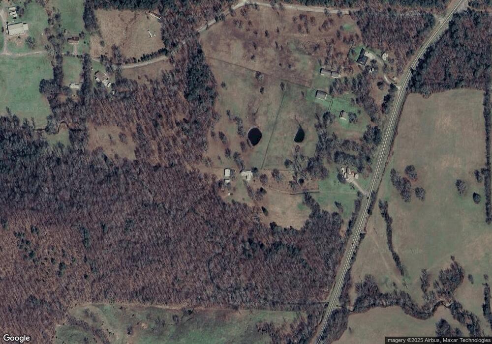
Map
Nearby Homes
- 2153 S Hwy 27
- 159 Stroope Ln
- S Hwy 27
- 2101 Highway 27 S
- 196 Stroope Ln
- 2295 Arkansas 27
- 2295 Highway 27 S
- 244 Stroope Ln
- 2349 Highway 27 S
- 2349 Highway 27 S
- 2393 Highway 27 S
- 1980 Highway 27 S
- 1965 Highway 27 S
- 111 Brady Ln
- 112 Owley Rd
- 129 Lybrand Rd
- 83 Lybrand Rd
- 57 Lybrand Rd
- 118 Lybrand Rd
- 84 Lybrand Rd
Your Personal Tour Guide
Ask me questions while you tour the home.