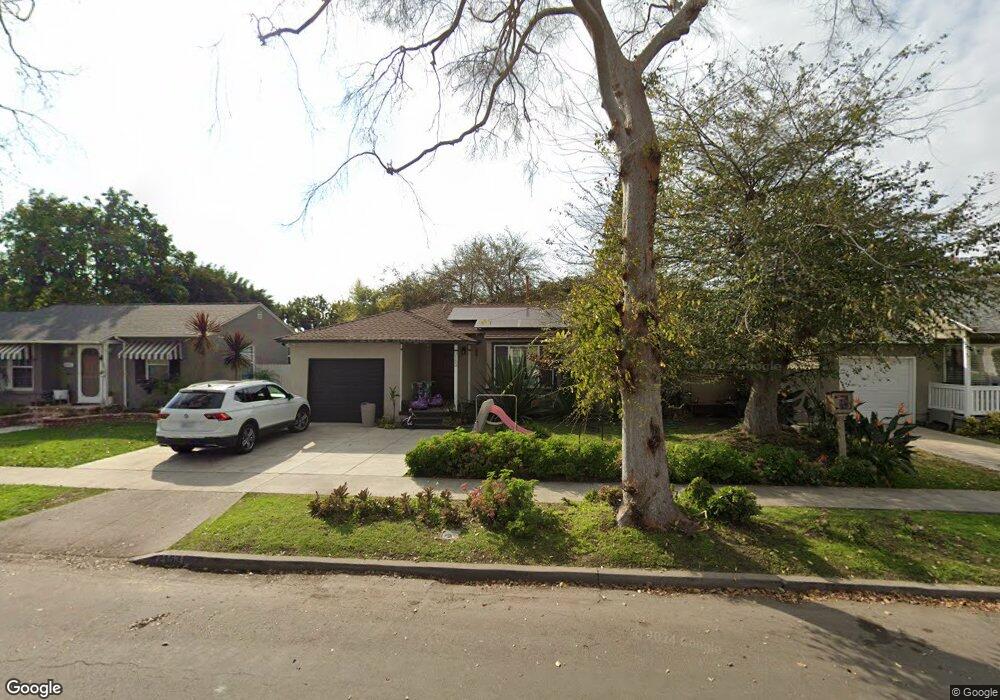
2153 Montair Ave Long Beach, CA 90815
Los Altos South NeighborhoodEstimated Value: $850,790 - $935,000
2
Beds
1
Bath
864
Sq Ft
$1,031/Sq Ft
Est. Value
About This Home
This home is located at 2153 Montair Ave, Long Beach, CA 90815 and is currently estimated at $890,698, approximately $1,030 per square foot. 2153 Montair Ave is a home located in Los Angeles County with nearby schools including Bixby Elementary School, Stanford Middle School, and Woodrow Wilson High School.
Ownership History
Date
Name
Owned For
Owner Type
Purchase Details
Closed on
Sep 1, 2000
Sold by
Asano Yoshiko
Bought by
Shmagin Jon
Current Estimated Value
Home Financials for this Owner
Home Financials are based on the most recent Mortgage that was taken out on this home.
Original Mortgage
$165,000
Outstanding Balance
$56,345
Interest Rate
7.98%
Estimated Equity
$834,353
Purchase Details
Closed on
Aug 1, 1994
Sold by
Hirt Ronald
Bought by
Asano Yoshiko
Home Financials for this Owner
Home Financials are based on the most recent Mortgage that was taken out on this home.
Original Mortgage
$151,000
Interest Rate
8.8%
Create a Home Valuation Report for This Property
The Home Valuation Report is an in-depth analysis detailing your home's value as well as a comparison with similar homes in the area
Home Values in the Area
Average Home Value in this Area
Purchase History
We collect this data history from publicly available records. To have your information removed, we recommend requesting removal directly through your county’s website.
| Date | Buyer | Sale Price | Title Company |
|---|---|---|---|
| Shmagin Jon | $210,000 | Commonwealth Land Title Co | |
| Asano Yoshiko | $168,000 | North American Title Company |
Source: Public Records
Mortgage History
We collect this data history from publicly available records. To have your information removed, we recommend requesting removal directly through your county’s website.
| Date | Status | Borrower | Loan Amount |
|---|---|---|---|
| Open | Shmagin Jon | $165,000 | |
| Previous Owner | Asano Yoshiko | $151,000 |
Source: Public Records
Tax History
| Year | Tax Paid | Tax Assessment Tax Assessment Total Assessment is a certain percentage of the fair market value that is determined by local assessors to be the total taxable value of land and additions on the property. | Land | Improvement |
|---|---|---|---|---|
| 2025 | $4,351 | $319,741 | $253,138 | $66,603 |
| 2024 | $4,159 | $313,473 | $248,175 | $65,298 |
| 2023 | $4,086 | $307,327 | $243,309 | $64,018 |
| 2022 | $3,835 | $301,302 | $238,539 | $62,763 |
| 2021 | $3,755 | $295,395 | $233,862 | $61,533 |
| 2019 | $3,697 | $286,636 | $226,927 | $59,709 |
| 2018 | $3,583 | $281,017 | $222,478 | $58,539 |
| 2016 | $3,295 | $270,107 | $213,840 | $56,267 |
| 2015 | $3,164 | $266,050 | $210,628 | $55,422 |
| 2014 | $3,144 | $260,840 | $206,503 | $54,337 |
Source: Public Records
Map
Nearby Homes
- 2171 Stearnlee Ave
- 2178 Tulane Ave
- 5449 E Fairbrook St
- 5469 E Garford St
- 2064 Fidler Ave
- 2038 San Anseline Ave
- 1901 N Bellflower Blvd
- 2120 Clark Ave
- 1873 Marber Ave
- 2400 Terraine Ave
- 2425 Heather Ave
- 2430 Marber Ave
- 2221 Granada Ave
- 5300 E Atherton St Unit 2F
- 5180 E Atherton St
- 5260 E Atherton St Unit 146
- 5200 E Atherton St Unit 123
- 5200 E Atherton St Unit 108
- 5140 E Atherton St Unit 9
- 5140 E Atherton St Unit 6
- 2147 Montair Ave
- 2141 Montair Ave
- 2148 Stearnlee Ave
- 2135 Montair Ave
- 2157 Montair Ave
- 2142 Stearnlee Ave
- 2154 Stearnlee Ave
- 2138 Stearnlee Ave
- 2160 Stearnlee Ave
- 2131 Montair Ave
- 2163 Montair Ave
- 2140 Montair Ave
- 2146 Montair Ave
- 2134 Montair Ave
- 2132 Stearnlee Ave
- 2164 Stearnlee Ave
- 2152 Montair Ave
- 2128 Montair Ave
- 2125 Montair Ave
- 2169 Montair Ave
Your Personal Tour Guide
Ask me questions while you tour the home.