2153 Us Highway 319 S Thomasville, GA 31792
Estimated Value: $259,000 - $2,770,360
--
Bed
1
Bath
1,159
Sq Ft
$1,307/Sq Ft
Est. Value
About This Home
This home is located at 2153 Us Highway 319 S, Thomasville, GA 31792 and is currently estimated at $1,514,680, approximately $1,306 per square foot. 2153 Us Highway 319 S is a home located in Thomas County with nearby schools including Hand in Hand Primary School, Garrison-Pilcher Elementary School, and Cross Creek Elementary School.
Ownership History
Date
Name
Owned For
Owner Type
Purchase Details
Closed on
Nov 16, 2017
Sold by
Rest Anthony Jonklaas 2013
Bought by
Pebble Hill Foundation Inc
Current Estimated Value
Purchase Details
Closed on
Aug 16, 2017
Sold by
Jonklaas Anthony
Bought by
Schafer Julian B and Schafer Gilbert P
Purchase Details
Closed on
May 31, 2005
Sold by
Jonklaas Anthony
Bought by
Jonklaas Anthony
Purchase Details
Closed on
May 31, 1983
Bought by
Jonklaas Claire B
Create a Home Valuation Report for This Property
The Home Valuation Report is an in-depth analysis detailing your home's value as well as a comparison with similar homes in the area
Home Values in the Area
Average Home Value in this Area
Purchase History
| Date | Buyer | Sale Price | Title Company |
|---|---|---|---|
| Pebble Hill Foundation Inc | -- | -- | |
| Schafer Julian B | -- | -- | |
| Jonklaas Anthony | -- | -- | |
| Jonklaas Claire B | -- | -- |
Source: Public Records
Tax History Compared to Growth
Tax History
| Year | Tax Paid | Tax Assessment Tax Assessment Total Assessment is a certain percentage of the fair market value that is determined by local assessors to be the total taxable value of land and additions on the property. | Land | Improvement |
|---|---|---|---|---|
| 2024 | $6,429 | $784,913 | $588,383 | $196,530 |
| 2023 | $5,923 | $761,273 | $579,344 | $181,929 |
| 2022 | $6,028 | $741,174 | $579,344 | $161,830 |
| 2021 | $5,938 | $641,125 | $503,574 | $137,551 |
| 2020 | $5,891 | $635,915 | $503,574 | $132,341 |
| 2019 | $5,890 | $635,915 | $503,574 | $132,341 |
| 2018 | $5,879 | $633,417 | $503,574 | $129,843 |
| 2017 | $0 | $599,070 | $472,818 | $126,252 |
| 2016 | $5,397 | $596,370 | $472,818 | $123,552 |
| 2015 | $5,367 | $594,446 | $472,818 | $121,628 |
| 2014 | $5,260 | $591,885 | $472,818 | $119,067 |
| 2013 | -- | $591,885 | $472,818 | $119,067 |
Source: Public Records
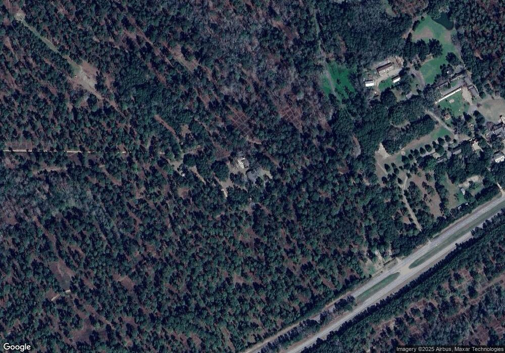
Map
Nearby Homes
- 333 Shallowbrook Farms Rd
- 131 Pheasant Ridge
- 10087 Springhill Rd
- 10119 Springhill Rd
- 396 Meander Trace
- Lot 25 A Avalon Way Unit 25-A
- 304 Bellingham Dr
- 122 Avalon Way
- 107 Hiding Place
- 6908 Metcalf Rd
- 104 Stratford Way
- 212 Acacia Blvd
- 22 Inwood Place
- 169 Acacia Blvd
- 6358 S Us Hwy 319
- 401 Habersham Rd
- 407 Braunson St
- 420 Woodlands Blvd
- 113 Harrogate Ln
- 00 Harrogate Ln