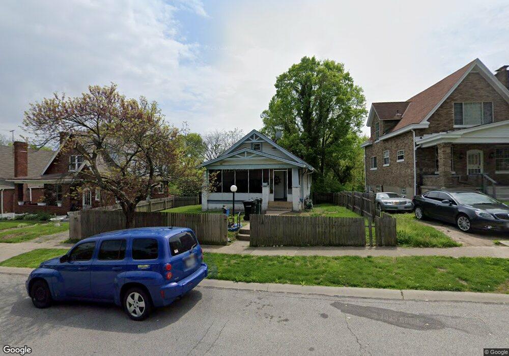
2153 Weron Ln Cincinnati, OH 45225
East Westwood NeighborhoodEstimated Value: $78,767 - $139,000
2
Beds
1
Bath
958
Sq Ft
$108/Sq Ft
Est. Value
About This Home
This home is located at 2153 Weron Ln, Cincinnati, OH 45225 and is currently estimated at $103,692, approximately $108 per square foot. 2153 Weron Ln is a home located in Hamilton County with nearby schools including Western Hills High School, Gilbert A. Dater High School, and Robert A. Taft Information Technology High School.
Ownership History
Date
Name
Owned For
Owner Type
Purchase Details
Closed on
Aug 16, 2020
Sold by
Cowart Amber
Bought by
Cowart Amber and Odoms Ethan
Current Estimated Value
Purchase Details
Closed on
Sep 10, 2019
Sold by
Cowart Amber and Odoms Niambi
Bought by
Cowart Amber
Purchase Details
Closed on
Aug 18, 2018
Sold by
Estate Of Vivian Jean Lowart
Bought by
Lowart Amber
Purchase Details
Closed on
Oct 28, 1994
Sold by
Cowart Gene A
Bought by
Cowart Gene A and Cowart Vivian Jean
Create a Home Valuation Report for This Property
The Home Valuation Report is an in-depth analysis detailing your home's value as well as a comparison with similar homes in the area
Home Values in the Area
Average Home Value in this Area
Purchase History
| Date | Buyer | Sale Price | Title Company |
|---|---|---|---|
| Cowart Amber | -- | None Available | |
| Cowart Amber | -- | None Available | |
| Lowart Amber | -- | None Available | |
| Cowart Gene A | -- | -- |
Source: Public Records
Tax History
| Year | Tax Paid | Tax Assessment Tax Assessment Total Assessment is a certain percentage of the fair market value that is determined by local assessors to be the total taxable value of land and additions on the property. | Land | Improvement |
|---|---|---|---|---|
| 2025 | $669 | $10,186 | $1,348 | $8,838 |
| 2023 | $669 | $10,186 | $1,348 | $8,838 |
| 2022 | $381 | $5,086 | $882 | $4,204 |
| 2021 | $368 | $5,086 | $882 | $4,204 |
| 2020 | $369 | $5,086 | $882 | $4,204 |
| 2019 | $392 | $4,939 | $858 | $4,081 |
| 2018 | $392 | $4,939 | $858 | $4,081 |
| 2017 | $377 | $4,939 | $858 | $4,081 |
| 2016 | $430 | $5,517 | $1,418 | $4,099 |
| 2015 | $386 | $5,517 | $1,418 | $4,099 |
| 2014 | $388 | $5,517 | $1,418 | $4,099 |
| 2013 | $581 | $8,236 | $2,118 | $6,118 |
Source: Public Records
Map
Nearby Homes
- 2352 Iroll Ave
- 2163 Baltimore Ave
- 2183 Westwood Northern Blvd
- 3521 Mchenry Ave
- 3519 Mchenry Ave
- 1970 Westwood Northern Blvd
- 3384 Ninann Ct
- 3295 Fyffe Ave
- 3312 Mchenry Ave
- 256 Nottingham Rd
- 1965 Baltimore Ave
- 1817 Elmore St
- 3923 Cass Ave
- 2424 Westwood Northern Blvd
- 1932 Powers St
- 1930 Powers St
- 1915 W Fork Rd
- 3813 Borden St
- 2085 N Teralta Cir
- 3836 Llewellyn Ave
Your Personal Tour Guide
Ask me questions while you tour the home.