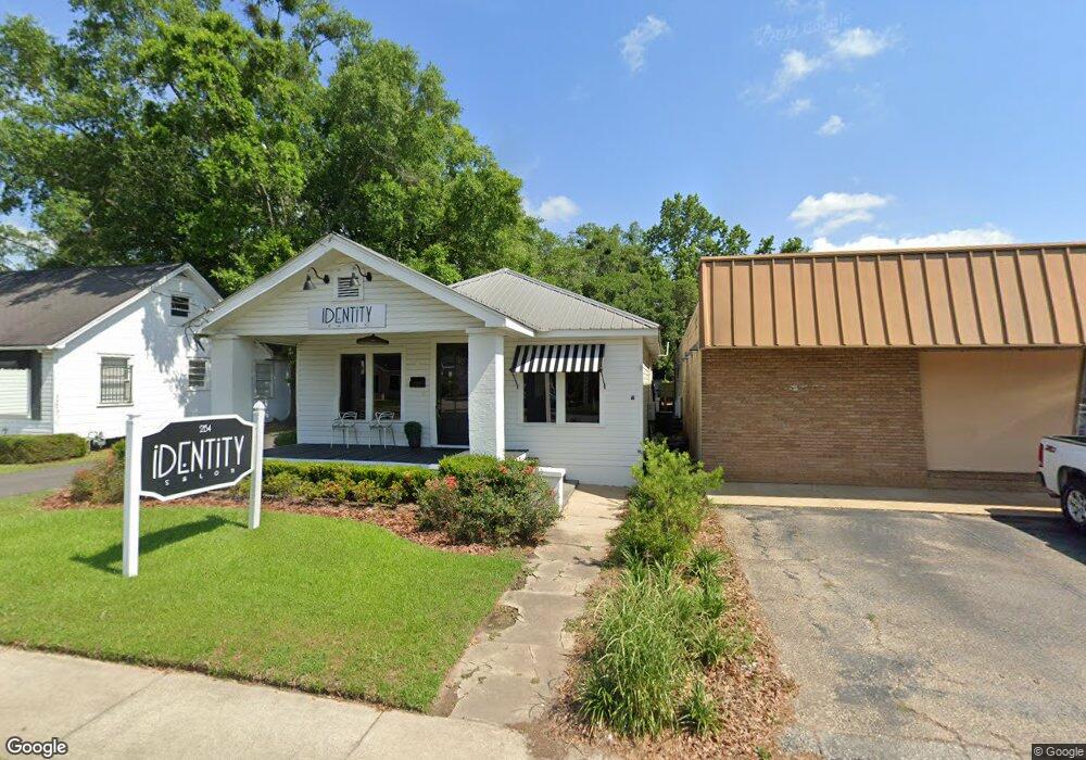
2154 Airport Blvd Mobile, AL 36606
Midtown Mobile NeighborhoodEstimated Value: $302,026
--
Bed
1
Bath
1,342
Sq Ft
$225/Sq Ft
Est. Value
About This Home
This home is located at 2154 Airport Blvd, Mobile, AL 36606 and is currently estimated at $302,026, approximately $225 per square foot. 2154 Airport Blvd is a home located in Mobile County with nearby schools including Leinkauf Elementary School, Booker T. Washington Middle School, and Murphy High School.
Ownership History
Date
Name
Owned For
Owner Type
Purchase Details
Closed on
Oct 15, 2009
Sold by
Carrio Kenneth J
Bought by
Morris R Kyle
Current Estimated Value
Purchase Details
Closed on
Dec 12, 2003
Sold by
Cain Hubert C and Cain Andrea P
Bought by
Carrio Kenneth J
Home Financials for this Owner
Home Financials are based on the most recent Mortgage that was taken out on this home.
Original Mortgage
$117,000
Interest Rate
5.97%
Mortgage Type
Commercial
Purchase Details
Closed on
Aug 19, 1999
Sold by
Amsouth Bank
Bought by
Cain Hubert C and Cain Andrea P
Create a Home Valuation Report for This Property
The Home Valuation Report is an in-depth analysis detailing your home's value as well as a comparison with similar homes in the area
Home Values in the Area
Average Home Value in this Area
Purchase History
| Date | Buyer | Sale Price | Title Company |
|---|---|---|---|
| Morris R Kyle | -- | None Available | |
| Carrio Kenneth J | $130,000 | Surety Land Title Inc | |
| Cain Hubert C | $36,000 | -- |
Source: Public Records
Mortgage History
| Date | Status | Borrower | Loan Amount |
|---|---|---|---|
| Previous Owner | Carrio Kenneth J | $117,000 |
Source: Public Records
Tax History Compared to Growth
Tax History
| Year | Tax Paid | Tax Assessment Tax Assessment Total Assessment is a certain percentage of the fair market value that is determined by local assessors to be the total taxable value of land and additions on the property. | Land | Improvement |
|---|---|---|---|---|
| 2024 | $2,027 | $36,100 | $9,020 | $27,080 |
| 2023 | $2,332 | $27,760 | $9,020 | $18,740 |
| 2022 | $1,499 | $26,580 | $7,840 | $18,740 |
| 2021 | $1,499 | $28,840 | $10,100 | $18,740 |
| 2020 | $1,499 | $28,840 | $10,100 | $18,740 |
| 2019 | $1,426 | $22,460 | $10,100 | $12,360 |
| 2018 | $1,426 | $22,460 | $0 | $0 |
| 2017 | $1,347 | $21,220 | $0 | $0 |
| 2016 | $1,358 | $21,380 | $0 | $0 |
| 2013 | $1,582 | $24,560 | $0 | $0 |
Source: Public Records
Map
Nearby Homes
- 312 Glenwood St
- 167 Crenshaw St
- 1958 Myrtle Ave
- 255 Pinehill Dr
- 160 Westwood St
- 206 Morgan Ave
- 216 Pinehill Dr
- 208 Pinehill Dr
- 159 Williams St
- 417 Crenshaw St
- 116 Mohawk St
- 556 Seminole St
- 419 Crenshaw St
- 449 Williams St
- 2300 Emogene St
- 559 Westwood St
- 109 Mohawk St
- 1910 Hunter Ave
- 2453 Richard Ave
- 104 Mohawk St
- 2156 Airport Blvd
- 2152 Airport Blvd
- 2152 Airport Blvd Unit 103
- 2152 Airport Blvd Unit 101
- 2152 Airport Blvd Unit 104
- 2158 Airport Blvd
- 2158 Airport Blvd
- 269 Crenshaw St
- 2153 Airport Blvd
- 267 Crenshaw St
- 2155 Airport Blvd
- 268 Mohawk St
- 265 Crenshaw St
- 266 Mohawk St
- 2103 Airport Blvd
- 263 Crenshaw St
- 264 Mohawk St
- 264 Crenshaw St
- 261 Crenshaw St
- 262 Mohawk St