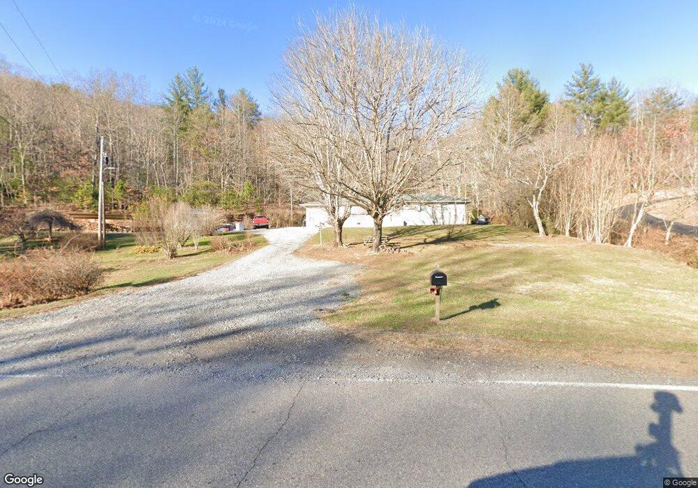
2154 Mulky Gap Rd Blairsville, GA 30512
Estimated Value: $461,907 - $759,000
4
Beds
3
Baths
2,023
Sq Ft
$267/Sq Ft
Est. Value
About This Home
This home is located at 2154 Mulky Gap Rd, Blairsville, GA 30512 and is currently estimated at $540,227, approximately $267 per square foot. 2154 Mulky Gap Rd is a home located in Union County with nearby schools including Union County Primary School, Union County Elementary School, and Union County Middle School.
Ownership History
Date
Name
Owned For
Owner Type
Purchase Details
Closed on
Feb 19, 2021
Sold by
Bridges Doris
Bought by
Patterson Joseph
Current Estimated Value
Home Financials for this Owner
Home Financials are based on the most recent Mortgage that was taken out on this home.
Original Mortgage
$149,600
Outstanding Balance
$133,801
Interest Rate
2.7%
Mortgage Type
New Conventional
Estimated Equity
$406,426
Purchase Details
Closed on
May 13, 2016
Sold by
Dyer Janie
Bought by
Colwell Rhonda
Purchase Details
Closed on
Aug 6, 2015
Sold by
Dyer Janie Faye
Bought by
Bridges Doris and Dyer Janie F
Purchase Details
Closed on
Apr 11, 2006
Sold by
Payne Martha
Bought by
Dyer Janie Faye
Purchase Details
Closed on
Aug 27, 1985
Bought by
Payne Martha
Create a Home Valuation Report for This Property
The Home Valuation Report is an in-depth analysis detailing your home's value as well as a comparison with similar homes in the area
Home Values in the Area
Average Home Value in this Area
Purchase History
| Date | Buyer | Sale Price | Title Company |
|---|---|---|---|
| Patterson Joseph | $187,000 | -- | |
| Colwell Rhonda | -- | -- | |
| Bridges Doris | -- | -- | |
| Dyer Janie Faye | -- | -- | |
| Payne Martha | -- | -- |
Source: Public Records
Mortgage History
| Date | Status | Borrower | Loan Amount |
|---|---|---|---|
| Open | Patterson Joseph | $149,600 |
Source: Public Records
Tax History Compared to Growth
Tax History
| Year | Tax Paid | Tax Assessment Tax Assessment Total Assessment is a certain percentage of the fair market value that is determined by local assessors to be the total taxable value of land and additions on the property. | Land | Improvement |
|---|---|---|---|---|
| 2024 | $1,793 | $153,800 | $40,600 | $113,200 |
| 2023 | $1,861 | $141,800 | $40,600 | $101,200 |
| 2022 | $969 | $114,880 | $37,560 | $77,320 |
| 2021 | $943 | $67,560 | $20,920 | $46,640 |
| 2020 | $900 | $55,323 | $30,650 | $24,673 |
| 2019 | $847 | $55,323 | $30,650 | $24,673 |
| 2018 | $972 | $55,323 | $30,650 | $24,673 |
| 2017 | $836 | $55,643 | $30,650 | $24,993 |
| 2016 | $837 | $55,643 | $30,650 | $24,993 |
| 2015 | $842 | $55,643 | $30,650 | $24,993 |
| 2013 | -- | $55,642 | $30,649 | $24,993 |
Source: Public Records
Map
Nearby Homes
- 392 Poplar Ridge Dr
- 78 Enotah Ln
- 718 Hidden Lake Rd
- 823 Hidden Lake Rd
- 497 Hidden Lake Rd
- 277 Hamilton Rd
- 330 Coosa Run
- 273 Coosa Valley Rd
- 350 Miller Cove Rd
- 10 Acres Mount Pleasant Church Dr
- 43 Melton Dr
- 371 Coosa Way
- 50 Henry Young Ln
- Lot 10 Lower Fox Trail
- #4 Lower Fox Trail
- #3 Lower Fox Trail
- 10 ACRES Mount Pleasant Church Rd
- 18.6Acre Mount Pleasant Church Rd
- 20 ACRES Mount Pleasant Church Rd
- 20 Acr Mount Pleasant Church Rd
- 2154 Mulky Gap Rd
- 2200 Mulkey Gap Rd
- 2056 Mulkey Gap Rd
- 2126 Mulky Gap Rd
- 2235 Mulky Gap Rd
- 2235 Mulky Gap Rd
- 18 Willie Hutson Rd
- 7 Ashbee Overlook
- 2057 Mulky Gap Rd
- 668 Robertson Cir
- 602 Robertson Cir
- 640 Robertson Cir
- 676 Robertson Cir
- 618 Robertson Cir
- 2011 Mulky Gap Rd
- 204 Willie Hutson Rd
- 673 Robertson Cir
- 30 Dogwood Rd
- 0 Willie Hutson Rd Unit 20052167
- 0 Willie Hutson Rd Unit 317620