2154 Sutton Hooten Ln La Grange, NC 28551
Estimated Value: $405,000 - $704,000
4
Beds
5
Baths
5,007
Sq Ft
$114/Sq Ft
Est. Value
About This Home
This home is located at 2154 Sutton Hooten Ln, La Grange, NC 28551 and is currently estimated at $569,928, approximately $113 per square foot. 2154 Sutton Hooten Ln is a home located in Lenoir County with nearby schools including La Grange Elementary School, E.B. Frink Middle School, and North Lenoir High School.
Ownership History
Date
Name
Owned For
Owner Type
Purchase Details
Closed on
Sep 27, 2016
Sold by
Cromer Sandra Hooten and Mewborn Sandra Hooten
Bought by
Mewborn Jacob Bradley
Current Estimated Value
Home Financials for this Owner
Home Financials are based on the most recent Mortgage that was taken out on this home.
Original Mortgage
$240,000
Interest Rate
3.46%
Mortgage Type
New Conventional
Create a Home Valuation Report for This Property
The Home Valuation Report is an in-depth analysis detailing your home's value as well as a comparison with similar homes in the area
Home Values in the Area
Average Home Value in this Area
Purchase History
| Date | Buyer | Sale Price | Title Company |
|---|---|---|---|
| Mewborn Jacob Bradley | -- | None Available |
Source: Public Records
Mortgage History
| Date | Status | Borrower | Loan Amount |
|---|---|---|---|
| Closed | Mewborn Jacob Bradley | $240,000 |
Source: Public Records
Tax History Compared to Growth
Tax History
| Year | Tax Paid | Tax Assessment Tax Assessment Total Assessment is a certain percentage of the fair market value that is determined by local assessors to be the total taxable value of land and additions on the property. | Land | Improvement |
|---|---|---|---|---|
| 2025 | $6,073 | $816,078 | $18,235 | $797,843 |
| 2024 | $3,230 | $339,510 | $11,781 | $327,729 |
| 2023 | $3,095 | $339,510 | $11,781 | $327,729 |
| 2022 | $3,095 | $339,510 | $11,781 | $327,729 |
| 2021 | $3,095 | $339,510 | $11,781 | $327,729 |
| 2020 | $3,095 | $339,510 | $11,781 | $327,729 |
| 2019 | $3,095 | $339,510 | $11,781 | $327,729 |
| 2018 | $3,044 | $339,510 | $11,781 | $327,729 |
| 2017 | $2,750 | $304,641 | $11,781 | $292,860 |
| 2014 | $2,928 | $325,043 | $11,781 | $313,262 |
| 2013 | $2,928 | $325,043 | $11,781 | $313,262 |
| 2011 | -- | $325,043 | $11,781 | $313,262 |
Source: Public Records
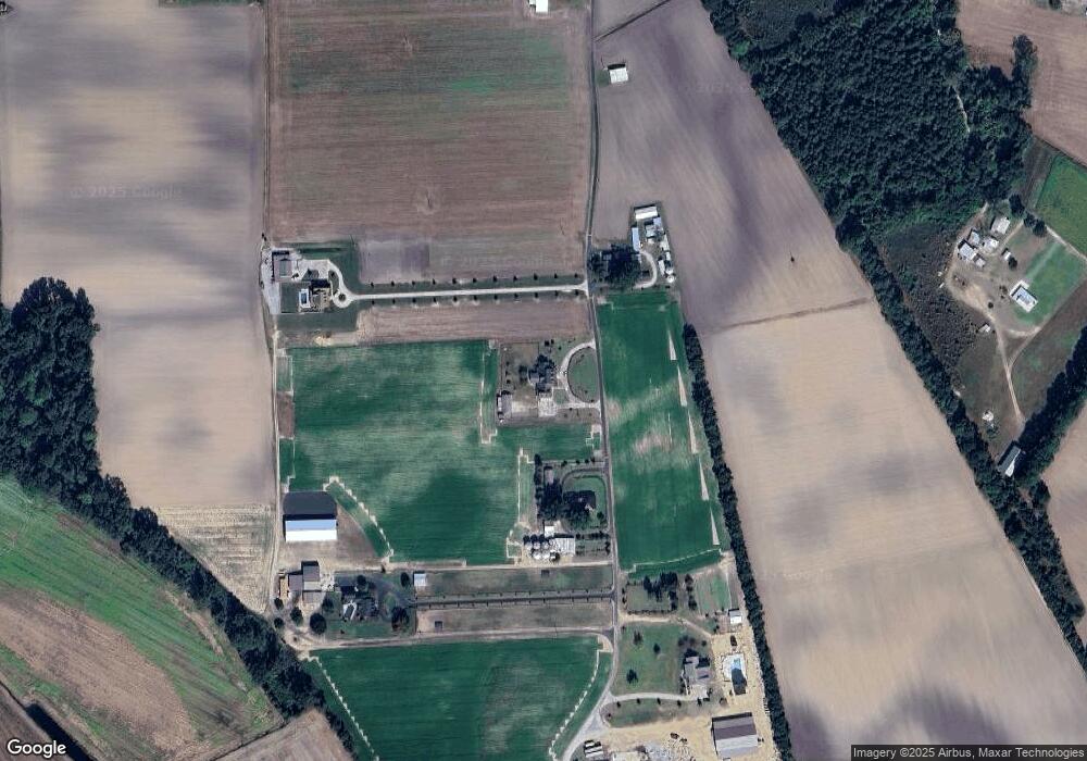
Map
Nearby Homes
- Lot #2 Albert Sugg Rd
- 5301 Barber Rd
- 3733 Fields Station Rd
- 6272 Highway 70 E
- 5517 Bulltown Rd
- 3619 S Caswell St
- 4725 Packhouse Rd
- 805 Madison Ann Dr
- 101 Forest Dr
- Hayden Plan at Blair Ridge
- Freeport Plan at Blair Ridge
- Cali Plan at Blair Ridge
- Belhaven Plan at Blair Ridge
- 210 Wood St
- 201 Wood St
- 202 Wood St
- 208 Wood St
- 217 Wood St
- 204 Wood St
- 205 Wood St
- 2112 Sutton Hooten Ln
- 2177 Sutton Hooten Ln
- 2174 Sutton Hooten Ln
- 2086 Sutton Hooten Ln
- 2071 Sutton Hooten Ln
- 2269 Sutton Hooten Ln
- 1730 Sutton Shortcut Rd
- 2300 Sutton Hooten Ln
- 2310 Sutton Hooten Ln
- 3888 Pine Bush Rd
- 4438 Ben E Sutton Rd
- 4253 Kennedy Home Rd
- 3872 Pine Bush Rd
- 4401 Ben E Sutton Rd
- 3848 Pine Bush Rd
- 4163 Kennedy Home Rd
- 1581 Sutton Shortcut Rd
- 3774 Pine Bush Rd
- 3837 Pine Bush Rd
- 3823 Pine Bush Rd