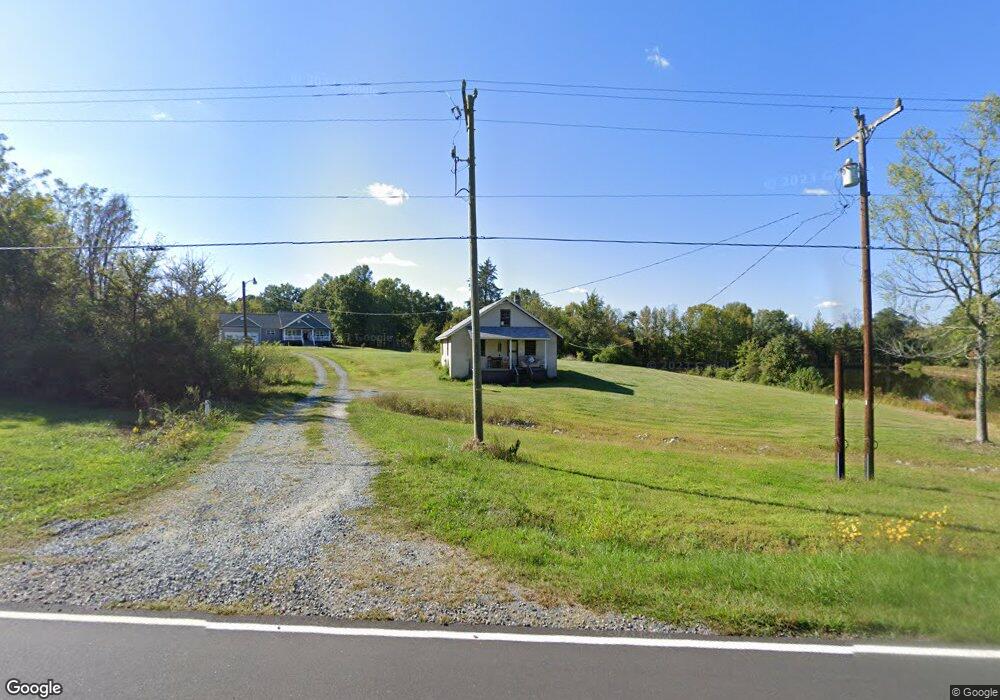
2154 Union Ridge Rd Burlington, NC 27217
Estimated Value: $183,000 - $433,329
3
Beds
2
Baths
784
Sq Ft
$399/Sq Ft
Est. Value
About This Home
This home is located at 2154 Union Ridge Rd, Burlington, NC 27217 and is currently estimated at $313,082, approximately $399 per square foot. 2154 Union Ridge Rd is a home with nearby schools including South Elementary School, N.L. Dillard Middle School, and Bartlett Yancey High School.
Ownership History
Date
Name
Owned For
Owner Type
Purchase Details
Closed on
Mar 4, 2016
Sold by
Rew Land Llc
Bought by
King Stephen and King Peggy Diann
Current Estimated Value
Create a Home Valuation Report for This Property
The Home Valuation Report is an in-depth analysis detailing your home's value as well as a comparison with similar homes in the area
Home Values in the Area
Average Home Value in this Area
Purchase History
| Date | Buyer | Sale Price | Title Company |
|---|---|---|---|
| King Stephen | $80,000 | None Available |
Source: Public Records
Tax History Compared to Growth
Tax History
| Year | Tax Paid | Tax Assessment Tax Assessment Total Assessment is a certain percentage of the fair market value that is determined by local assessors to be the total taxable value of land and additions on the property. | Land | Improvement |
|---|---|---|---|---|
| 2024 | $2,182 | $310,972 | $89,198 | $221,774 |
| 2023 | $2,047 | $246,551 | $66,750 | $179,801 |
| 2022 | $2,016 | $246,551 | $66,750 | $179,801 |
| 2021 | $2,016 | $246,551 | $66,750 | $179,801 |
| 2020 | $1,963 | $246,551 | $66,750 | $179,801 |
| 2019 | $1,962 | $246,551 | $66,750 | $179,801 |
| 2018 | $482 | $0 | $0 | $0 |
| 2017 | $482 | $0 | $0 | $0 |
Source: Public Records
Map
Nearby Homes
- 00 Rascoe Rd
- 0 Rascoe Rd
- 2225 Hughes Mill Rd
- 2343 Hughes Mill Rd
- 2265 Hughes Mill Rd
- 2323 Hughes Mill Rd
- 2373 Hughes Mill Rd
- 0 Willie Pace Rd
- 00 Hughes Mill Rd
- 2365 Hughes Mill Rd
- 2379 Hughes Mill Rd
- 000 Durham St
- 0000 Durham Street Extension
- 2048 Churchill Dr
- 0 Rascoe Dameron Rd
- 00 Kerr's Chapel Rd
- 5080 Indian Camp Rd
- 5715 Mount Vernon Church Rd
- 2776 Pleasant Grove Union School Rd
- 2533 Holly Brook Dr
- 2244 Union Ridge Rd
- 2108 Union Ridge Rd
- 1960 Union Ridge Rd
- 6725 Union Ridge Rd
- 201 Vinson Rd
- 2054 Vinson Rd
- 289 Jacobs Trail
- 6662 Union Ridge Rd
- 6646 Union Ridge Rd
- 6603 Union Ridge Rd
- 1764 Union Ridge Rd
- 6569 Union Ridge Rd
- 305 Vinson Rd
- 175 Earl Kimber Rd
- 00 Earl Kimber Rd
- 444 Jacobs Trail
- 00 Earl Kimber Rd
- 1760 Vinson Rd
- 1760 Vinson Rd
- 1760 Vinson Rd