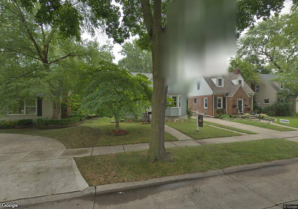
21540 Olmstead St Unit Bldg-Unit Dearborn, MI 48124
Ford Homes Historic District NeighborhoodEstimated Value: $252,148 - $326,000
3
Beds
3
Baths
1,386
Sq Ft
$210/Sq Ft
Est. Value
About This Home
This home is located at 21540 Olmstead St Unit Bldg-Unit, Dearborn, MI 48124 and is currently estimated at $291,037, approximately $209 per square foot. 21540 Olmstead St Unit Bldg-Unit is a home located in Wayne County with nearby schools including Duvall Elementary School, Smith Middle School, and Edsel Ford High School.
Ownership History
Date
Name
Owned For
Owner Type
Purchase Details
Closed on
Jun 1, 2022
Sold by
Nasser Abunab
Bought by
Abunab Malek N and Abunab Maher N
Current Estimated Value
Purchase Details
Closed on
May 21, 2012
Sold by
Abunab Laila Nasser
Bought by
Abunab Nasser Ibrahim
Purchase Details
Closed on
Jan 31, 2011
Sold by
Federal Home Loan Mortgage Corporation
Bought by
Abunab Laila and Abunab Nasser
Purchase Details
Closed on
Dec 12, 2003
Sold by
Guerin Robert E and Guerin Leanore M
Bought by
Balestrieri Daniel D
Create a Home Valuation Report for This Property
The Home Valuation Report is an in-depth analysis detailing your home's value as well as a comparison with similar homes in the area
Home Values in the Area
Average Home Value in this Area
Purchase History
| Date | Buyer | Sale Price | Title Company |
|---|---|---|---|
| Abunab Malek N | -- | None Listed On Document | |
| Abunab Nasser Ibrahim | -- | None Available | |
| Abunab Laila | $51,900 | Attorneys Title Agency Llc | |
| Balestrieri Daniel D | $148,000 | Multiple |
Source: Public Records
Tax History Compared to Growth
Tax History
| Year | Tax Paid | Tax Assessment Tax Assessment Total Assessment is a certain percentage of the fair market value that is determined by local assessors to be the total taxable value of land and additions on the property. | Land | Improvement |
|---|---|---|---|---|
| 2025 | $3,827 | $100,300 | $0 | $0 |
| 2024 | $3,827 | $124,600 | $0 | $0 |
| 2023 | $3,403 | $133,800 | $0 | $0 |
| 2022 | $3,918 | $95,200 | $0 | $0 |
| 2021 | $4,015 | $88,100 | $0 | $0 |
| 2019 | $4,071 | $73,300 | $0 | $0 |
| 2018 | $3,436 | $66,100 | $0 | $0 |
| 2017 | $809 | $63,500 | $0 | $0 |
| 2016 | $3,640 | $62,300 | $0 | $0 |
| 2015 | $4,986 | $58,300 | $0 | $0 |
| 2013 | $4,830 | $48,300 | $0 | $0 |
| 2011 | -- | $53,050 | $0 | $0 |
Source: Public Records
Map
Nearby Homes
- 21725 Nowlin St
- 21353 Donaldson St
- 22151 Olmstead St
- 21514 Francis St
- 22200 Gregory St
- 21230 Audette St
- 22101 Francis St
- 22306 Nowlin St
- 22223 Military St
- 20761 Outer Dr
- 22406 Nowlin St
- 2721 Pardee Ave
- 22205 Columbia St
- 22350 Military St
- 21514 Homer St
- 3245 Gertrude St
- 3101 Roosevelt St
- 3260 Gertrude St
- 3321 Williams St
- 3333 Dudley St
- 21540 Olmstead St
- Olmstead St
- 21530 Olmstead St
- 21556 Olmstead St
- 21524 Olmstead St
- 21523 Gregory St
- 21564 Olmstead St
- 21543 Gregory St
- 21549 Gregory St
- 21700 Olmstead St Unit Bldg-Unit
- 21700 Olmstead St
- 21500 Olmstead St
- 21555 Gregory St
- 21515 Gregory St
- 21541 Olmstead St
- 21551 Olmstead St
- 21533 Olmstead St
- 21565 Gregory St
- 21710 Olmstead St
- 21525 Olmstead St