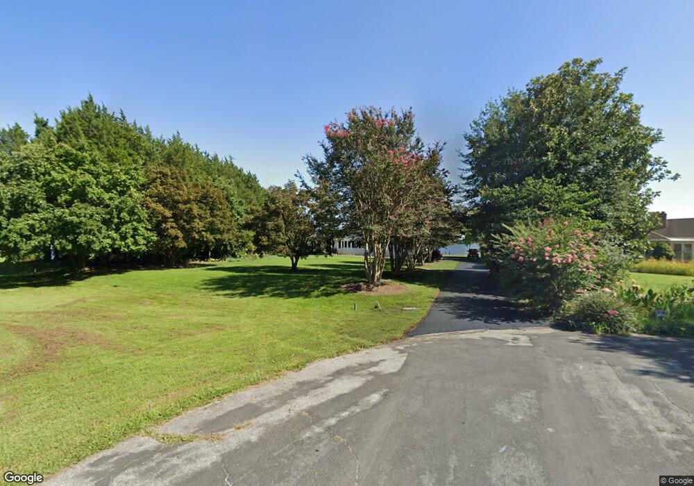
21540 Port View Cir Leonardtown, MD 20650
Estimated Value: $500,000 - $677,000
--
Bed
3
Baths
1,638
Sq Ft
$354/Sq Ft
Est. Value
About This Home
This home is located at 21540 Port View Cir, Leonardtown, MD 20650 and is currently estimated at $579,719, approximately $353 per square foot. 21540 Port View Cir is a home located in St. Mary's County with nearby schools including Benjamin Banneker Elementary School, Leonardtown Middle School, and Leonardtown High School.
Ownership History
Date
Name
Owned For
Owner Type
Purchase Details
Closed on
Apr 13, 2016
Sold by
Lange Phyllis L and The Phyllis K Lange Trust
Bought by
Lange Pauline and Hayward Philip C
Current Estimated Value
Purchase Details
Closed on
Sep 7, 2006
Sold by
Lange John P
Bought by
Lange Phyllis K Trustee
Purchase Details
Closed on
Jul 17, 2006
Sold by
Lange John P
Bought by
Lange Phyllis K Trustee
Create a Home Valuation Report for This Property
The Home Valuation Report is an in-depth analysis detailing your home's value as well as a comparison with similar homes in the area
Home Values in the Area
Average Home Value in this Area
Purchase History
| Date | Buyer | Sale Price | Title Company |
|---|---|---|---|
| Lange Pauline | -- | Attorney | |
| Lange Phyllis K Trustee | -- | -- | |
| Lange Phyllis K Trustee | -- | -- |
Source: Public Records
Tax History Compared to Growth
Tax History
| Year | Tax Paid | Tax Assessment Tax Assessment Total Assessment is a certain percentage of the fair market value that is determined by local assessors to be the total taxable value of land and additions on the property. | Land | Improvement |
|---|---|---|---|---|
| 2025 | $6,141 | $564,300 | $347,400 | $216,900 |
| 2024 | $5,857 | $548,700 | $0 | $0 |
| 2023 | $5,521 | $533,100 | $0 | $0 |
| 2022 | $5,360 | $517,500 | $347,400 | $170,100 |
| 2021 | $5,247 | $506,533 | $0 | $0 |
| 2020 | $5,134 | $495,567 | $0 | $0 |
| 2019 | $5,020 | $484,600 | $327,400 | $157,200 |
| 2018 | $5,018 | $484,600 | $327,400 | $157,200 |
| 2017 | $4,999 | $484,600 | $0 | $0 |
| 2016 | -- | $487,700 | $0 | $0 |
| 2015 | -- | $487,700 | $0 | $0 |
| 2014 | $4,130 | $487,700 | $0 | $0 |
Source: Public Records
Map
Nearby Homes
- 40171 Little Woods Ln
- 21920 Newtowne Neck Rd
- 20798 Waterside Dr
- 22338 White Oak Rd
- 22501 Bull Rd
- 22362 Armstrong Dr
- 40461 Old Breton Beach Rd
- 24645 Springhill Ln
- 40533 Breton Knolls Ct
- 0 Long Leaf Ln Unit MDSM2026482
- 0 Long Leaf Ln Unit MDSM2026514
- 40624 Breton Oaks Ln
- 22592 Quiet Ln
- 22626 Chickadee Ln
- 0 Kiskadee Ln
- 40412 B Somerville Ln
- 22539 Landing Way
- 0 Wathen Rd
- 39825 Sweetpea Ln
- 39645 Sweetpea Ln
- 21530 Port View Cir
- 40559 Port Place
- 40569 Port Place
- 21533 Port View Cir
- 280 Port Place
- 40549 Port Place
- 21543 Port View Cir
- 40579 Port Place
- 40539 Port Place
- 40582 Port Place
- 40529 Port Place
- 40599 Port Place
- 21609 Coves End Ct
- 40532 Port Place
- 21612 Coves End Ct
- 40519 Port Place
- 40605 Port Place
- 21616 Coves End Ct
- 21615 Coves End Ct
- 40522 Port Place